FORT LEONARD WOOD, Mo. — Soldiers from the Army’s geospatial community are set to gather at Fort Leonard Wood March 28 to 31 for the Regimental Best Mapper Competition to be held at the home of the U.S. Army Engineer School.
Feb. 14 is the last day for Geospatial Engineers wanting to compete for the title of Best Mapper to register.
“We will then do a live lottery drawing to choose the teams during February’s All Things Geospatial Teams call Feb. 20,” said Chief Warrant Officer 5 Jason Davis, senior geospatial integrator for U.S. Army Training and Doctrine Command Proponent Geospatial.
During the competition, two-person teams will be judged on their ability to perform time-constrained physical and mental challenges that test geospatial and communication skills, along with Soldiering tasks, such as land navigation and general fitness.
Capt. Bernadette Spezia, geospatial development officer with TPO – Geospatial, said the Best Mapper promotes excellence in geospatial tasks, highlights the impact of geospatial technology on military operations, encourages teamwork and innovation, and recognizes outstanding performance among Army mappers.
According to Davis, bringing the competition to the home of the regiment “supported standardizing this highly technical event with the proper resources and the best facilities to host it.”
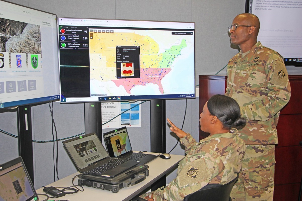
He said Soldiers trained in the 12Y military occupational specialty — referred to by Davis as “12 Yankees” — are part of what he called a “very technical MOS” responsible for generating, managing, analyzing and disseminating geospatial data and products.
“Their tasks include extracting geographic data from satellite imagery, aerial photography, and field reconnaissance to create maps and databases. They provide crucial information to commanders to aid in decision-making for military operations, disaster relief and homeland security,” Davis explained.
The Best Mapper Competition focuses on the technical tradecraft and analysis that Geospatial Engineers are required to perform to support unit staff and commanders.
“The competition challenges their ability to receive multiple product requests from staff, analyze complex geospatial data, and then produce geospatial decision aids all under strict time constraints. This includes the physically demanding events held each day supporting the total Soldier concept of being both mentally and physically tough,” Davis said.
Most of the mentally taxing tests will be performed on a computer in Fort Leonard Wood’s Brown Hall. Some of the physical tasks will include an obstacle course and a 12-mile ruck march.
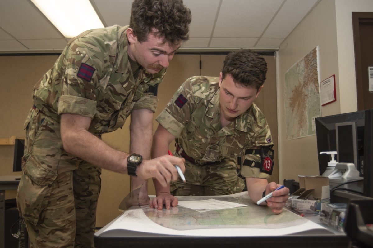
According to Spezia, there are already 16 U.S. Army teams, including National Guard and Reserve, that have signed up for the lottery — some of them from as far away as Italy, Germany and Hawaii.
“There are currently three international teams, two from the United Kingdom and one from Germany, interested in participating,” Spezia added.
Registration is open to all ranks of Geospatial Engineers through this link.
“A memorandum of instruction is being sent out to all teams detailing the tasks and analysis we expect competitors to come execute,” Davis said.
Davis said those interested in learning more are welcome to email jason.r.davis56.mil@army.mil or bernadette.e.spezia.mil@army.mil.
Social Sharing