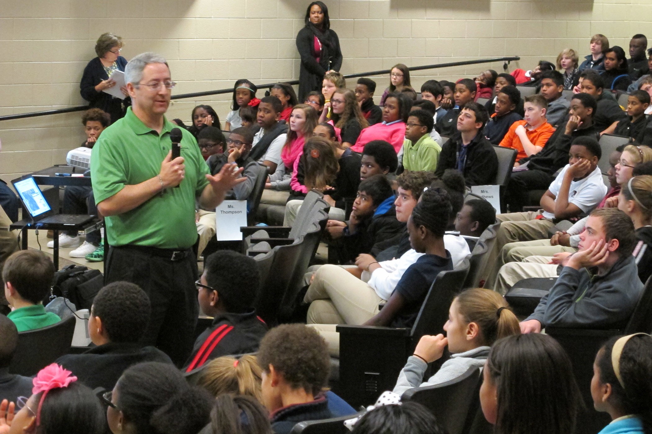
Students from the Williams Middle School saw up close what it is like to be part of a GIS team Nov. 19 during a GIS Day led by employees from the Corps of Engineers Huntsville Center and the City of Huntsville's Urban Development Planning Division's Geographic Information Systems Division.
The goal was to give sixth, seventh and eighth-grade students a basic geography lesson using Geographic Information System technology.
Huntsville Center Installation and Programs Management Directorate employee John Trudell spoke about everything from his daily use of GIS to how the organization utilizes this technology on project sites to set up energy stations around the globe. The City of Huntsville's GIS team members, Tim Barnes and Marvin Gordon, showed the students how the technology is used to plan school site and keep them safe during inclement weather and natural disasters.
GIS Day is part of an annual education initiative that shows how GIS works. Users open their doors to schools, businesses and the general public to showcase real-world applications of GIS. GIS Day is held the third Wednesday in November during National Geography Awareness Week, a geographic literacy initiative sponsored by the National Geographic Society.
The day's activities at the school included online resources, maps and discussions related to geography.
Trudell, an engineer and program manager at Huntsville Center, led a discussion he said was intended to give students an introduction to geography that focused on how the Energy Division uses geospatial dashboards to help determine where to place energy products.
"Many installations depend on the technology to plan their energy models and determine locations for placement of solar panels and wind farms," Trudell said. "We couldn't get information on parameters -- power lines, transformers, communication lines, wind potential, land use and structures on our projects without GIS technology. It's necessary for everyone to do their jobs well."
Paula Malone, technical educator and lead instructor for the Project Lead the Way Program at Williams Middle School, said having an engaged network of educators and corporate partners helps students develop the skills needed to succeed in our global economy. She planned the GIS event because she wanted to show her students the relevance of the subject matter with experts from the local GIS community.
"I think having a geography lesson using GIS technology is important because the students gain an awareness of a new career field within the federal government. Today they are allowed to look at maps and research using technology with GIS professionals," Malone said. "PLTW is designed to complement math and science courses. The overall goal of the event is to help students gain an understanding of basic geography and other STEM material using an interactive teaching method. The Army Corps of Engineers and the City of Huntsville reached back to the next generation of STEM professionals today. It's a win for everyone."
The students said they enjoyed the day's activities.
Eighth-grader Sarah Packard said participating in the GIS Day event has changed the way she looks at geography. The team also made STEM careers seem like fun.
"The GIS team showed me what GIS is and how we already use it every day," Packard said. "I didn't really think about GIS being in our phones and having the ability to track me if needed. I thought it was cool that the technology is used to help with energy products, too. I want to learn more about how this works."
The school administrators said they were pleased with the career awareness part in the workshop.
Malone said middle school age is when students either start getting involved in the mathematics and the science, or they get discouraged with it.
"The middle school age is that decision point when students decide what courses they're actually going to take in high school," Malone said. "We want our students to know about unique STEM careers like geographers, geophysicists and GIS professionals. We include some of this into their school curriculum. However, it's always a plus for us when we can bring in outside resources to help reinforce this."
Barnes said his team is more than happy to share their experiences working with GIS, to encourage the students to follow in their footsteps as GIS professionals.
"GIS Day provides a forum for users of geographic information systems. I'm excited to have an opportunity to join in on the worldwide celebration today saluting geospatial technology and its power to improve our lives," Barnes said. "GIS plays a role in everything we do."
Social Sharing