The senior consultant for water resources in Iraq, the Multi-National Corps-Iraq geospatial team and Iraqi surveying engineers from the ministry of water resources discussed the future of a geospatial reference project Iraq is currently taking over, at the U.S. Embassy in the International Zone Monday.
The project, called the Iraqi Geospatial Reference System project, will provide a more accurate reference system for navigation, making reconstruction in Iraq much easier.
"[The IGRS] is a key part of infrastructure for Iraq," said Linda Allen, senior consultant for water resources, U.S. Embassy in Iraq. "It establishes a key reference system, which is important for the navigational system."
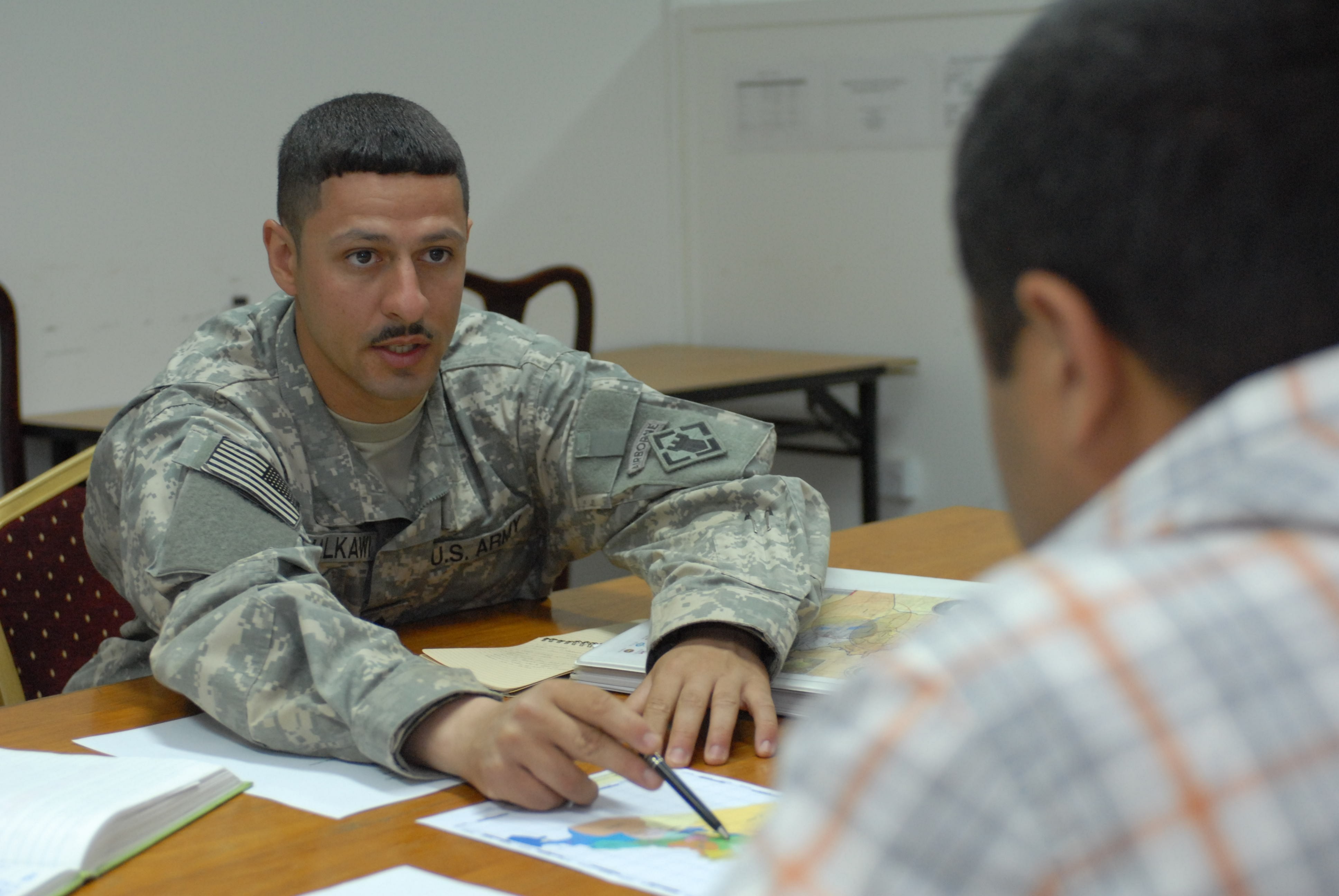
"The system helps construction workers and civil engineers throughout the country with building bridges, highways, buildings and helps with the irrigation systems and the accuracy of dams," said Staff Sgt. Anas Malkawi, geodetic surveyor, 100th Engineer Company, 20th Engineer Brigade, who spoke with his Iraqi counterparts during the meeting. "When you do global positioning system surveying, you have to get real accurate coordinates and without a good accurate GPS reference system to start your work you'll run into some issues with surveying."
Six geospatial reference points, called continuously operating reference stations, were installed by the U.S. military in 2005, but since their continual operation has been a problem for Iraqi engineers, new equipment has been purchased with Iraqi funds, Malkawi said.
"We gave advice to the Iraqi Transition Assistance Office on what equipment to purchase for the ministry of water resources," Malkawi said. "[We chose] equipment that would suit the Iraqis and their operations."
The U.S. Army recently helped Iraqi surveying engineers install the first of seven CORS systems that will be completed by the end of the IGRS project, and provided training on the new equipment.
The Army has cooperated with the ITAO and ministry of water resources to provide training on the operation and installation of the new systems for the Iraqis, said Malkawi.
The next six systems will be installed by Iraqi engineers. The meeting focused partly on the future locations of those systems to come, which were determined by Iraqi engineers with the ministry of water resources, Malkawi said.
Iraq will benefit largely in many ways from the completion of the geospatial reference system, but especially with construction and reconstruction efforts across the country.
"The new equipment from the embassy will shortcut the time it takes for us to do observations," said Wisan Hussein, surveying engineer, ministry of water resources. "It will also help us revise our maps and publish them for all ministries."
While the U.S. military continues to guide the country of Iraq to successful reconstruction, one of the largest steps has already been taken. With constantly updated coordinates, a more accurate geospatial system for navigation and the right experts to put it into use, Iraqis are well on their way to standing strong.
"I'm very confident in the success of the project transition," Malkawi said. "The Iraqis are very professional surveyors, and they're experts in this field; we just have to give them the basic knowledge on this new, advanced equipment and they take over from there."
Social Sharing