
SACRAMENTO, Calif. -- It's a complicated equation to balance - preserving the natural ecosystem while maximizing water quality, water supplies and safety for human inhabitants. That's a fact of life agreed upon by every agency working to manage the Sacramento-San Joaquin Delta.
Hydrological engineers with the U.S. Army Corps of Engineers Sacramento District hosted a workshop Aug. 11 to share and discuss their 3D computer models of the Delta water system with scientists and engineers from other state and federal agencies working to protect it.
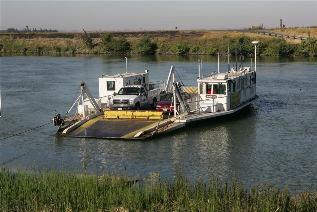
The Delta is an integral part of the largest west coast estuary - connecting freshwater streams from the Sacramento and San Joaquin river watersheds with the Pacific Ocean.
"We believe we have the advanced computer modeling tools ready to start evaluating some of the prime resource management questions in the Delta," says Gene Maak, Corps hydraulic engineer and project lead for the Delta modeling effort.
"The greatest value of this modeling is to show the effects of connected habitats - viewing the entire Delta as a unified system," said Maak. "This strengthens our knowledge base toward achieving our co-equal goals of flood risk management, water supply availability, water quality and ecosystem health."
The recent gathering was the third such workshop offered by the Sacramento District since formulation of these computer models of the Delta water system began in 2008. Attendees included representatives from the California Department for Water Resources, the Delta Stewardship Council, the U.S. Environmental Protection Agency and the National Oceanic and Atmospheric Administration's National Marine Fisheries Service.
Maak and his Sacramento team have been compiling data for two well-recognized numerical hydrodynamic models to demonstrate the complex flow of Delta water from its origins near Verona and Vernalis all the way through San Francisco Bay to the Golden Gate Bridge. The computer model uses 20,000 grid cells to account for 1,300 square miles of water.
In addition to the state-of-the-art hydrodynamic model that tracks seasonal and tidal variations in water level, salinity and water temperature, the computer model also examines such variables as sediments and water clarity, nutrients, algae, organic carbon and dissolved oxygen. The Corps team is currently conducting an analysis of the available data to see what information may still be required to improve the models.
The two computer models being used by the Sacramento District are open-source code and can be run with common modeling software, so the data is easily shared with other agencies.
There are two specific models being used by the Corps engineers: AdH and EFDC.
AdH - the Adaptive Hydraulics Model - is a model created by the Corps' Engineer Research and Development Center in Vicksburg, Miss. Maak and his team are using AdH to help develop an operational plan for flood risk management in the Delta.
EFDC - Environmental Fluid Dynamics Code - is supported by the U.S. Environmental Protection Agency Office of Water and is one of the most widely-used advanced hydrodynamic models in the world. The EFDC model examines how all the ingredients in Delta waters move through the system and the effects of tides, freshwater inflows, water supply withdrawals, irrigation return flows and wastewater discharges.
The Corps' intent with Delta modeling is to share knowledge with other agencies to help build a strong scientific foundation for sustainable resource management and a healthy and vital Delta system.
Social Sharing