CAMP TAJI, Iraq (Feb. 5, 2008) -- Two specialists and a private are key elements to every aerial mission Task Force XII takes on here.
The trio provides task force aviators with a clearer picture of the terrain they're flying over and landing on.
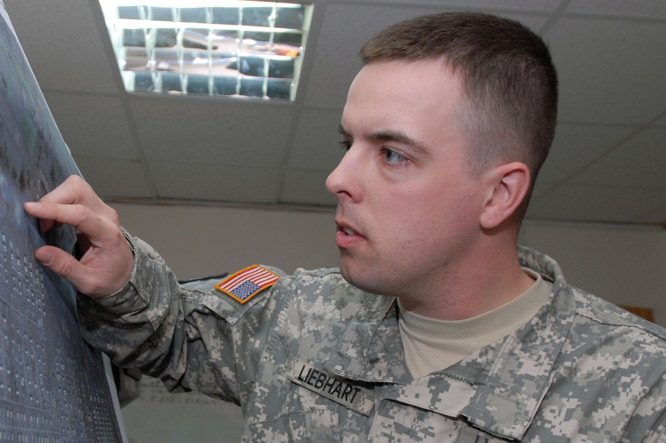
Pfc. Todd Liebhart, Spc. Jay Mallison and Spc. Ramon Perez make up the task force's topographic analyst team. In other words, they make the up-to-date maps task force operations officers use to plan and pilots use to execute their missions.
Task Force XII, the aviation task force that supports Multi-National Division - Baghdad, is led by U.S. Army Europe's 12th Combat Aviation Brigade. The three mapmakers are assigned to the 12th's Headquarters and Headquarters Company.
"We compile data given to us from (several) sources into a map that shows the area of operation for each brigade combat team, as well as any major terrain features," said Liebhart. "The information we analyze and put together helps personnel to better plan their movement from one place to another."
Flight crews have many things to consider before they take off, and maps help them figure some of those things out, said Mallison.
"Pilots need to know what (brigade combat team) zone they're leaving and entering, because different brigades are responsible for different areas," he said. "If something happens and that pilot needs help, he has to know which brigade call sign to use."
In addition to showing BCT zones, the maps help pinpoint objects on the ground that could impact aviation operations.
"Our maps can show vertical obstacles such as power lines, tall towers and anything higher than 50 feet," said Perez. "It all depends on what the customer requests, because we can also put mosques and other religious structures on the map for them."
The team's maps also play a crucial role in planning routes and conducting air assaults, said Capt. Caleb Van Dyken, a task force air assault planner.
"Without the ability to go out and physically (reconnoiter) all the objectives, it's important for us, as aviators, to get a good map (reconnaissance) of the area prior to going in on an air assault," said Van Dyken, a UH-60 Black Hawk helicopter pilot. "(A terrain analysis) gives the aviators an idea of what they're going to see coming inbound to each landing zone."
Even though helicopters are equipped with high-tech navigation equipment such as global positioning systems, pilots still use maps for an old-fashioned reason -- to let them know which direction to go.
"Even though our aircraft have GPS, we have to use maps to input data into the guidance system to get us where we're going," said Lt. Col. Charles Bowery Jr., task force executive officer and an AH-64D Longbow Apache helicopter pilot. "These maps can come in handy if a pilot gets lost, or they can be used as a backup to guidance systems."
"I think our topographic analyst team does a fantastic job," said Bowery. "These guys provide us with an invaluable service ... an essential product that goes on every mission flown by Task Force XII pilots."
Since arriving at Taji, the terrain team has printed more than 100 maps and answered more than 160 requests for information.
"When customers turn in an RFI, we go over it with them and let them know what information we already have, and they let us know if they need more information," said Perez. "These RFIs help us keep track of what the customers want, and they help us keep our maps as current as possible."
"We are constantly communicating with other terrain teams and helping each other out," said Liebhart.
"So if there's something we're working on, or ... we have (information) the other teams don't, we help them, and vice versa."
Social Sharing