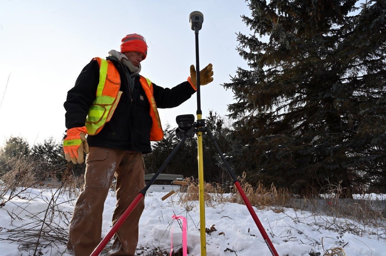
From Minot, North Dakota, to Guttenberg, Iowa, and countless sites and cities in between, the St. Paul District survey team can often be seen negotiating terrain and weather elements to gather critical data.
The information the team collects is used for multiple purposes from defining property lines to helping identify locations for future projects, said Paul Johnson, St. Paul District survey team chief. He said the team basically gathers measurements for the surface of Earth – both horizontal and vertical elevations. It’s these precise measurements that are critical to developing flood risk management solutions, Johnson added.
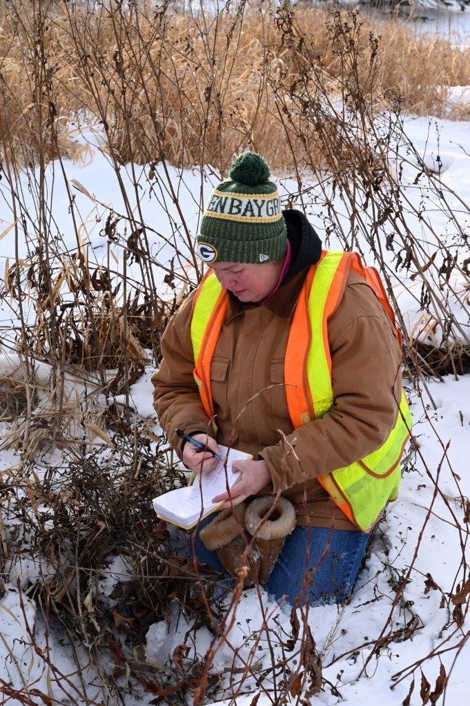
It’s the need for these measurements that recently brought Johnson and his colleague, Miray Welle, to Lake Elmo, Minnesota, a neighborhood just east of St. Paul, Minnesota. Maj. Nick Vottero, St. Paul District project manager, said the Corps of Engineers is currently working with the watershed district on a flood mitigation study. The watershed encompasses nine landlocked lakes and ponds within the community, Vottero said. He added that the residents have experienced historically high-water levels over the past several years.
The team was hiking through fields with temperatures hovering around 20 degrees as they looked for culverts and other hidden locations beneath a blanket of snow. For Johnson, the weather wasn’t too bad. In fact, he said it was ‘pleasant.’ He was quick to add that there are plenty of days where the weather doesn’t climb above zero. When the temperature drops that low, Johnson said the work continues but sometimes requires an occasional coffee break to warm up. He added that regardless of the temperature, the survey team is always focused on the job.
Johnson, a seasoned veteran having worked for the Corps of Engineers for nearly 30 years, said the work was very familiar to him given he’s surveyed most of the St. Paul District’s territory. Of all the projects and locations, he said the Gantenbein Project, located east of Lock and Dam 3, near Diamond Bluff, Wisconsin, is the one that stands out the most. He said the surveys were ordered to help identify locations for a future service road in the marshy backwaters of the Mississippi River. “Between the poison ivy, the mosquitos, the mud and the difficult access, it was memorable,” Johnson said with a smirk. Welle added “that was just during the summer, the winter was worse.”
Regardless of the conditions, whether frigid temperatures and snow or mosquito infested fields, the district’s survey team is always up for a challenge, Johnson said. The team is typically in the field 70-80% of the year. He added that in addition to his team, the district also has a survey team out of the Fountain City Service Base in Fountain City, Wisconsin, that also does hydrographic surveys of the Mississippi River. “We can basically survey anything above or below the water,” Johnson said. “Every project begins and ends with a survey.”
-30-
Social Sharing