
AWENDAW, S.C. — The Charleston District of the U.S. Army Corps of Engineers is responsible for 15 navigation projects along the South Carolina coast, stretching from Little River Inlet near the North Carolina border to Port Royal Harbor on South Carolina’s southern coast.
Providing safe and navigable waterways is a priority for the district. To keep the waterways open, the navigation program is responsible for the operation and maintenance of approximately 300 miles of navigation channels, which includes the Charleston Harbor, several coastal inlets — the Folly River, Jeremy Creek and Murrells Inlet — and the Atlantic Intracoastal Waterway in South Carolina.
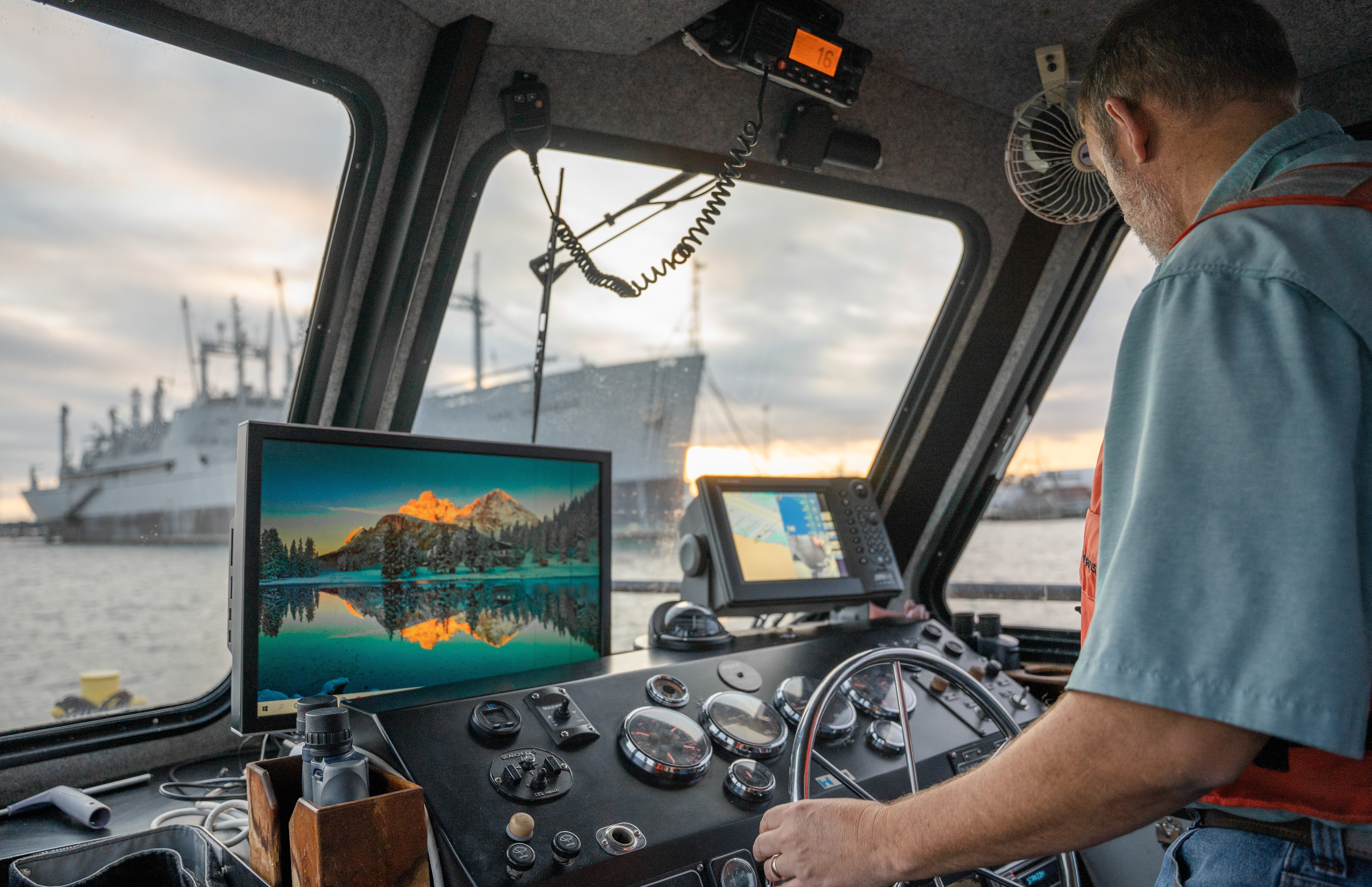
To ensure that these channels are maintained to their authorized depth, the district has two state-of-the-art survey vessels — the S/V Heiselman and the S/V Evans.
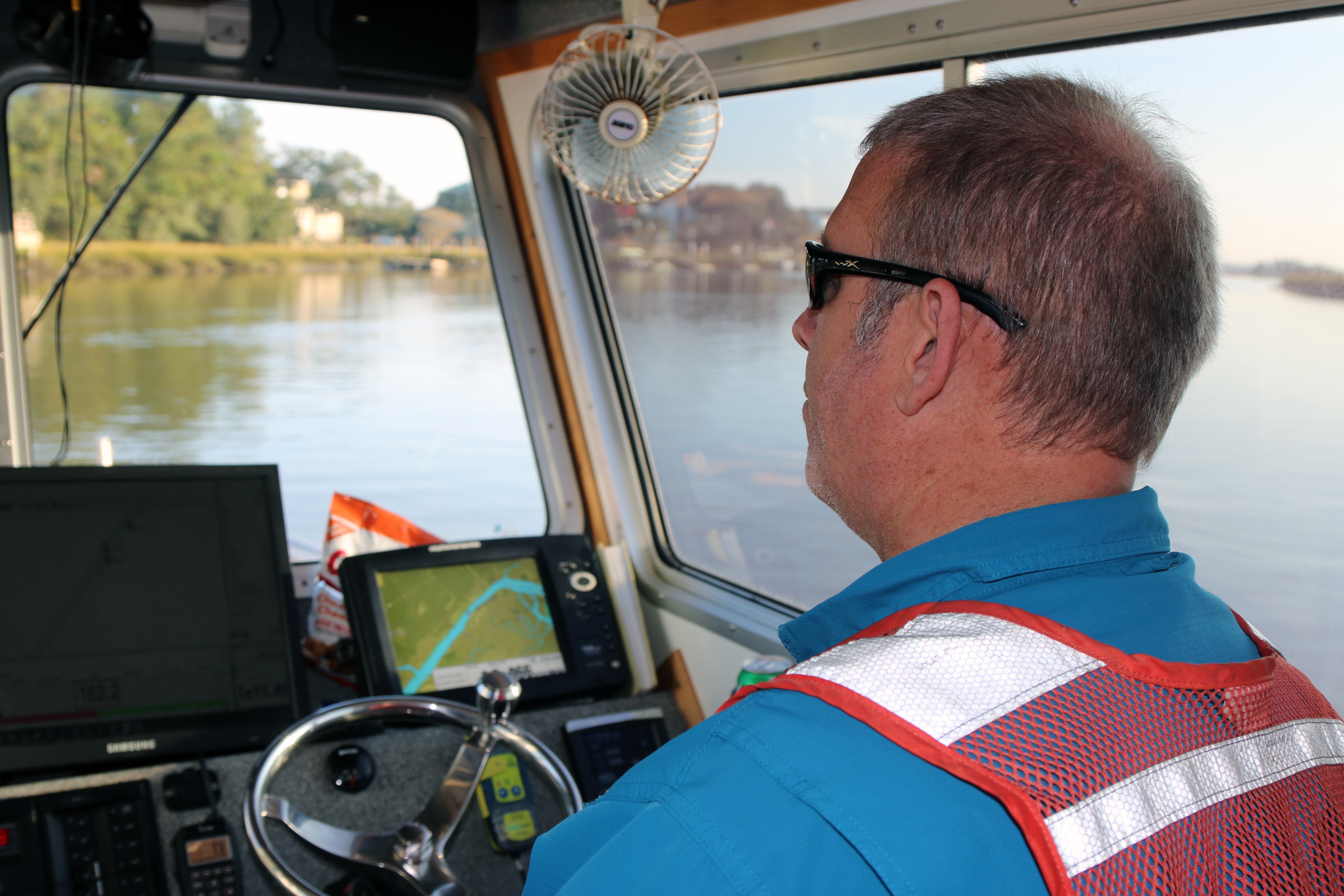
“Annually we come out and check the depth of the Atlantic Intracoastal Waterway,” said Sonja Zindars, a geographer and survey technician with Charleston District. “Since it’s a federal channel, we are responsible for keeping the depth to 12 feet. We note any problem areas so that way in our next fiscal cycle, we can dredge that area to keep watercraft moving along safely.”


conductivity, temperature, and depth to determine a speed of sound change
throughout the water column. VIEW ORIGINAL
The S/V Heiselman is a 26-foot-long boat named for Eugene Heiselman. Heiselman — who passed away in April 2015 — spent 30 years with the district, captaining three other vessels during that time. He was instrumental in the procurement of the S/V Evans. The boat was dedicated in his memory during a ceremony in March 2016, with Heiselman’s son christening the boat.
The S/V Heiselman serves as the district’s main vessel for conducting surveys of smaller projects, such as the Atlantic Intracoastal Waterway.
“We can do single-beam and multi-beam sonar,” said Zindars. “Today we were using single-beam sonar. Sound travels through the water and pings back up once it hits the bottom. By judging the time difference, we can tell how deep the water is. That’s recorded in software and analyzed and that’s how we make the nautical maps that USACE is responsible for providing to the National Oceanic and Atmospheric Administration.”
At 41-feet long, the S/V Evans is the larger of the two vessels. It performs hydrographic surveys for all deep draft navigation projects in Charleston District, such as the Charleston Harbor Post 45 deepening project.
By design, the S/V Evans is equipped with the same survey equipment as the S/V Heiselman. In the case of an equipment failure on either of the vessels, the redundancy allows for things to be quickly swapped out to not delay the crew’s important work.
“The Evans is more robust and can handle worsening weather conditions,” said Zindars. “When it comes to which boat to use, it’s all dependent on the survey location and weather conditions.”
Additionally, the district has two smaller vessels that are used in performing work in shallow water or when they need to pull the boat up onto a beach.
To operate all these vessels, the survey team is made up of seven employees, including two boat captains.
“Getting to be on our beautiful waterways, enjoying our gorgeous landscape and seeing the marine life all while performing such an impactful mission to our state and nation makes this the best job ever,” said Zindars.
To learn more about the Charleston District’s navigation responsibilities, visit https://www.sac.usace.army.mil/Missions/Navigation.aspx.
Social Sharing