The existing Federal navigation project includes roughly 70 miles of channels. The main stem channel that leads into the Tampa Bay port system is approximately 42 miles long, 500 feet wide, and 43 feet deep. This single stem channel must be transited not only by vessels going to and from the Port of Tampa, but also vessels going to and from Port Manatee, St. Petersburg Harbor, and Weedon Island. The single stem is comprised of nine cuts: Egmont Key 1, Egmont Key 2, Mullet Key, and Cuts A to F.
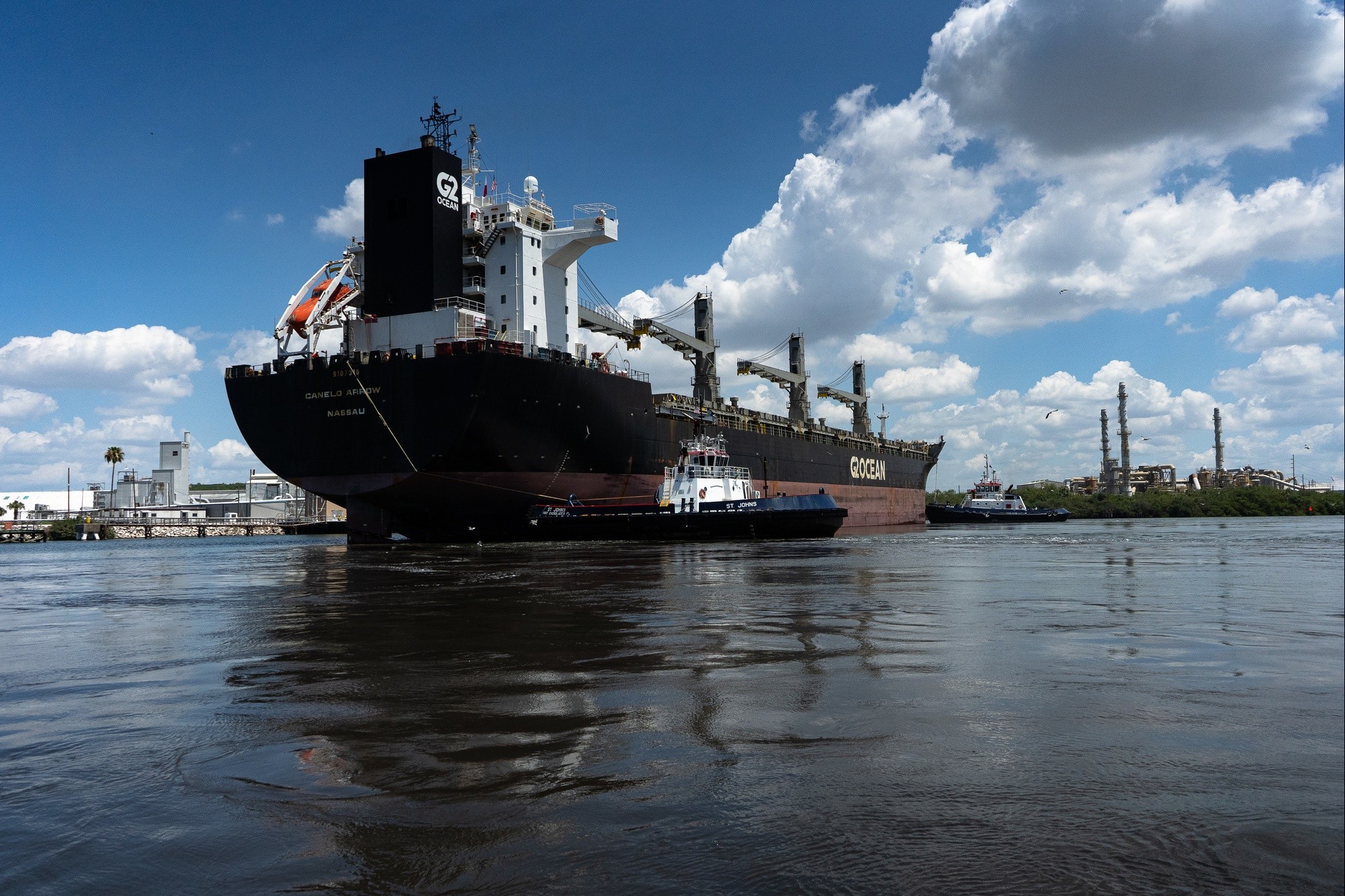
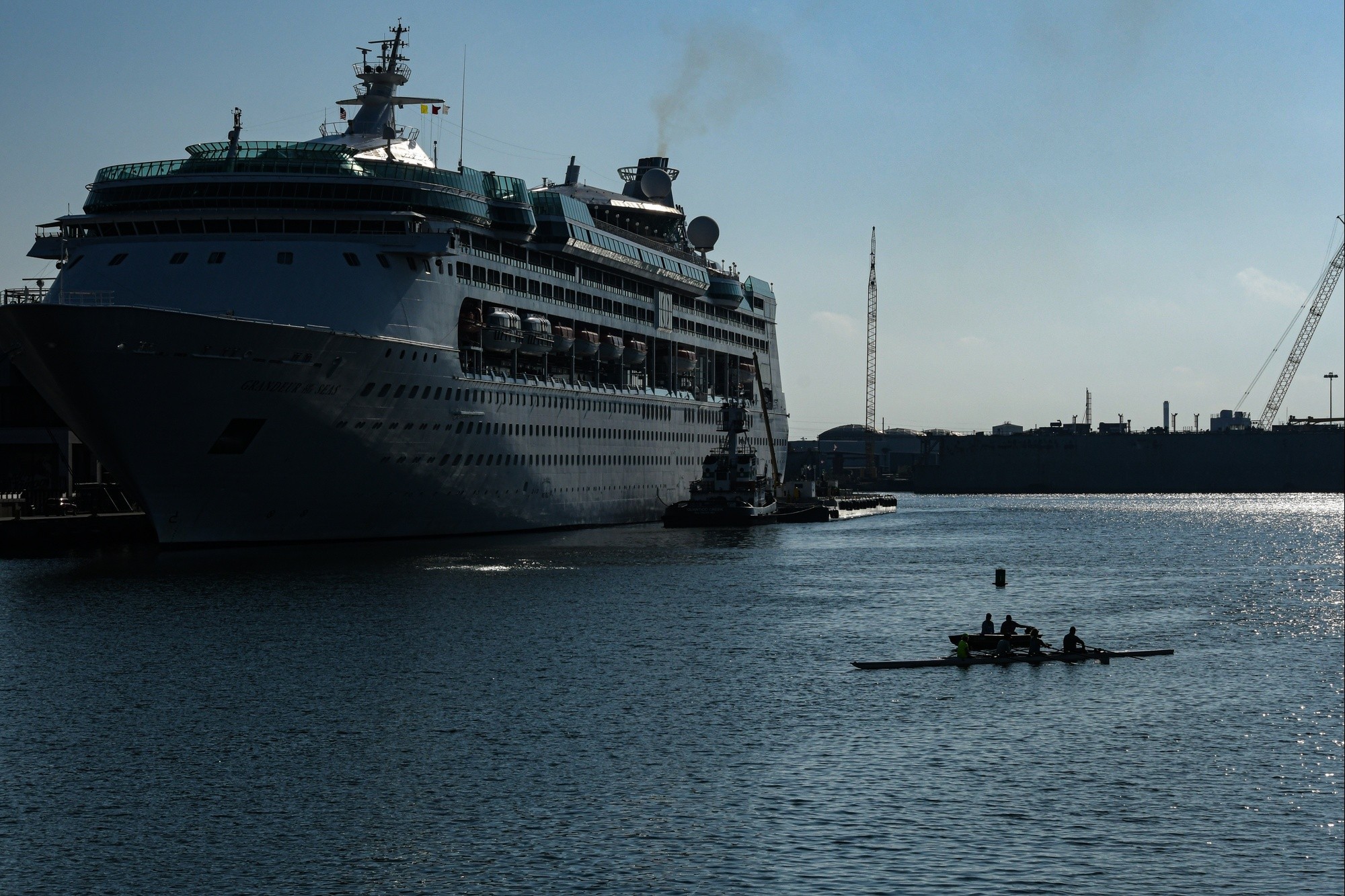
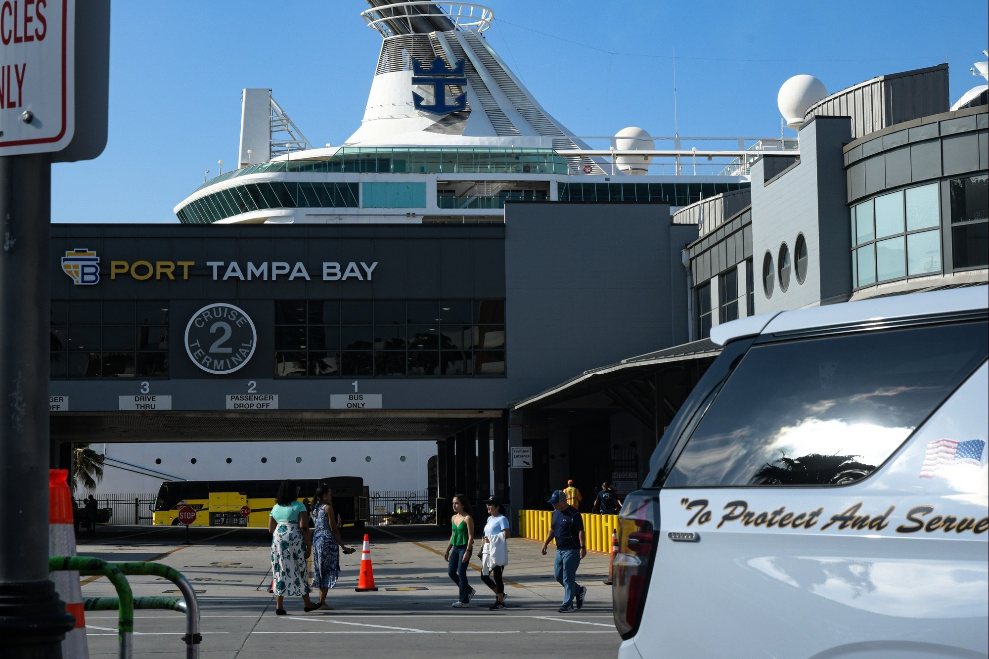
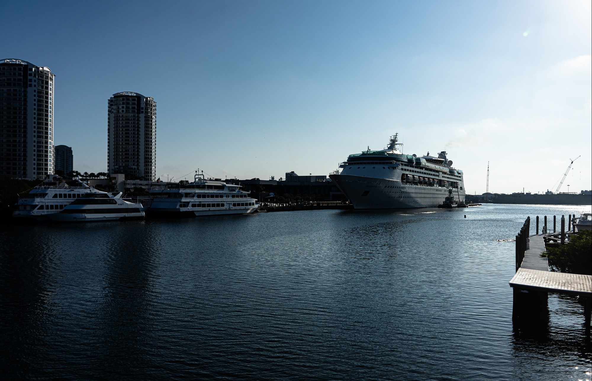
Port Tampa Bay is Florida’s largest port in cargo tonnage and land area. It serves as a major cruise port and services a diverse mix of bulk, break-bulk, container commodities, and energy products that serve central Florida. The port contributes over $17 billion in economic impact supporting more than 85,000 jobs. The Tampa Harbor Federal Navigation Channel was last deepened in 1970. (U.S. Army photo courtesy of USACE) VIEW ORIGINAL
The proposed project consists of deepening ship channels, turning basins and turn wideners throughout the harbor to allow larger vessels to efficiently access Port Tampa Bay’s terminals.
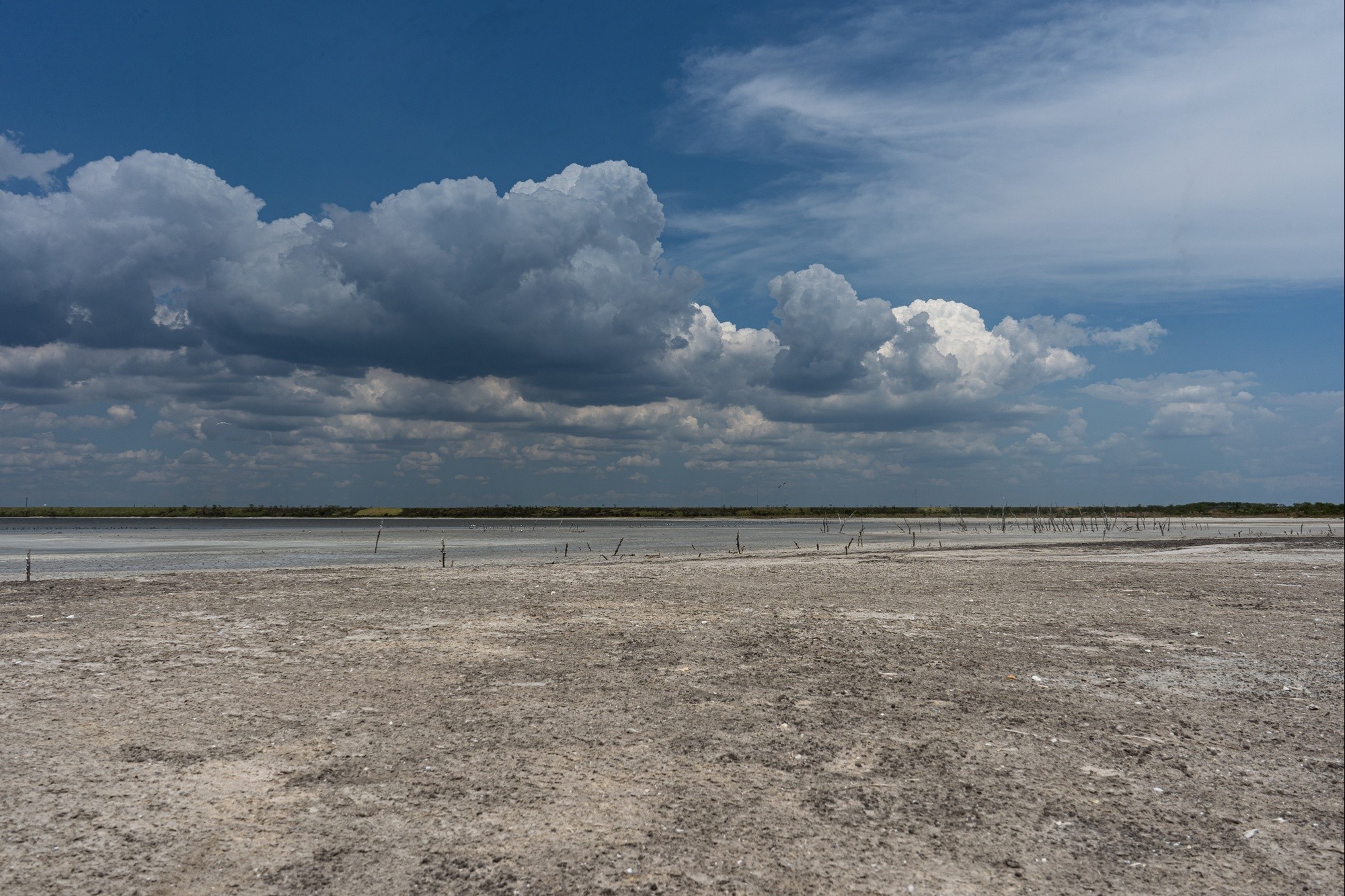
The proposed improvements would remove approximately 21.3 million cubic yards of limestone rock, sand and silt from existing federal channels. USACE has identified numerous alternatives for dredged material placement, including open water disposal at an Environmental Protection Agency designated ocean dredged material disposal site; hardbottom habitat creation; island restoration at Egmont Key and Alafia Banks; beach placement at Fort De Soto; dredged hole restoration; seagrass creation; upland placement; and fill for upland expansion projects. (Photo courtesy of Great Lakes Dredge & Dock) VIEW ORIGINAL
It’s already hot and humid on Saturday, and it’s only eight a.m. in Tampa, Florida. Channelside Drive is bumper-to-bumper traffic. Even though the temperature hasn’t changed much in the eight years since I lived there, the area has changed dramatically.
According to the U.S. Census, the population percent change from April 1, 2022, to July 1, 2022, has increased by 3.5%. Tampa is awake from its sleepy potential, and it’s evident that the demands of the port have grown as well.
I parked my car and grabbed my gear because I needed to see it for myself: traffic, families, lovers, and friends all moving to the hum of suitcases laden with vacation wear and waiting to embark on a cruise ship to some far away location. In the distance, I observed container ships and other commercial vessels hunkered in the port for the weekend.
Tampa’s rapid growth has occurred over several years, and I am not the only one that has noticed. Legislators, commercial entities, local government, federal agencies, and non-governmental agencies alike acknowledge the growth with the momentum of federal dollars and a shared cost.
The U.S. Army Corps of Engineers (USACE) and its partners are in the feasibility phase of deepening Tampa Harbor. This project will impact the area in several ways. It will stimulate economic growth, ensure safe, reliable transportation, and provide material to create preservation, conservation, and recreational projects in the region.
“Port Tampa Bay is Florida’s largest port in cargo tonnage and land area. It serves as a major cruise port and services a diverse mix of bulk, break-bulk, container commodities, and energy products that serve central Florida. The port contributes over $17 billion in economic impact supporting more than 85,000 jobs. The Tampa Harbor Federal Navigation Channel was last deepened in the 1980s.
The project itself consists of a channel from the Gulf of Mexico to port of Tampa and Tampa. Its features include the entrance channel from the Gulf of Mexico to Hillsborough Bay. At Hillsborough Bay, the channel splits into two legs, with one continuing west to Port Tampa and the other east to Gadsden Point. The west channel continues to Port Tampa and ends in a turning basin. The west channel to Gadsden Point continues north through Hillsborough Bay towards the upper channels and includes Alafia River and Big Bend. The project depth varies from 45 feet in the entrance channel at the Egmont Bar Channel to 32 feet in the Alafia River. The length of the project is about 67 miles including 3.6 miles in the Alafia River. Port Tampa Bay has more cargo tonnage than all other Florida ports combined.” (Report Summary – Tampa Harbor Navigation Improvement Study.)
I say all this so that a picture forms in your head of the scope and scale of the proposed work, as well as how much and how quickly Tampa has grown in the past several years and the future potential for continued growth in this region.
Now, ask yourself how this growth has and will impact the region’s cultural and natural resources.
Let’s first look at the area’s rich cultural history.
The Port of Tampa Bay has a rich cultural history that started with the area’s indigenous people around 3000 years ago. The location was valuable for trade and rich in natural resources.
The territory then passed through the hands of the Spanish multiple times, acquired by the British, and eventually, became part of the United States.
Fast-forward to the 19th century, when the merchants of the Tampa Bay area lobbied for federal support to deepen the harbor’s channels. In 1905, the U.S. Congress authorized the U.S. Army Corps of Engineers to dredge the channel to a depth of 20-feet.
This was the first recorded dredging by USACE and the first time local, state, federal, and private industry worked together to build the Port of Tampa Bay.
“The U.S. Army Corps of Engineers works with their local, state, federal, and nongovernmental partners to realize projects that deliver the most economically progressive outcomes within cultural and environmental guidelines. We leverage strategies within our projects that aim to create adaptable and sustainable systems,” says USACE Ecologist and Navigation Team Lead, Aubree Hershorin, –
Projects like the deepening of Tampa Harbor go through a rigorous planning process and before they can be authorized. The process includes five distinct phases:
1. Scoping,
2. Alternative Formulation and Analysis,
3. a Feasibility -Level analysis,
4. Final Report Release- State and Agency Review, and
5. The Chiefs Report.
USACE also implements a six-step planning process in the following order:
1. Identify problems, opportunities, objectives, constraints,
2. Inventory and forecast conditions,
3. Formulate alternative plans,
4. Evaluate alternative plans,
5. Compare alternative plans, and
6. Select a plan.
Fact Sheet: Tampa Harbor Federal Navigation Improvement Study (oclc.org)
Let us remember the Principles and Guidelines identified in the Water Resources Act 1986 that established four accounts for evaluating alternatives: the National Economic Development account, the Regional Economic Development account, Other Social Effects, and Environmental Quality. Benefits derived from all four of these accounts are considered when choosing a plan.
There are meetings with partners and stakeholders, discussions with the public, and the opportunity for the public to comment on the project, all before a single grain of sediment is placed.
These processes are our way of tackling challenging questions and finding solutions that provide a positive impact. Past projects have helped the USACE and its partners discover how dredge material is a valuable resource and how it can be repurposed.
The deepening of the channel will result in the dredging of an estimated amount of up to 23-million cubic yards, equivalent to 7,034 Olympic swimming pools filled with sediment Now that’s a lot of material!
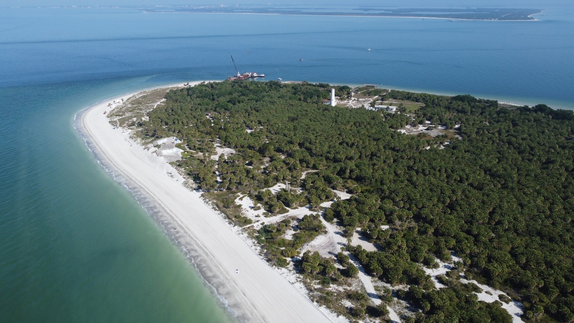
“Knowing the potential amount and type of sediment helps the team determine the placement site and its benefits to that particular site. For example, some of the study’s sediment may be used to restore Egmont Key. The restoration of the island will benefit shorebird and sea turtle habitat.” Says Hershorin
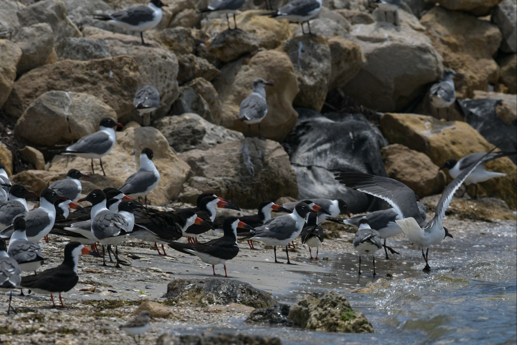
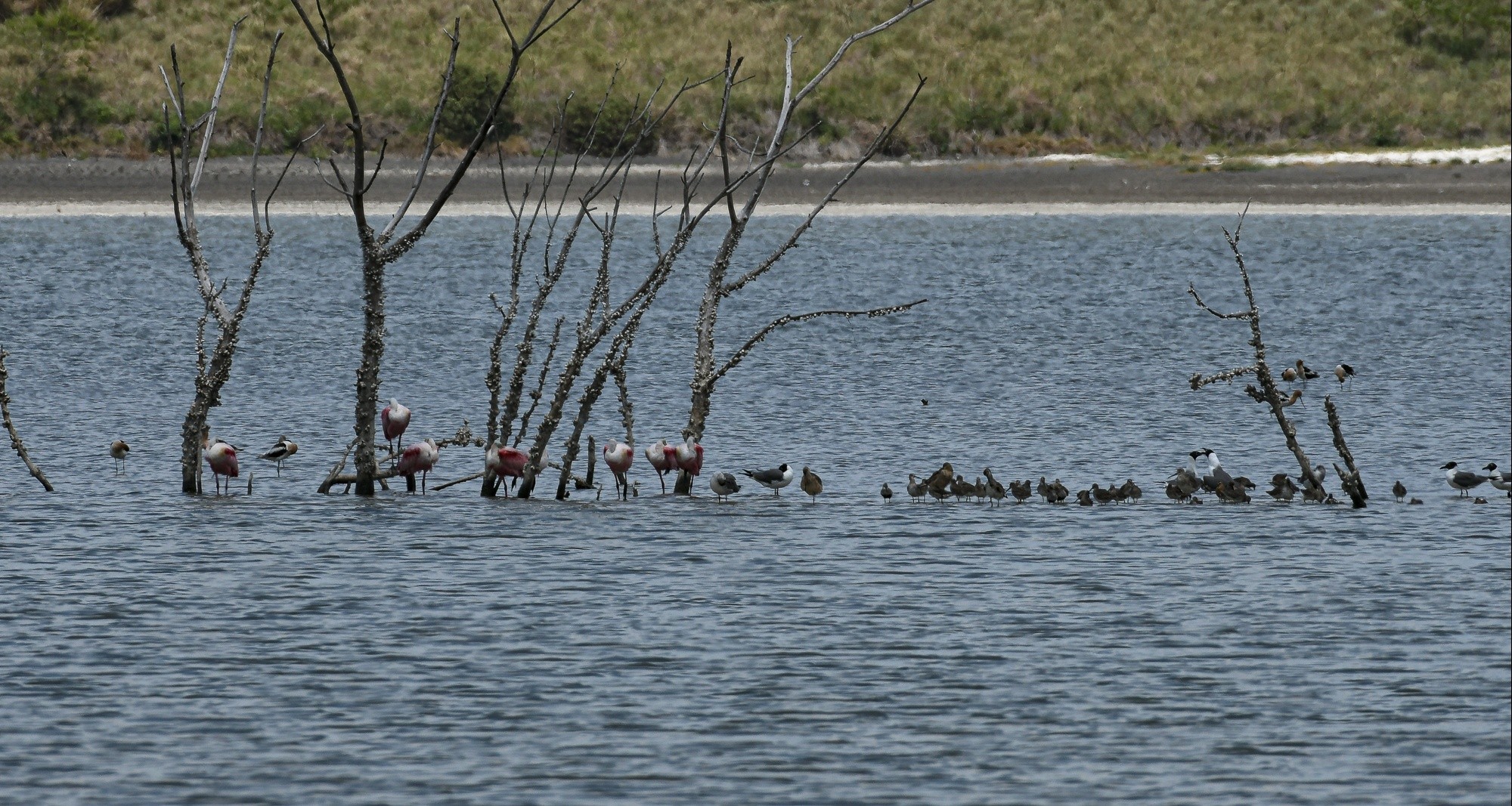
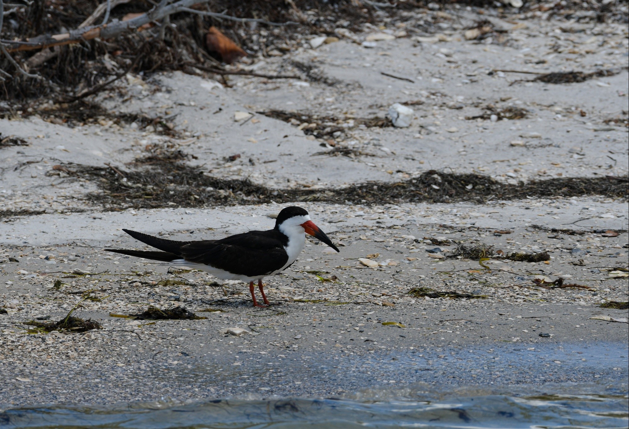
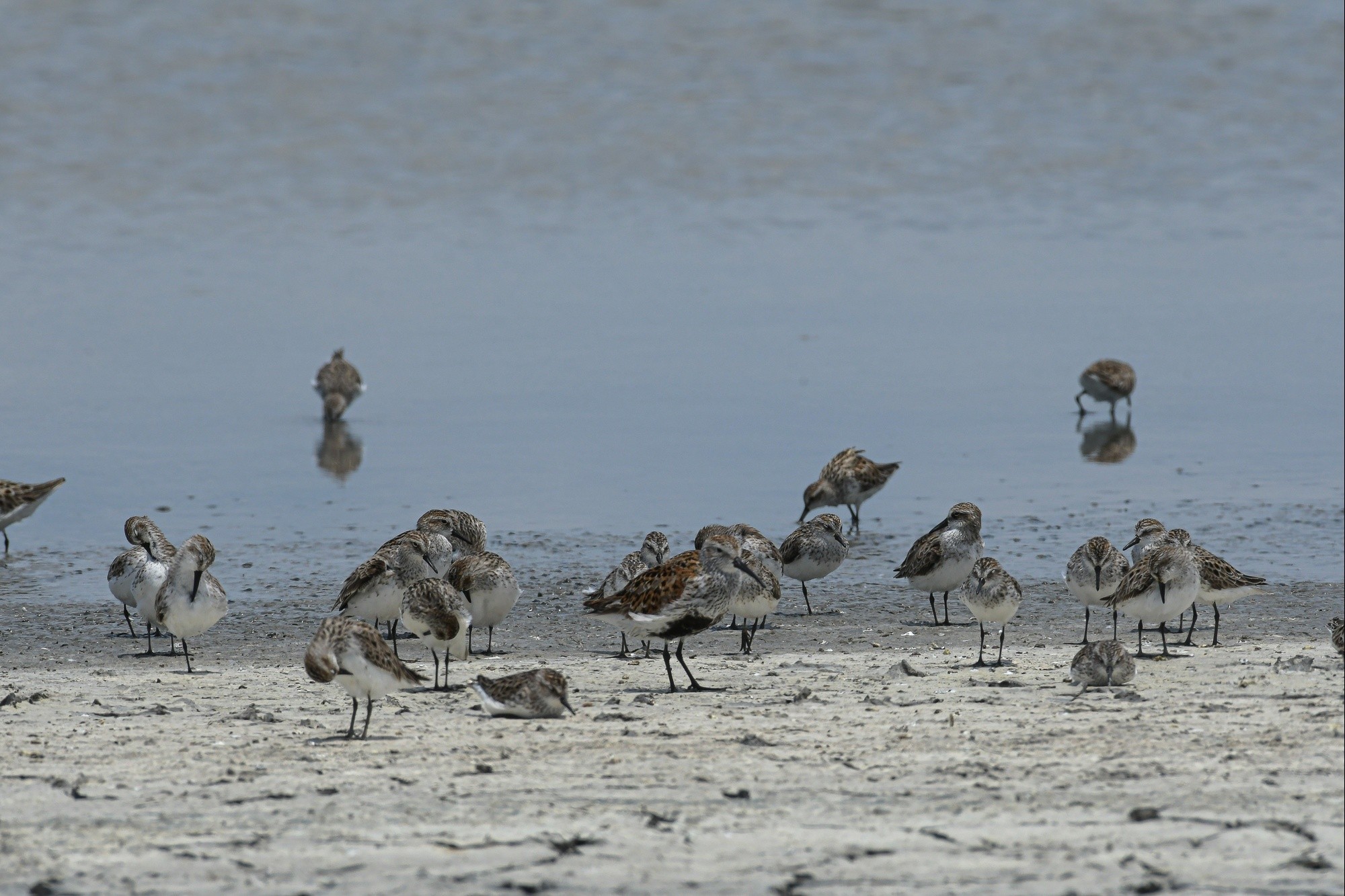
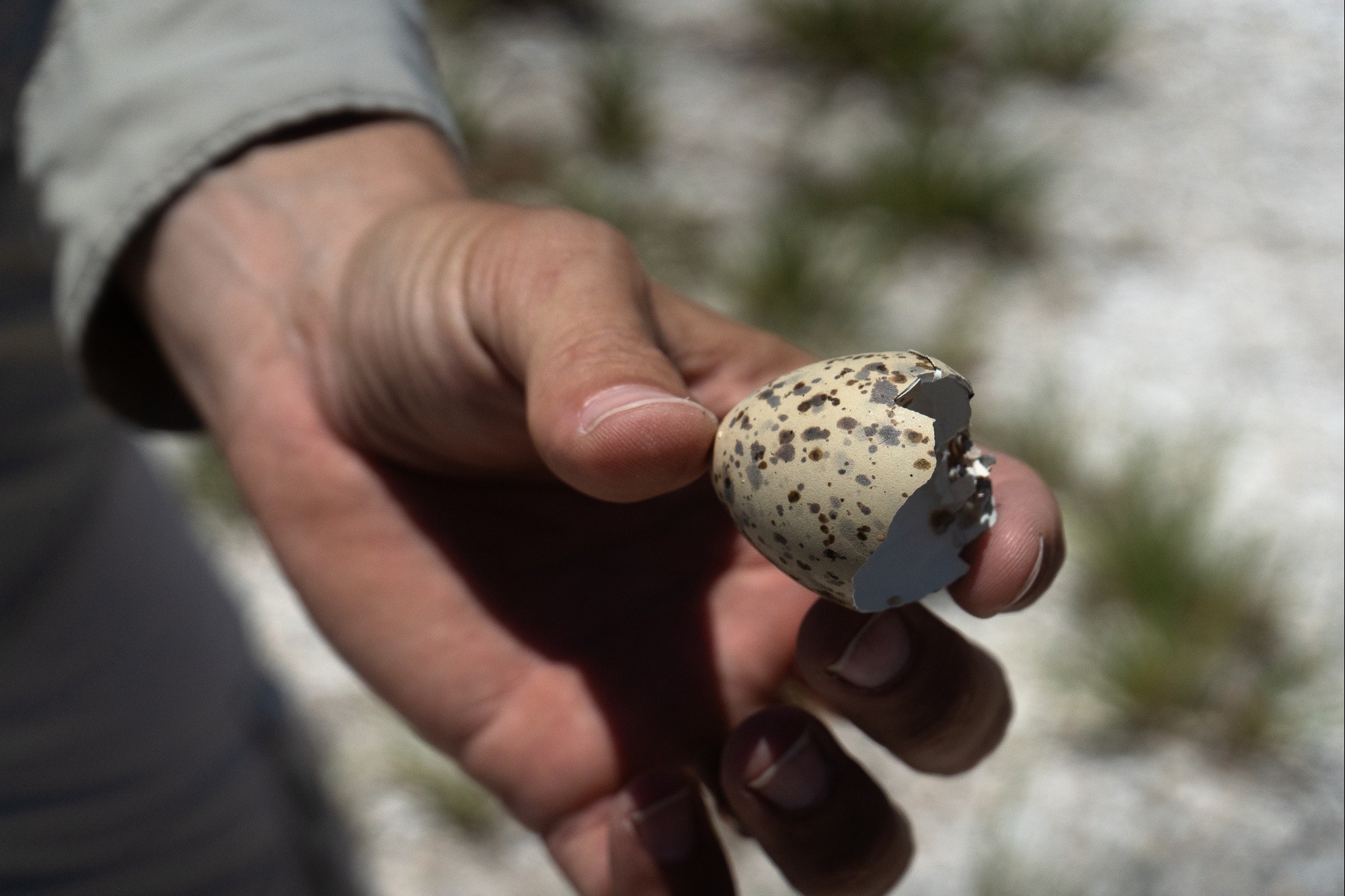
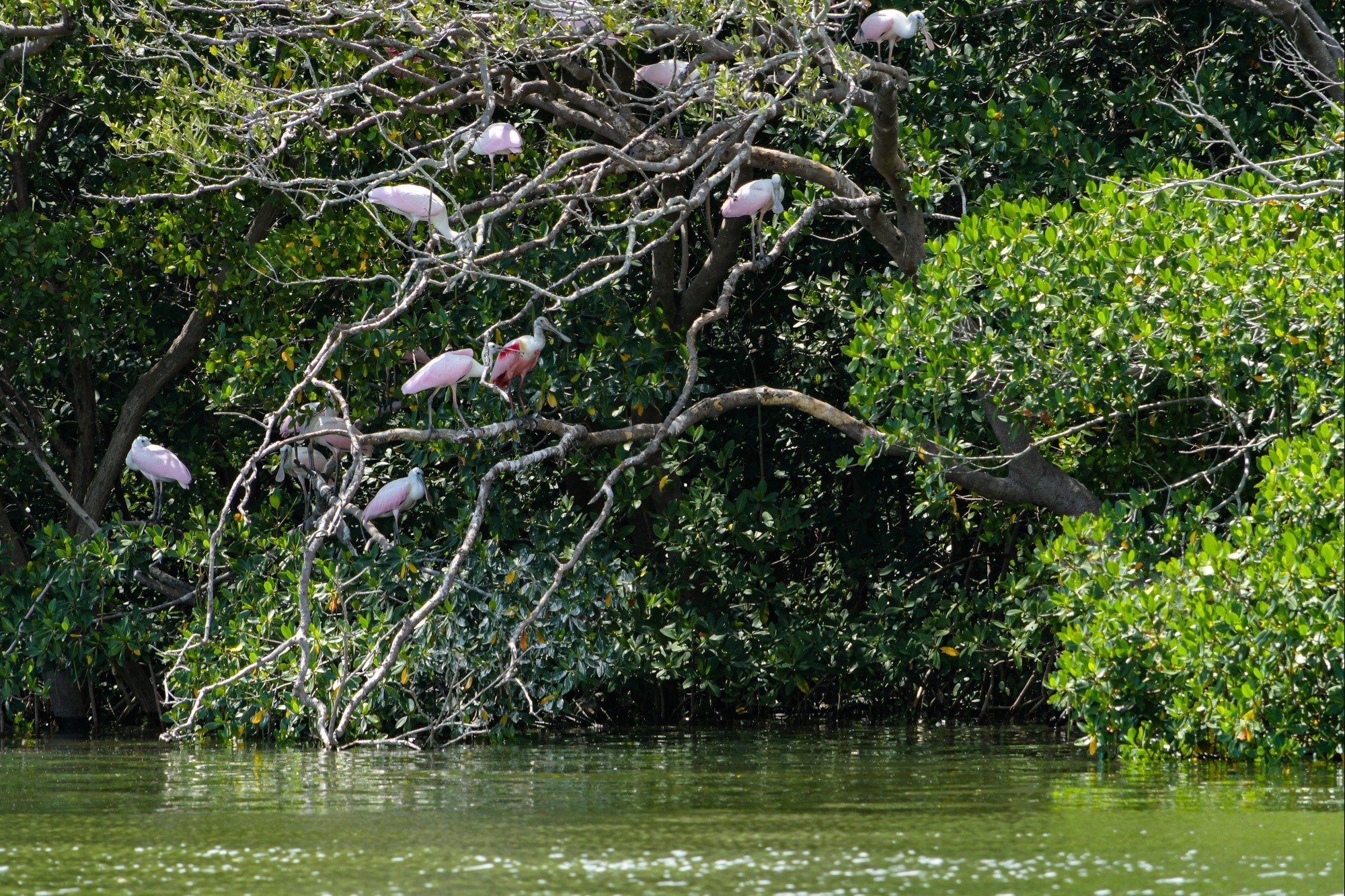
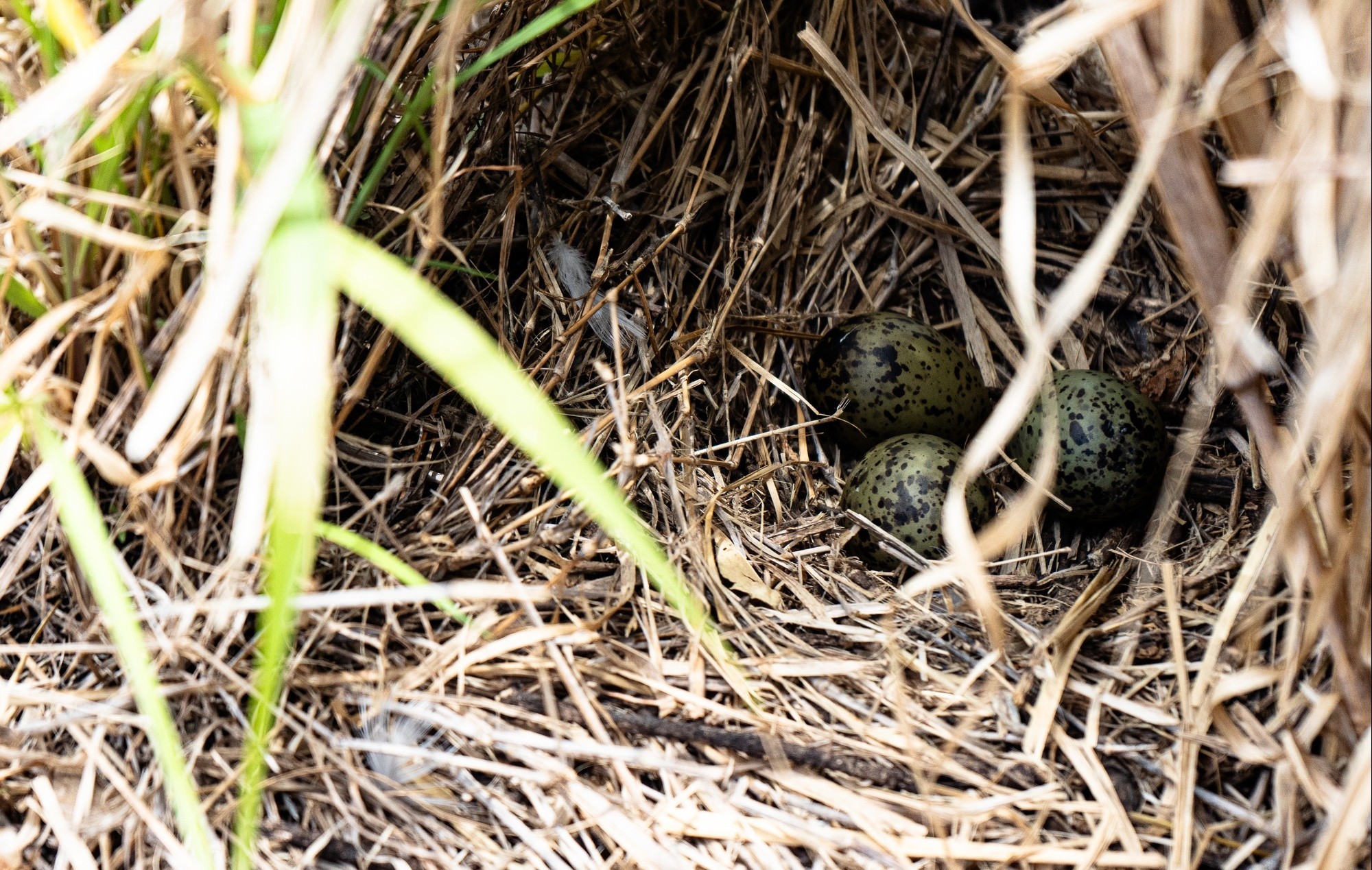
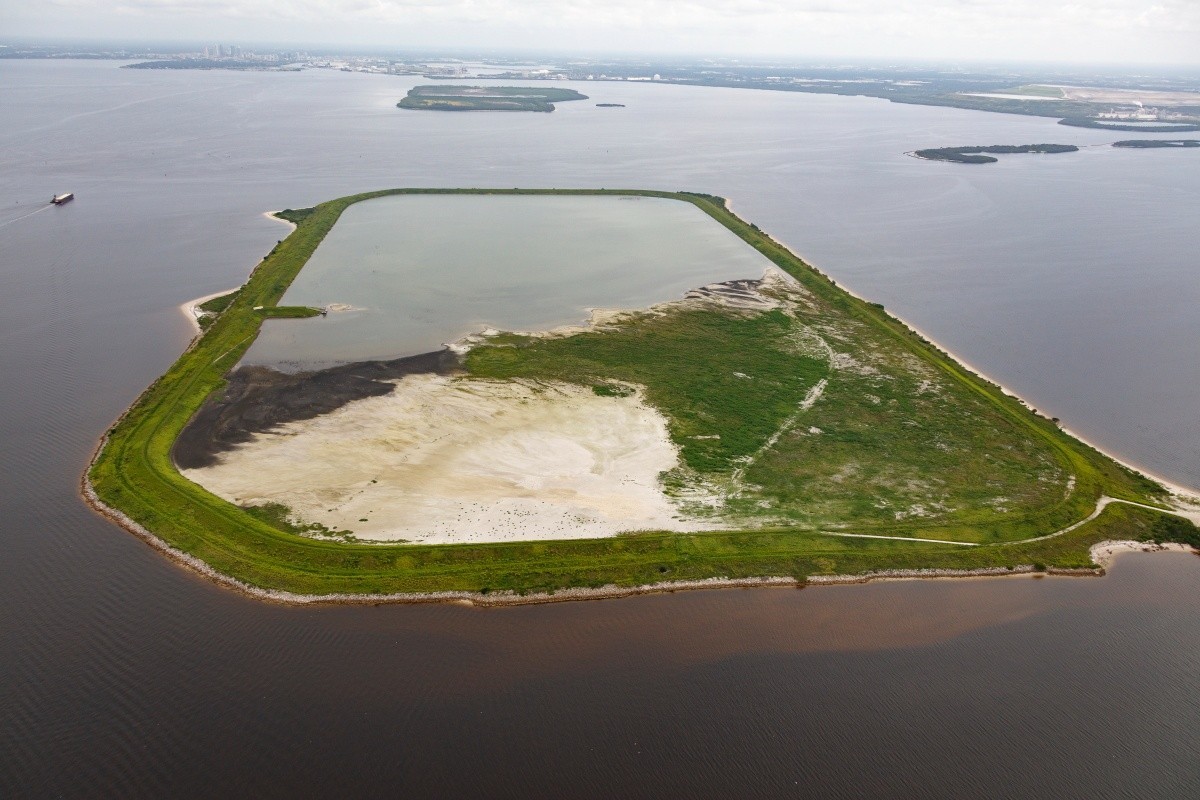
One unintended benefit of using dredged material at Dredge Material Management Areas (DMMA) 2-D and 3-D is the valuable shorebird habitat they provide. The Jacksonville District built the sites between 1978 and 1982 while deepening Tampa Harbor to 43 feet. The islands have provided the Port of Tampa Bay and USACE with places to store dredge material. Dependent on dredge material cycles on either island, it also provides habit for shorebird populations to flourish that is protected from human disturbances.
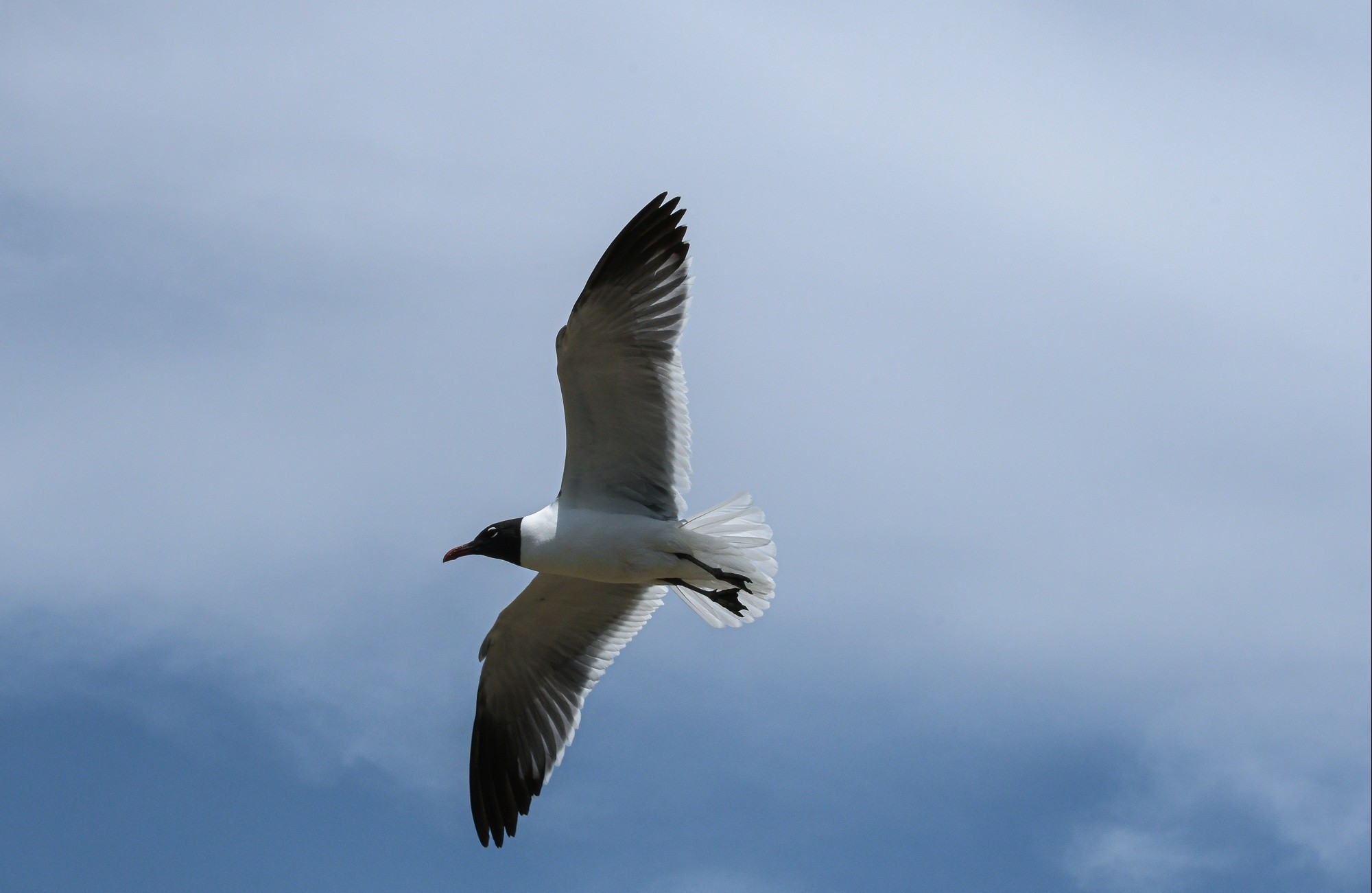
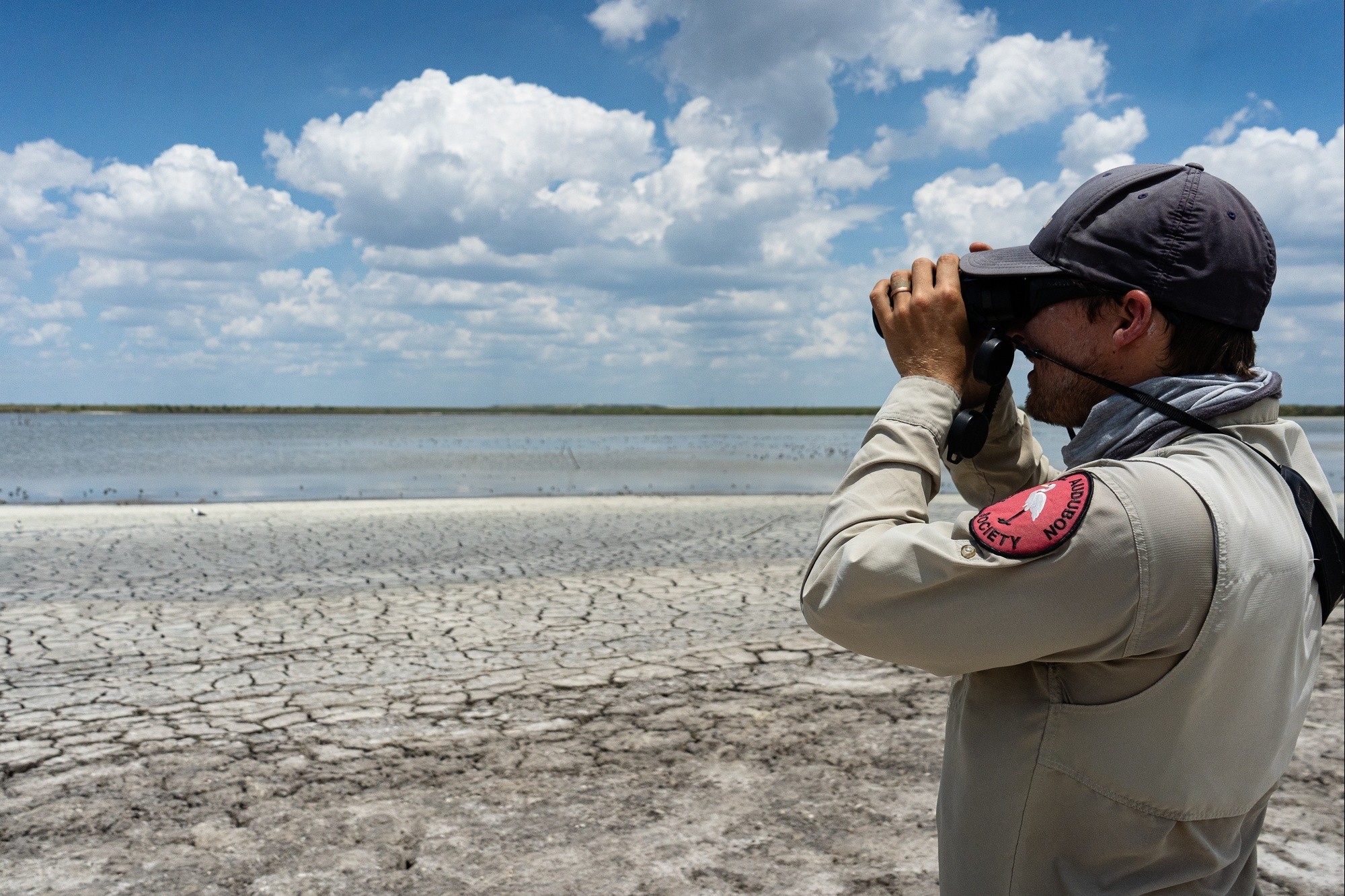
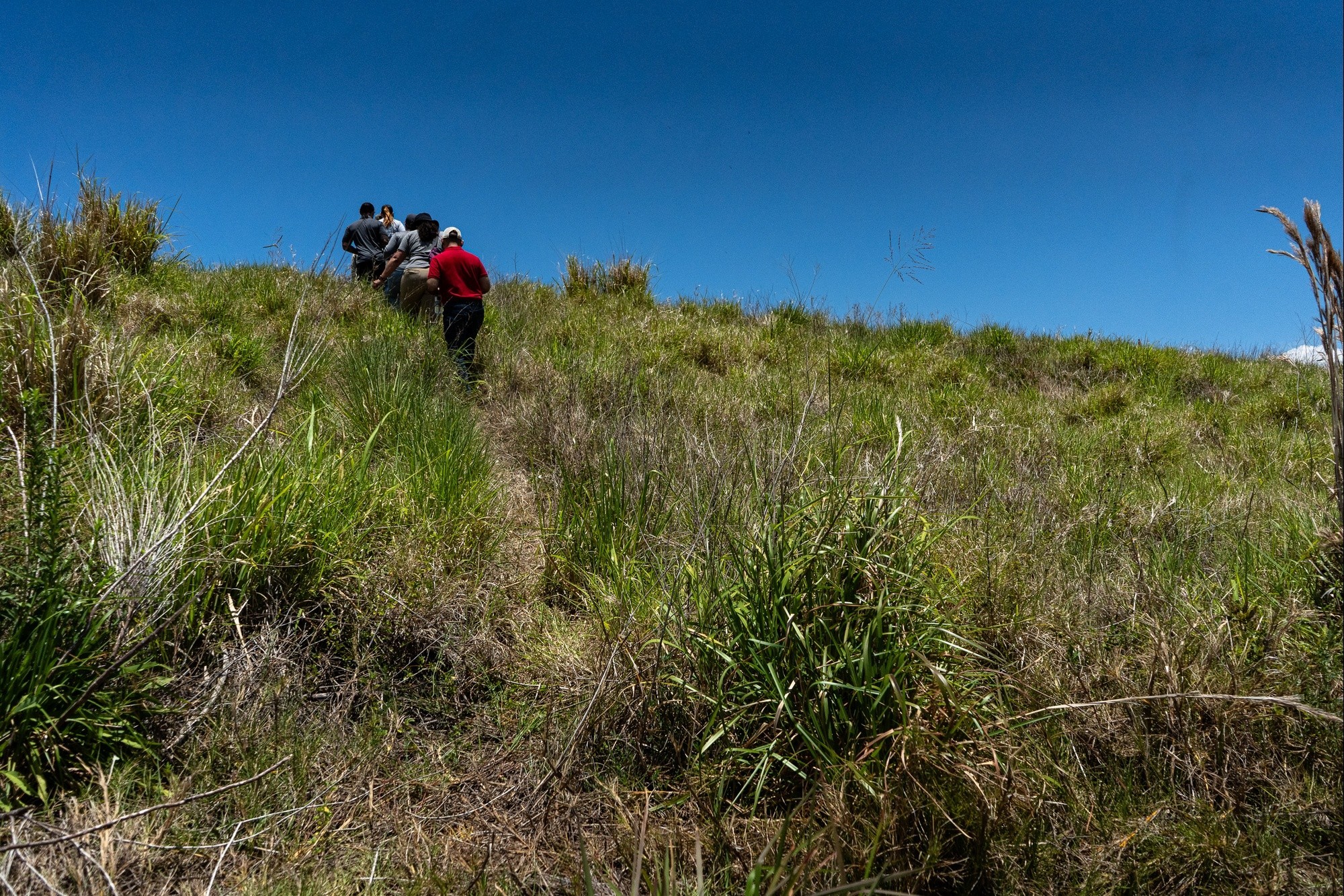
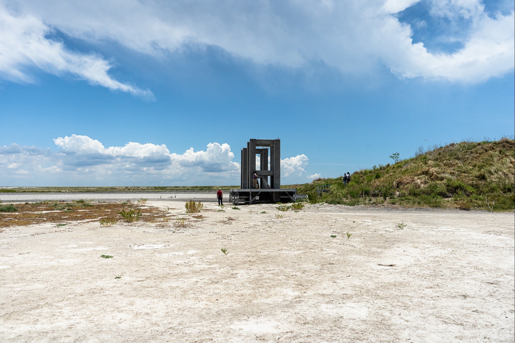
A small team of engineers apply sunscreen, put on life vests, and gather their backpacks to board a small craft provided by our partners, the National Audubon Society. The captain of the vessel, Jeff Liechty, is also a National Audubon coastal biologist at Florida Coastal Sanctuaries and our guide through the site. At high noon, the crew took off from the boat dock across the Bay and made their way to DMMA 3-D. Along the way, I could see how prolific the bird population is: pelicans, roseate spoonbills, and oystercatchers are just a few of the many bird species that have found a haven on the resource-rich island .
Upon reaching the island, birds lined the shore and circled in the air above. As we carefully navigated our way up the hill to inspect the site following Liechty’s path, nestling birds were tucked away in their hiding spots nearby.
Liechty says that Audubon, USACE, and the Port of Tampa Bay have maintained a longstanding partnership. The collaboration serves the dual purpose of efficiently managing dredged material to ensure efficient navigation depths for vessels accessing the port, while simultaneously providing bird habitat.
“DMMA 3-D island is a special place in the bay. It provides a variety of habitats including uplands for nesting, interior lagoons, and foraging areas. The island also provides refuge from the disturbances found on our beaches,“ Liechty emphasized.
Because of collaborative efforts between USACE, Audubon, Port Tampa Bay, and the partners that are part of the Tampa Bay Migratory Bird Protection Committee, biologists and volunteers have been able to monitor and collect data on the birds that use DMMA 3-D.
Liechty says tens of thousands of birds come to the island throughout the year.
As USACE and its partners work through the improvement study, they have many factors to consider. There are adverse and beneficial effects on cultural and natural resources. There’s sea level rise, wind, tidal changes, boat wakes, and the weight and depth of cargo and cruise ships. The variables that this team must consider and work through are numerous.
Armed with data collected over time, an information-rich report, an environmental impact statement, and a steady movement to incorporate nature-based solutions, the Tampa Harbor Navigation Improvement Study makes its way through the processes needed to make the best decisions not only for this moment but for the next 50 years. Right now, the team has reached the Tentatively Selected Plan (TSP) milestone.
Since you, the reader, made it this far, you might wonder if there are adverse impacts that could result from this type of project such as increased boat traffic, the disruption of the wildlife population and recreational activities. Why not leave the channel the way it is? What is the cost of doing nothing? The reason is that Tampa is growing and the demand for goods by consumers is still going strong by any means, whether improvements to the infrastructure take place or not.
According to Mckinsey & Company’s article, “The Consumer sector in 2030: Trends and questions to consider”, Dec.1, 2015, “Globally,middle-class spending will almost triple by 2030 and that more than 75 percent of the world’s population will own a mobile phone .”
Not moving forward and planning for a sustainable future leaves the area and its resources at risk.
Hershorin says, “This plan is unique. While some of the dredging components of the Tentatively Selected Plan are traditional, we were able to incorporate smarter methods for deepening while avoiding impacts to hardbottom environment and opportunities for beneficially using the dredged materials to create numerous types of habitat in several locations in Tampa Bay.”
The Tampa Harbor Navigation Improvement Study aligns itself with a nature-based approach in that it will reduce our environmental footprint by enhancing sustainability, conserving fuel, and repurposing precious resources. USACE is moving toward delivering economic, environmental, and social benefits through collaboration with our local, state and federal partners.
The cost of investing in our future and the channel’s future is priceless.
Many Thanks to: Aubree Hershorin, Bryan Merrill, Graceann Sparkman, and Jon Simon Suarez
Social Sharing