
FORT BRAGG, N.C. — While studying a 1922 map overlay of Fort Bragg and its land, a puzzling discovery was made — a structure near Lamont’s Bridge was labeled as “Haunted House,” the only instance of this members of the Fort Bragg Cultural Resources Management Program, or CRMP, had ever seen.
Why would an abandoned structure still standing in 1922 be named as such, and is there more to the story of this haunted house?
A spooky ghost story just in time for the Halloween this is not. However, the tale of the mysterious discovery and how archeologists pieced together the history of the structure and its former owners, is fascinating.
Fort Bragg has over 6,000 archaeological sites recorded on its 160,000 acres of land. Part of what is known as the North Carolina Sandhills, the land has been a research topic for archaeologists and cultural resources managers due to its unique geographical features and settlement history.
With the discovery of the unusual labeling on this particular map, research began on the John Lamont site — named after the land's previous owner — to understand the cultural context of small rural farmsteads that were purchased by the military in 1918 for the formation of Camp Bragg, as it was known at the time. Prior to this discovery, the only tangible remains of the Lamont legacy were the place names of Lamont Road, now a major road that runs through the military installation and Lamont Springs, a spring on the north side of the nearby Lower Little River.

According to the Cumberland County Deed Book 55, in 1859, John Lamont purchased the 525-acre tract of land where the house was located for $800 and described it as “lying and situated in Cumberland County on the Lower Little River…”
The river served as the northern boundary for the military installation since its beginning in 1918 until in 1997 when Fort Bragg decided to expand its training land. Around 10,000 acres were purchased from the Rockefeller heirs and another 20,000 acres from the Weyerhaeuser Paper Company. After reviewing the 1997 surveys taken of the land for all viable cultural resources, including the small house site, the CRMP team decided to dig further into the history of the location.
“The excavations and research revealed it was the home/country estate of John Lamont, a Scotsman, and his wife Anne who moved here from Islay, Scotland,” explained Dr. Linda Carnes-McNaughton, Fort Bragg’s program archaeologist and curator. “He died there, and we suspect his widow died there as well, but no graves were ever located. We have a few other possible reasons why the house is labeled haunted on this 1922 map.”
Searching through county census and importation records, mortality files and estate documents gave a small peek into the lives of the Lamont Family. An 1850 Cumberland County Census listed John Lamont as the “Superintendent of the Poor House” in the Fayetteville District. He was 41 years old and listed Scotland as his birthplace.
In addition to his family, 35 names are listed as occupants of the Poor House, which was located closer to town and funded by the county. John appears to have developed consumption, another name for tuberculosis, and later relocated to this house along the river, where he also built a toll bridge across the river.

John Lamont’s daughter and her husband are both buried in the graveyard at the Long Street Presbyterian Church nearby. The burial locations of John and his wife Ann have not been found. If they were buried on his land, the grave markers have either rotted or been lost — adding to the mystery surrounding the words haunted house within the boundaries of Fort Bragg.
One could imagine the challenges and wonders that can be found on military training lands, especially lands that hold so much history of not only military training but for early Sandhills settlers. Fort Bragg might have been established in 1918, but many significant events happened prior to the installation’s beginning — to include sites where Revolutionary and Civil War battles took place on and around its boundaries.
In the Spring 2014 edition of The Argyll Colony Plus — the journal of the North Carolina Scottish Heritage Society — titled "From the Poor House to the Haunted House: Archaeological Research of the John Lamont House Site," Carnes-McNaughton wrote that on day three of the excavations work was “almost immediately abandoned when a pineapple-shaped metal orb was struck by a volunteer’s metal trowel. An archaeologist, recognizing it as a military grenade, cleared the site and called Fort Bragg’s Explosives Ordinance Disposal.” With the volunteers at a safe distance, the EOD team was able to identify the WWII training grenade and safely dispose of it, clearing the site for digging once more.
Many artifacts were found in the week-long excavation to include pieces of pottery, glass and dish remnants, clothing fasteners, coins, pipes, and livestock equipment particles. These all provided a small glimpse into the lives of the Lamonts – their lifestyle, their hobbies, and their professions.
Some of the pieces found were connected to the later property owners, the Rockefellers who owned the land for 100 years and used it primarily for hunting and outdoor recreations. Referring back to The Argyll Colony Plus article, Carnes-McNaughton wrote, “the fact that the house stood until the 1920s suggests that its owners died off or moved away, but maintained ownership until the tract was purchased by the Rockefellers.”
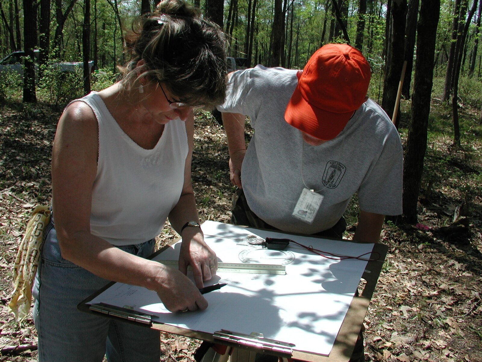
site, April 2004. While studying a 1922 map overlay of Fort Bragg and its land, a mysterious discovery was made – a structure near Lamont’s Bridge was labeled as “Haunted House,” the only instance of this labeling that the Fort Bragg Cultural Resources had ever seen. (All Courtesy Photos from Cultural Resource Management Program) VIEW ORIGINAL
The house structure was still standing but was likely empty when it appeared on the 1922 Overhills Estate Map labeled “haunted house.” There could be several reasons why it might have been labeled as such and could be something as simple as the owners died there and/or were buried on the land. However, the lack of evidence suggests that the grave markers could have been lost or rotted.
“We have a few other possible reasons why the house is labeled haunted on this 1922 map,” explained Carnes-McNaughton. “One related to the natural spring located at the site and its use for illegal distilling of liquor.”
The full Lamont story and the words used to label the map remain a mystery as research continues on the site through archaeological, historical and family sources focusing on John Lamont, his widow Ann, his neighbors and the surrounding community.
Of course, it’s probably just folklore that was forever recorded in history to deter onlookers of illegal activity deep in the woods of the Lamont Homestead. But maybe, just maybe, the area was labeled haunted due to strange and unusual activity experienced or witnessed by locals and warned to stay away. Maybe the spirits of John or Ann Lamont linger and haunt the land that was once theirs. Or maybe the spirits of the afflicted occupants of the Poor House are searching for their long, lost superintendent. One may never know.
Editor’s Note: Information was provided by Fort Bragg’s Cultural Resources Program and from the Spring 2014 edition of The Argyll Colony Plus, ‘From the Poor House to the Haunted House: Archaeological Research of the John Lamont House Site,’ by Dr. Linda Carnes-McNaughton, Fort Bragg’s program archaeologist and curator.
Social Sharing