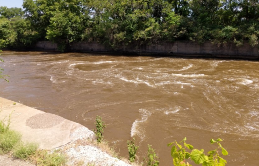
A wing dam works by constricting the flow of the river, especially in low water, forcing the available water into one narrow channel. This increases the current and volume of water and helps to scour the bottom. In the words of river pilots, wing dams "stop the leaks." The wing dam off Rock Island Arsenal was part of the river navigation improvement efforts during the early stages of the channel improvement. This was during the efforts to ensure a 4 1/2 foot channel was present for the entire length of the river.
History
The wing dam located at Rock Island Arsenal is a key river feature that spans greatly upstream in the Mississippi River and ends near the foot of Campbell's Island. The original piece of the wing dam was constructed by David B. Sears during the time that his mill was functioning on the island.
The need for such a dam was established in 1841 when a board selected by the Secretary of War examined the state of the rapids at Rock Island:
"It has already been observed that the entire head and fall at the island, or the aggregate descent from the surface water of the dam to the low-water surface at the foot of the rapids, is seven feet, nearly. To this fall it is proposed to add the descent from the head of Campbell's Island to the head of Rock Island (Arsenal), which is six and a half feet more; making the aggregate fall, from the head of Campbell's Island to the foot of Rock Island, thirteen and a half feet.
The method of uniting these two falls, and bringing them into conjoint operation on Rock Island, consists in the erection of a river-wall or dam, extending upward from the head of Rock Island, parallel, or nearly so, to the Illinois shore, till it reaches the foot of Campbell's Island -- the distance between the two islands, and consequently the extent of the wall, being three miles and three-quarters."
The resulting dam would be situated nearly 2 feet above low water levels. This improved navigation on the river near the rapids allowed riverboat traffic to continue unimpeded through the area. This was further enhanced when the river was dredged.
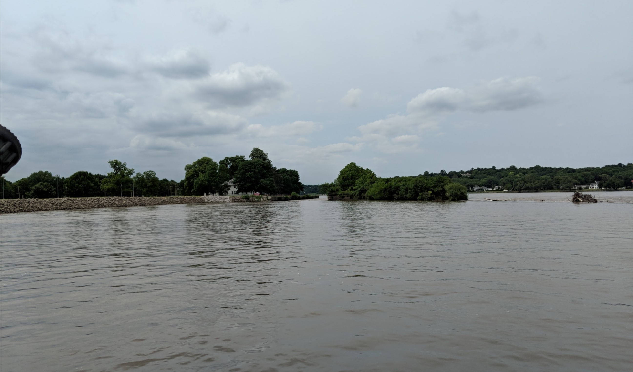
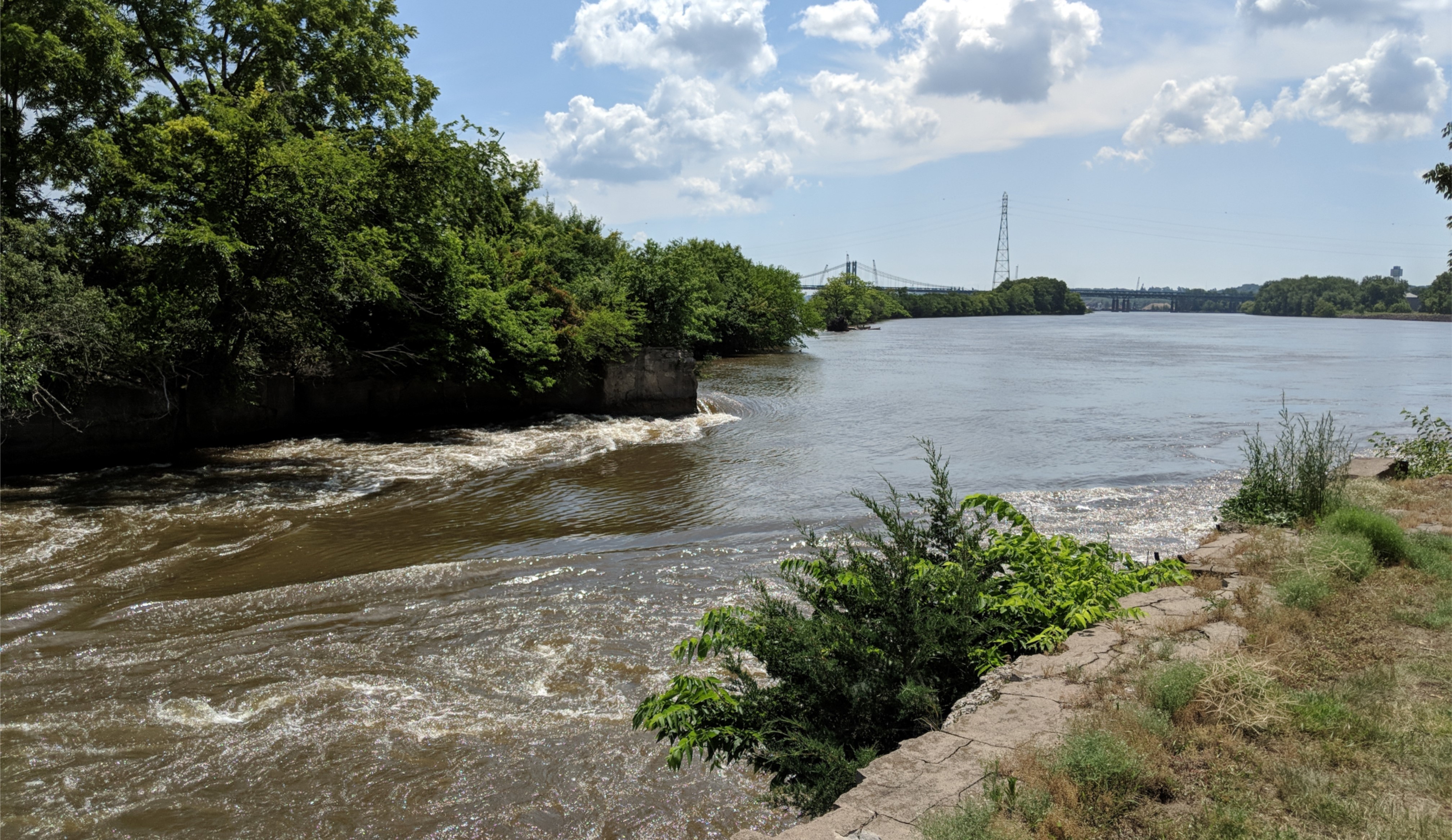
Today, the above-water view of the wing dam can be seen from the original site of Benham's Island to just north of Interstate 74 on the Illinois side of the river. The dam there sits just beneath the water level and can be noticed at the surface about half-way to Campbell's Island, approximately near where the Celebration Belle docks in Illinois. A few artificial rock points exist between this location and Campbell's Island, which are the only remaining surface features of the dam beyond this point.
Social Sharing