The McClellan-Kerr Arkansas River Navigation System

By Jay TownsendDecember 11, 2018

Arkansas River Navigation
1 / 2 Show Caption + Hide Caption – The McClellan-Kerr Arkansas River Navigation System averages 12 million tons of commodities shipments annually. Based on prices obtained from Institute for Water Resources and the National Agricultural Statistics Service/USDA, the value of these comm... (Photo Credit: U.S. Army) VIEW ORIGINAL
Arkansas River Navigation
2 / 2 Show Caption + Hide Caption – The McClellan-Kerr Arkansas River Navigation System averages 12 million tons of commodities shipments annually. Based on prices obtained from Institute for Water Resources and the National Agricultural Statistics Service/USDA, the value of these comm... (Photo Credit: U.S. Army) VIEW ORIGINAL

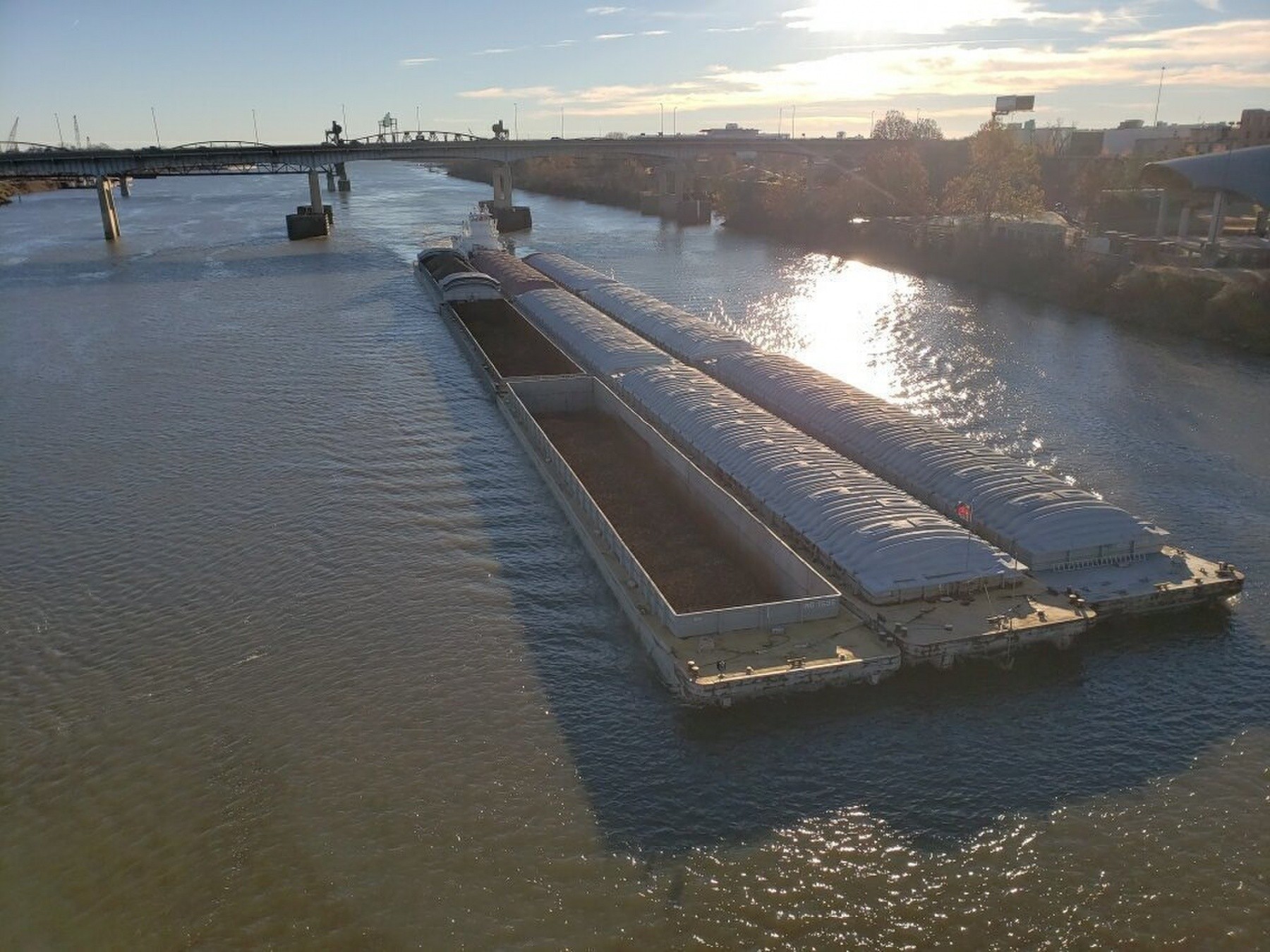
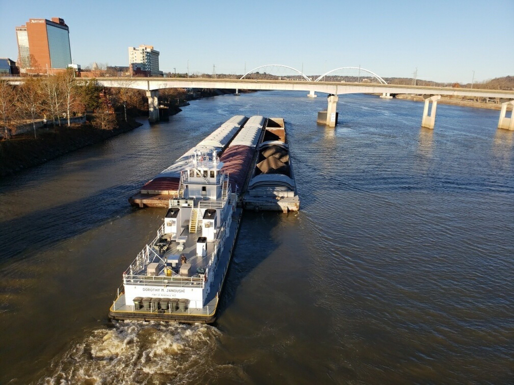
The 445-mile navigation channel begins at the confluence of the White and Mississippi Rivers and proceeds one-half mile upstream on the White River to the Montgomery Point Lock and Dam. From there the channel proceeds nine miles upstream on the White River to the man made Arkansas Post Canal, and then nine miles through the canal to the Arkansas River. The McClellan-Kerr Arkansas River Navigation System crosses the state of Arkansas into Oklahoma traversing the state until it reaches the confluence of the Arkansas and Verdigris River where the navigation channel follows the Verdigris River terminating fifty-one miles upstream at the Port of Catoosa, near Tulsa, Oklahoma.