A road map to freedom was born when swishes of blue arrows drew liberty's march on the brown terrain of Iraq.
Academia around the world now can see a visualization of the opening days of that march thanks to the efforts of the U.S. Military Academy's Dept. of History.
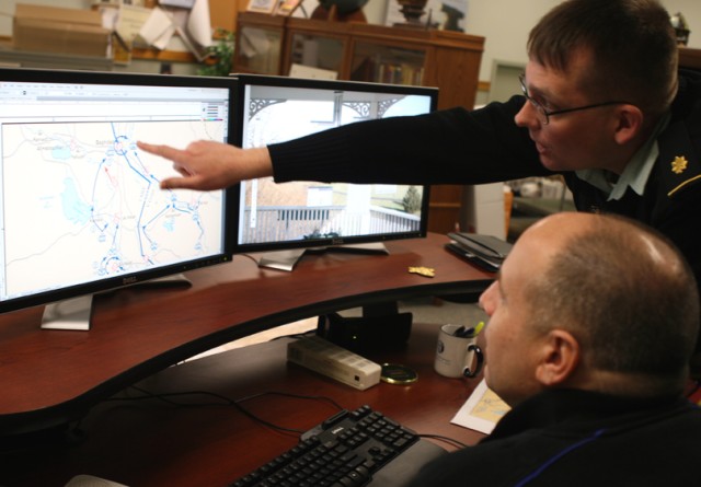
Maj. Tom Rider, a USMA history instructor, and Frank Martini, USMA cartographer, have been tasked with creating a set of maps illustrating the Iraq war.
Plans are underway to create maps outlining the Afghanistan war, too.
To make the maps, Rider studied the opening campaign of the Iraq war for weeks.
He checked and rechecked each unit's location and movements. He noted the actions of thousands of Soldiers.
Rider then took his research and developed story boards.
"It was difficult narrowing it down," Rider said. "If you make a map with too much on it, it's confusing and doesn't tell you any more than having too little on it. There was a lot of thought process in choosing what to include. Hundreds of events happen in a week. History is fact, but it's also interpretation of fact."
Once events were narrowed down into a story board, Martini turned Rider's text into map symbols.
He drew unit locations and movements on top of what he called a base map, a map of Iraq containing major cities, borders and rivers he obtained from a government agency.
Two Iraq war maps have been completed that tell the story of events that occurred March 20-April 7, 2003.
Map readers can see the progress of the 3rd Infantry Division; 101st Airborne Division; 2nd Brigade, 82nd Airborne Division; 1st Regimental Combat Team, 1st Marine Division; and 1st British Armored Division against the Iraqi 51st Mechanized Infantry Division of Saddam Hussein's regime.
Rider thinks a total of 10 Iraq war maps will be completed, but "it all depends on where the research takes me," he said.
The Dept. of History's Center for Cartographic Excellence has been producing atlases at least since the 1950s, Martini said. More than 1,000 maps have been created to illustrate the Crusades, Revolutionary War, Napoleonic Wars, War of 1812, Civil War, both World Wars, Korean War, Vietnam War, ancient warfare and other conflicts.
A need for Iraq and Afghanistan war maps has existed for a long time, Martini said.
"It is exciting to put the maps together because we have had a lot of requests for (Iraq war maps), but they've never been done before," Martini said, adding that requests have come from around the world.
The two Iraq war maps, as well as the more than 1,000 other maps created by the cartography center, are available free online at www.dean.usma.edu/departments/history/web03/atlases/AtlasesTableOfContents.html.
Text accompanies the Iraq maps, as does a guide to the map symbols.


Social Sharing