
Making the transition from pure data to functional data can change how project managers approach a task. Such is the case at the Alabama Army National Guard (ALARNG). While about 90 percent of its known cultural resources are on the Fort McClellan Army National Guard Training Center (FM-ARNGTC), the ALARNG manages diverse resources across approximately 30,000 acres, including ancestral lands of 19 Federally-recognized Native American Tribes; battle sites associated with both Andrew Jackson and the Civil War; and training ranges relating to World War I, World War II and Vietnam; and has an integral connection to the Civil Rights movement.
To identify archaeologically and culturally sensitive areas, and educate others of their importance, the ALARNG Cultural Resources Management (CRM) Team led efforts to design and implement a tool for CRM activities and project planning. The Geographic Information Systems (GIS) staff designed an integrated relational database system that works in tandem with required geospatial layers for cultural resources. The database spans numerous Construction and Facilities Management (CFMO) program areas, allowing the CRM Team to manage both the spatial data and attributes associated with its resources, and proposed or ongoing construction projects.
"The CRM relational databases served as the forerunner to the complete integrated management system, currently in use by all directorates of the ALARNG CFMO," said Ms. Rebecca Ridley, ALARNG GIS Program Manager.
The result is a state-of-the-art, interactive geodatabase and web-based mapping tool that includes archaeological sites, cemeteries, old roads, bridges and railroad spurs, as well as ALARNG facilities, boundaries and other constraints. It informs users when proposed actions might affect cultural resources; it also minimizes delays, streamlines recordkeeping and provides greater oversight among unit activities.
For its efforts, the ALARNG CRM Team earned the fiscal 2016 Secretary of the Army environmental award in the CRM Team category and will proceed to the Secretary of Defense Environmental Award competition.
"The CRM Team includes staff members who exhibit the professionalism and dedication to incorporate cultural resources and heritage preservation planning into everyday work practices," said Col. Philip Clayton of the ALARNG CFMO. "The end result transfers to the training mission, which is the real benefit to the Soldiers."
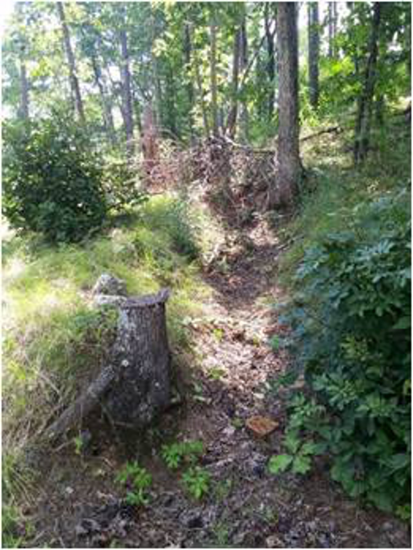
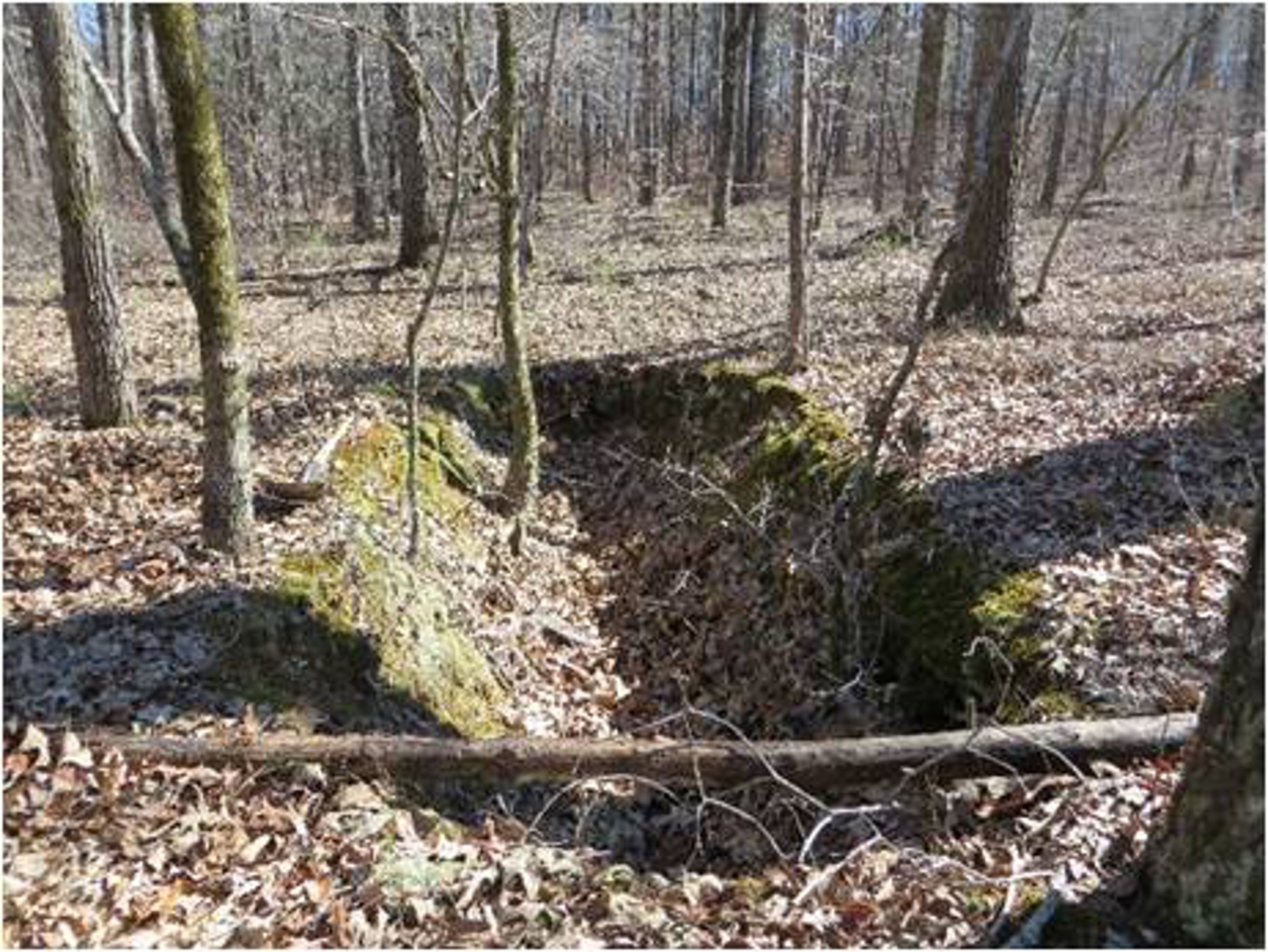
Using hillshade data created by the GIS Program, in conjunction with Light Detection and Ranging (LiDAR) data, the CRM Team is able to see features and footprints of historical sites and pinpoint the potential for additional resources. This data helped identify WWI-era training trenches, WWII-era unit camp and training locations, historical mining operations and previously unrecorded cemeteries. By combining maps, archival records and survey results, the CRM Team was able to identify a WWII-era archaeological site as a "Buffalo Soldiers" training camp.
The team developed the CRM-GIS tools in-house, saving thousands of dollars and culminating in a more tailored, responsive product. In addition to the CRM-GIS system, the ALARNG focuses on public outreach and partnerships. Following an interview with descendants of one family, the CRM Team conducted research on an African American cemetery on FM-ARNGTC.
"A family member associated with New Mount Sellers cemetery told a story of their grandfather being buried, with his grave marked by a porcelain pitcher. She thought she could find his grave, if she could find the pitcher. We explored non-invasive options to help her quest," said Dr. Heather Puckett, ALARNG Cultural Resources Manager.
In partnership with the Natural Resources Conservation Service (NRCS), the CRM Team utilized Ground Penetrating Radar (GPR) which revealed a larger cemetery footprint than previously known, as well as unmarked burial sites.
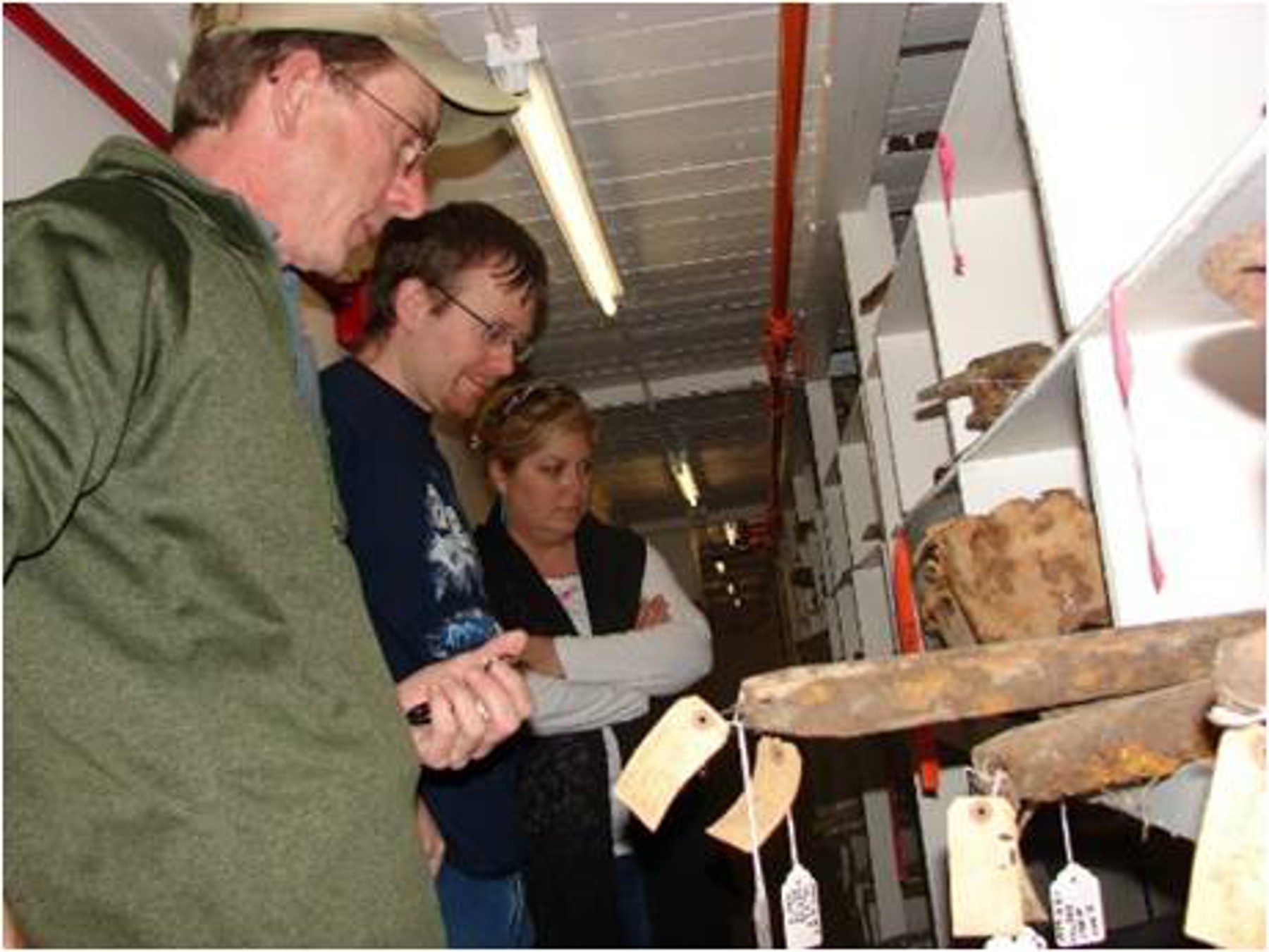
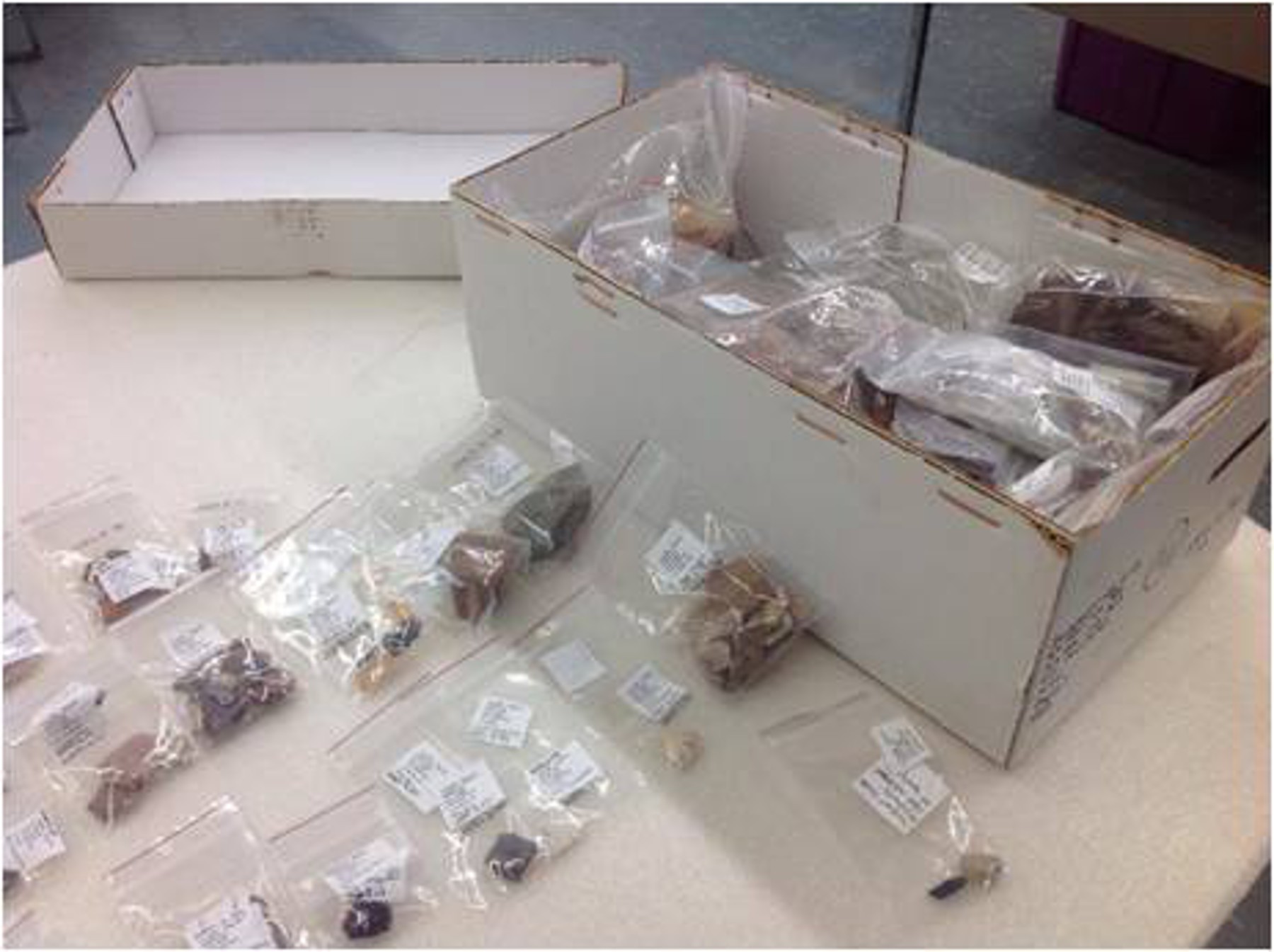
Nearly all of the ALARNG lands have been surveyed and reassessed using modern archaeological standards, an effort made possible by state and federal partners, such as Troy University, the NRCS, and professional archaeologists. Troy students gain valuable experience with the possibility of moving into an intern position with the CRM program.
Social Sharing