

ADELPHI, Md. (May 11, 2016) -- Researchers at the U.S. Army Research Laboratory have developed a new system that will enhance the capabilities of U.S. Army Pathfinders as they conduct aerial operations.
In response to a Request for Information from the U.S. Army-Africa to remove what is known as the pilot balloon from the battlefield, ARL undertook a program to reduce the size, weight and power of current commercial-off-the-shelf Doppler Light Detection and Ranging, or LiDAR, systems.
The pilot balloon is a small, helium-filled balloon that is released and tracked to measure a wind profile in support of personnel and precision airdrop operations.
Partnering with two companies, Beyond Photonics and Halo Photonics, ARL has developed a Man-Portable Doppler, or MPDL, LiDAR system that meets the requirements.
The total system weighs less than 45 pounds, is under two cubic feet and operates on standard 24-volt batteries with required power of less than 100 watts.
This reduction in overall SWaP has not impacted the system's operational capabilities as compared to its predecessor, highly accurate Doppler LiDAR systems.
"Pathfinders currently face challenges impacting operations and warfighter safety," said Deryck James, meteorological technician in ARL's Atmospheric Sensing Branch and combat veteran. "Employing Man Portable Doppler LiDAR and other LiDAR systems provide the Pathfinder with capabilities to enhance precision airdrops and enhance environmental awareness for Army operations."
James said that the MPDL also provides the Pathfinder with a capability for forward-area precision airdrop operations, providing for greater delivery of supplies on target, reduction on supplies loss, enhanced drop zone possibilities, improved safety for personnel and increased mission success.
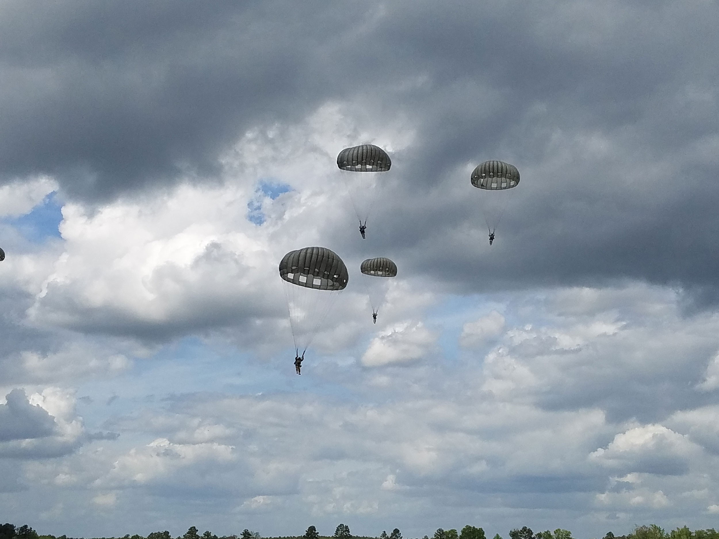
The modern U.S. Army Pathfinders are an elite force making up less than one percent of the total Army. Their primary mission is to infiltrate areas and set up parachute drop zones and helicopter landing zones for airborne and air-assault missions.
James and Dr. David Ligon, also from the laboratory's Atmospheric Sensing Branch, recently trained members of the Georgia National Guard on the new system.
"Brig Gen. Thomas Carden, commanding general of the Georgia Army National Guard, Lt. Col. John M. Till, Georgia State safety director, Chief Warrant Officer 5 Cortez Frazier, command senior airdrop technician, and members of the airborne operations community in attendance at the Parachute Operations Mishap Prevention Orientation Course 2016 echoed their support for the LiDAR technology and the benefits it provides current Pathfinder operations," James said.
In addition to this training, Soldiers from the Georgia National Guard will be trained by ARL on the use of the Doppler LiDAR system prior to their deployment to the Central Accord 2016 joint exercises in Gabon, Africa this summer.
James is slated to accompany the Soldiers on the mission.
"Objectives for the Africa mission include demonstration of the MPDL capabilities and ways to improve LiDAR technology to address requirements impacting Pathfinder operations," James said. "It is beneficial for ARL to have a representative on this mission, as I will be able to facilitate software/user interface for LiDAR parameters, answer any questions that may arise and further explore opportunities to employ LiDAR technology to enhance airborne and Army operations in total."
If the rugged and versatile MPDL performs as expected, it will likely be selected by USARAF to remove the oftentimes unreliable and inaccurate, helium-dependent pilot balloon from the battlefield, providing our Soldiers with a much needed modern capability that increases the accuracy of aerial delivery operations.
According to Pamela Clark, chief of ARL's Battlefield Environment Division, the vision that James and Ligon had for this system truly came to life, revolutionizing military operations for warfighters on the battlefield.
"The Man-Portable Doppler LiDAR system significantly enhances our ability to achieve overmatch by more confidently understanding atmospheric impacts on airdrop operations," Clark said. "David's and DJ's vision and hard work to further develop and transition this technology has resulted in a deployable system capable of revolutionizing how we measure winds aloft for military operations."
-----
The U.S. Army Research Laboratory is part of the U.S. Army Research, Development and Engineering Command, which has the mission to ensure decisive overmatch for unified land operations to empower the Army, the joint warfighter and our nation. RDECOM is a major subordinate command of the U.S. Army Materiel Command.
Social Sharing