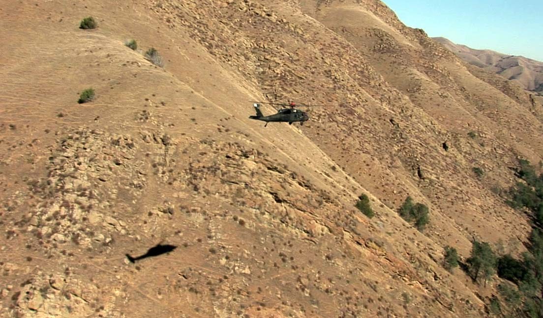
MOFFETT FIELD, Calif. -- Over the skies east of San Jose, a Black Hawk helicopter was seen flying low and slow Nov. 5. There were pilots aboard the aircraft, but all maneuvers during this flight were being conducted autonomously.
The U.S. Army Research, Development and Engineering Command's Aviation and Missile Center successfully demonstrated low-level autonomous behaviors in a flight over the Diablo Range. This demonstration is critical to the next generation of technological advances in military rotorcraft: obstacle field navigation and safe landing area determination.
Terrain sensing, statistical processing, risk assessment, threat avoidance, trajectory generation, and autonomous flight control were performed in real‐time during the two‐hour test flight.
"This was the first time terrain-aware autonomy has been achieved on a Black Hawk," said Lt.
Col. Carl Ott, chief of the Flight Projects Office at AMRDEC's Aero Flight Dynamics Directorate.
Testing was conducted on the Rotorcraft Aircrew Systems Concept Airborne Laboratory, or
RASCAL, a JUH-60A Black Hawk equipped with the H.N. Burns 3D-LZ laser detection and
ranging system for terrain sensing.
"The RASCAL aircraft was the ideal platform to demonstrate this technology. It provides a fully programmable, fly-by-wire flight control system and [has] advanced sensor interfaces for rapid prototyping of new concepts while maintaining the standard UH-60 hydro-mechanical flight control system as a safety backup," said Jay Fletcher, RASCAL project manager.
Throughout the flight, the aircraft maintained an altitude of 200 and 400 feet above ground. During the final obstacle of the field navigation flight, the safe landing area determination algorithm autonomously identified a safe landing spot within a forest clearing
and commanded the aircraft to approach and hover at 60 feet.
Final hover was accurate within a foot.
"A risk-minimizing algorithm was used to compute and command a safe trajectory continuously throughout 23 miles of rugged terrain at an average speed of 40 knots," said Matthew Whalley, the Autonomous Rotorcraft Project lead. "No prior knowledge of the terrain was used."
Crew members on the historic flight were Army experimental test pilots Lt. Col. Mike Olmstead and Ott, RASCAL system operator Dennis Zollo, and Dr. Marc Takahashi.
Related Links:
U.S. Army Research, Development and Engineering Command (RDECOM)
Social Sharing