REDSTONE ARSENAL, Ala. -- As western states fought recent wildfires on the ground, a program developed in Huntsville by members of U.S. Army Space and Missile Defense Command/Army Forces Strategic Command's Future Warfare Center helped emergency agencies from above.
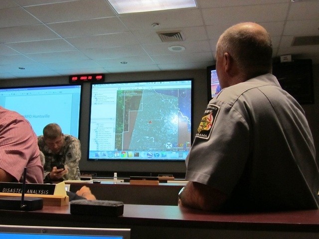
Local units have are providing support to wildfires in the Western United States using Eagle Vision. Eagle Vision is a family of deployable, commercial satellite ground stations that collect and process near real-time optical and synthetic aperture radar imagery from commercial satellites. Commercial satellite imagery is processed to agencies using the Eagle Vision and Rover Responsive Exploitation of Space Products for Tactical Use, or EVR2EST -- an initiative that was developed by USASMDC/ARSTRAT.
"It feels pretty rewarding to have a system we designed here at Redstone Arsenal that can affect people on the other side of the country," said Justin Novak, USASMDC/ARSTRAT FWC's Innovative Ventures Office. "It is also rewarding to achieve such a wide utility with this."
EVR2EST is an FWC system developed for Air Force systems to disseminate Eagle Vision Commercial Satellite imagery to remote locations in a timely, bandwidth-efficient manner.
Eagle Vision has processed and distributed approximately 37 square miles of satellite imagery to Colorado fire response authorities. Since June 14, members of the 226th Combat Communication Group located in Huntsville have supported firefighters battling the Waldo Canyon and High Park fires in Colorado. The 226th CCG is also providing Eagle Vision support to fires in New Mexico, Montana and Wyoming, as well as floods in Minnesota and Wisconsin.
"We heard the fires were really, really bad and it was one of the largest and most destructive wildfires in the state's history both in terms of property and life," Novak said. "With the help of our system, they were able to get the products in the hands of responders and local emergency management officials very, very rapidly."
Eagle Vision commercial imagery is unclassified, making it readily shareable and releasable to emergency and first responders. Officials can then use the satellite imagery to efficiently plan and prioritize their actions.
"EVR2EST focuses the response resources where they are needed," Novak said. "So instead of finding the fire when you get there, you already know that information going in so it helps get emergency personnel in the mindset of coming up with a plan and executing that plan. EVR2EST helps support emergency agencies by providing aerial photos of grid searches to help first responders and workers. It also helps direct rescue crews to hard-hit areas without them going to unaffected areas or areas which already have units there.
"It is a huge game-changer because you typically need different software packages," Novak said. "This way, you go to a website, you pull up the image you want and it's there."
Although the current wildfires are the latest use of EVR2EST, it has been used in the past by the Department of Defense in ongoing combat operations and by national emergency agencies to help with Hurricane Katrina, Haiti relief efforts, the tornado outbreak of 2011 as well as many others.
Social Sharing