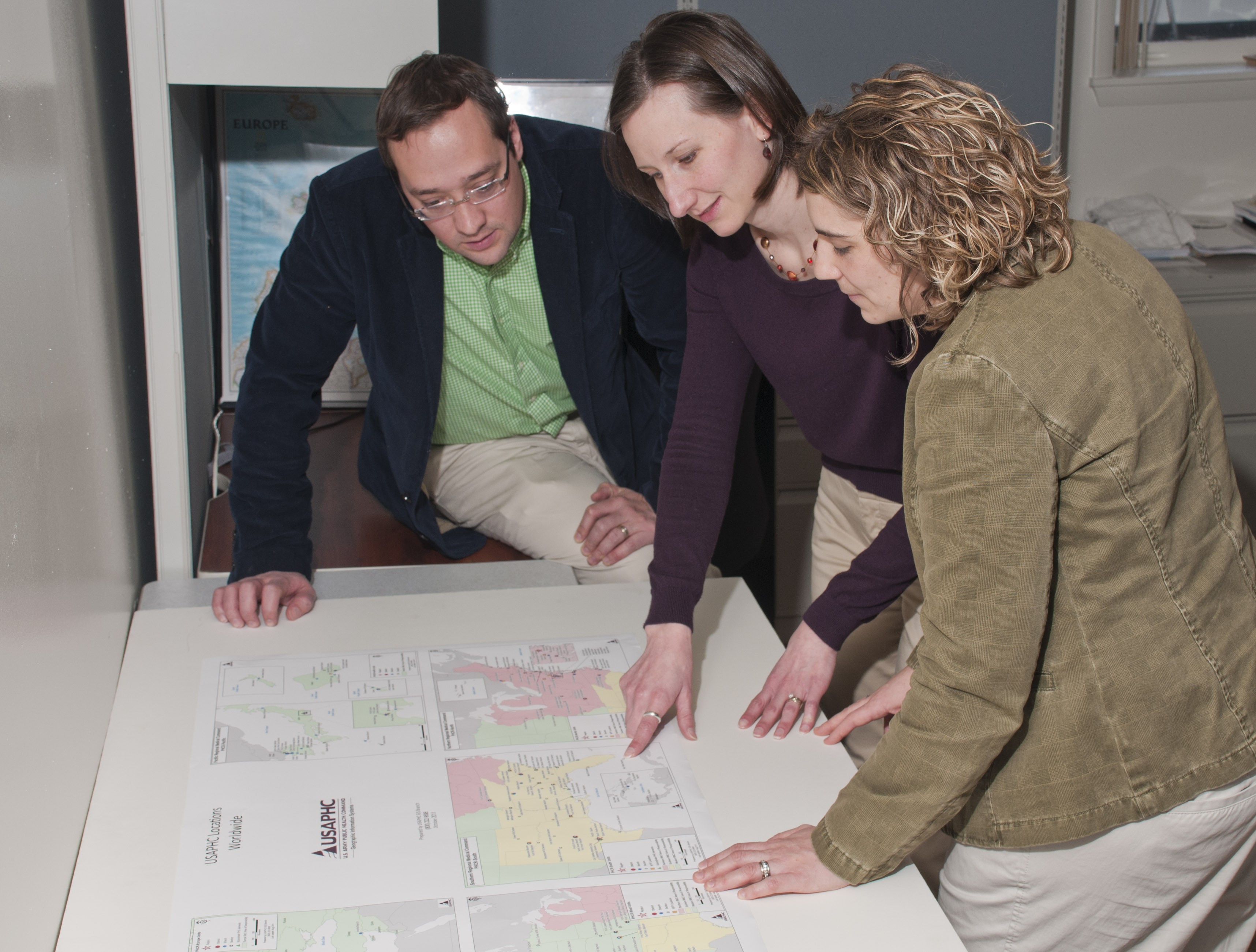
Within U.S. Army Public Health Command's G-6 Directorate of Information Management/Information Technology is a small team of geographers who use maps to tell some very detailed stories. The team takes data with a spatial component and puts them in a format that often reveals relationships, patterns and trends.
The Geographic Information Systems Branch is the only group of its kind within the Army Medical Command. The GIS Branch provides planning information for tracking troops, environmental sample mapping, injury patterns and other two- and three-dimensional representations of events. It provides support to all AIPH and USAPHC regions, as well as the Office of the Army Surgeon General/U.S. Army Medical Command and various Department of Defense entities.
"A geographic information system is a technique that integrates hardware, software and data to capture, store, manipulate, analyze, manage and present all types of geographically referenced data," according to Shannon Lowe, one of three geographers with the GIS team. "GIS can integrate and relate any data with a spatial component and gives the user the ability to view, understand, question, interpret and visualize data in ways that reveal relationships, patterns and trends."
During the 1st Gulf War, the Kuwait oil well fires posed military and medical concerns to those deployed to the area. Team members from the former U.S. Army Center for Health Promotion and Preventive Medicine used GIS technology to capture, manage, analyze, model and display data that tracked smoke and particulates from the fires.
This information was linked to locations and movements of Soldiers and units to determine exposures and possible health risks.
"The Kuwait study was one of the first opportunities to demonstrate how this technology could support multiple aspects of a deployment," according to Jeff Kirkpatrick, Health Risk Management Portfolio director.
Kirkpatrick, a meteorologist, was one of the early proponents of GIS technology at the USACHPPM and helped develop and apply the capabilities of the current group of GIS specialists.
As the desire for this technology grew at USACHPPM, a team was formed under the leadership of Jason Edmondson, chief, Information Systems Division in G-6. Even though centralization was taking place, G-6 did not want to move part-time users of GIS technology, program level scientists and engineers, away from their pockets of expertise.
For instance, the Entomological Sciences Program is self-sufficient in using GIS, explained Edmonson.
"We map pest populations inside and outside of buildings. Cockroaches inside Army dining facilities, tick populations on military posts, and brown recluse spiders in exercise areas have been tracked using this system," according to Tom Burroughs, ESP chief. "The GIS technology allowed us to better understand the location of the pests, their movement, and their possible effect on human populations," he added.
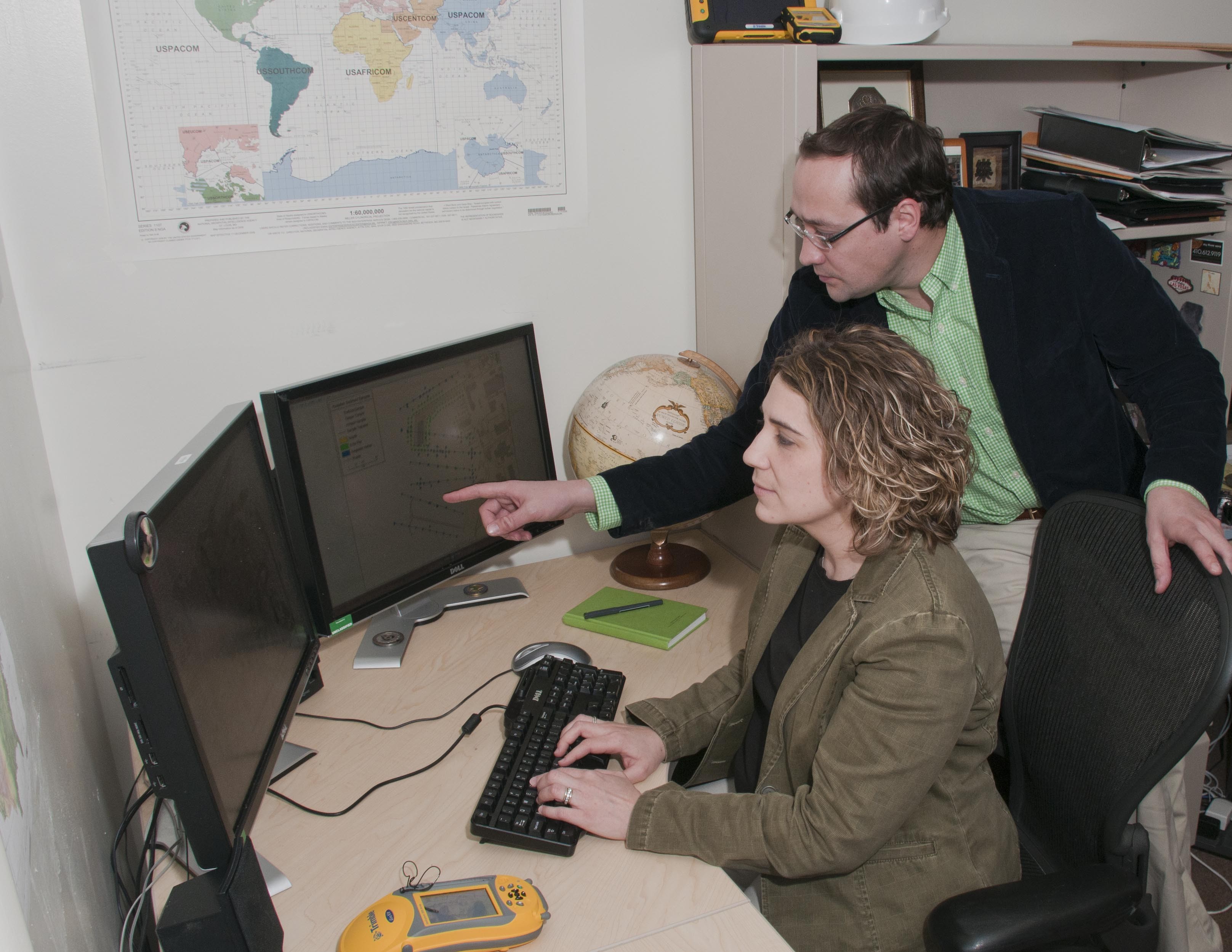
"GIS technology has advanced since its early days," explained Lowe. "We now have the capability to use handheld GPS equipment and computer tablets to transfer data from the field to our office workstations."
In fact, these GPS units really give the scientist or engineer in the field a better tool for mapping environmental samples.
"We maintain these units and have them available for use upon request. Ideally, if data are available, we can pre-load the units with background data for a sampling site. We obtain data from various sources to include the National Geospatial-Intelligence Agency, U.S. Geological Survey and other organizations to ensure our mapping data and other information is up-to-date and accurate," said Lowe.
"The old adage that a picture is worth a thousand words is very true when you look at GIS data," she said. "We take many types of data and integrate them developing 3-D models that give our scientists and engineers a more comprehensive picture of what is happening."
"Our product is much more than just a flat picture," said Shaina Zobel, team member. "The spatial data and maps the GIS Branch produce are multi-layered and contain essential attributes that relate to features on the map. Geographic Information Systems can perform spatial analysis, modeling, and real-world reference, which expands on geo-services that are not offered outside of USAPHC."
GIS mapping data can be of great assistance in the greater public health community in responding to emerging infectious disease outbreaks and humanitarian emergencies.
BioServ is a new GIS-based biosurveillance information service that incorporates human, animal and environmental data with infrastructure data into a single information service that will assist in decision making and providing interventions, explained Patrick Dickinson, third member of the GIS team. This joint venture is headed locally by USAPHC G-7 with support from PHCR--Pacific, the Navy and the Pacific Disaster Center.
"The proliferation of geographic information is now evident in the general public, notably through the use of GPS and internet maps. The maturation of GIS solutions, especially as it relates to providing end users dynamic content, can be seen through the use of internet-based GIS or dynamic PDF files. We are no longer locked into providing just a paper or static digital map for the PHC mission," related Edmondson.
GIS Branch staff members invite customers from all USAPHC portfolios and regions to contact them for assistance in using GPS field mapping equipment and with spatial analysis or mapping projects.
"We have the ability to help you look at your data in innovative ways," said Lowe. "And we may be able to help you find more accurate answers to your questions."
Social Sharing