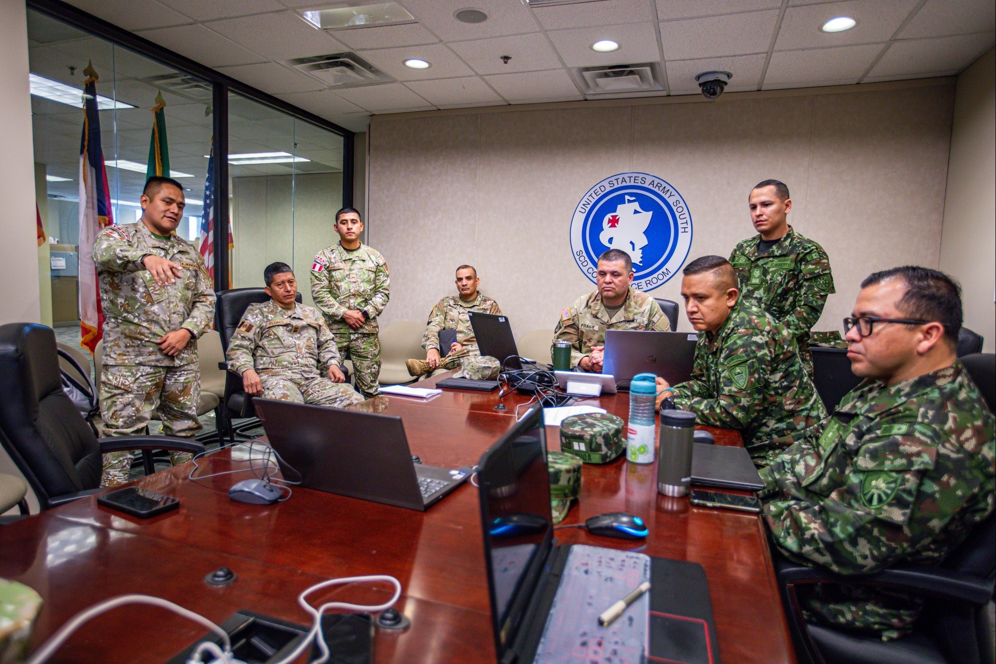
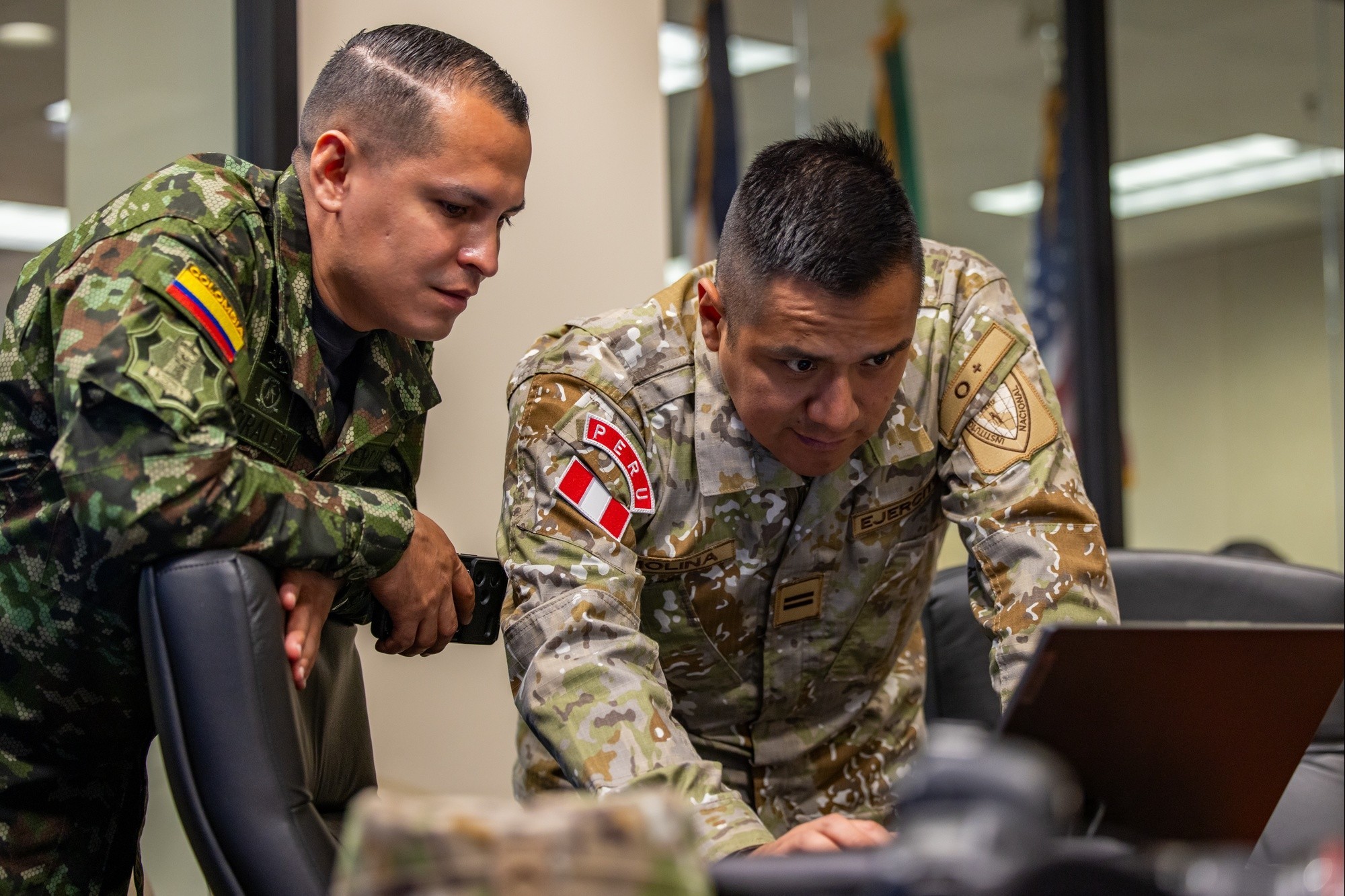
FORT SAM HOUSTON, Texas – Soldiers from the U.S. Army South (USARSOUTH) conducted a geospatial subject matter expert exchange (SMEE) with members of the Colombian and Peruvian armies, July 22-24, as part of an agreed-to action with the Colombian army.
The purpose of the SMEE was to build partnered capacity in geospatial engineering, promote integrated capabilities for the acquisition of geospatial data, and establish a sustainable forum for ongoing collaboration and knowledge sharing.
“This exchange served as an opportunity to display and understand each of our forces' capabilities, which enables us to know how we can support each other,” said Chief Warrant Officer 4 Alexander Fraire, senior geospatial warrant officer with the 512th Geospatial Engineering Detachment, Headquarters and Headquarters Battalion, USARSOUTH. “Understanding how each army operates increasesour collective interoperability and allows us to share best practices as well as intelligence.”
Over the course of the three-day exchange, participants focused on increasing interoperability to ease knowledge sharing, providing integrated solutions using geospatial assets, and sharing tactics, techniques, and procedures for unmanned aircraft systems reporting and visualizations.
There were also briefings from the U.S. Army Geospatial Center and a geospatial vendor on emerging technologies.
At the conclusion of three days of talks and a tabletop exercise, participants conducted a combined map analysis of an area targeted by a simulated narco-trafficking threat.
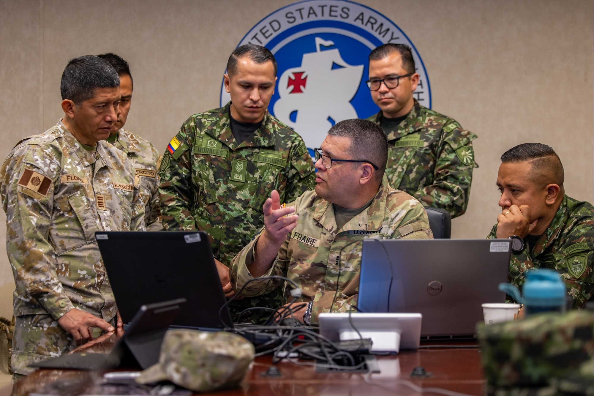
Fraire, who has worked in the geospatial field since 2002 and has nearly four years of combat deployment experience as a geospatial engineer, said that geospatial engineering plays a vital role in every fighting function in the armed forces, and he emphasized the operational impact of this type of collaboration.
“This SMEE has helped us generate new ideas for how we can respond to humanitarian assistance and disaster relief efforts because the Peruvian army is dedicated to natural disaster response in their country,” he said. “It also gave us insight into how the Colombian army plans to implement drone capabilities as part of their combat operations fighting transnational criminal organizations in their country, and their feedback will allow us to enhance and refine our own combat operations moving forward.”
At the request of the Peruvian Embassy, geospatial engineers from the Peruvian Army attended the exchange to increase regional security cooperation and add their perspective and expertise to the event.
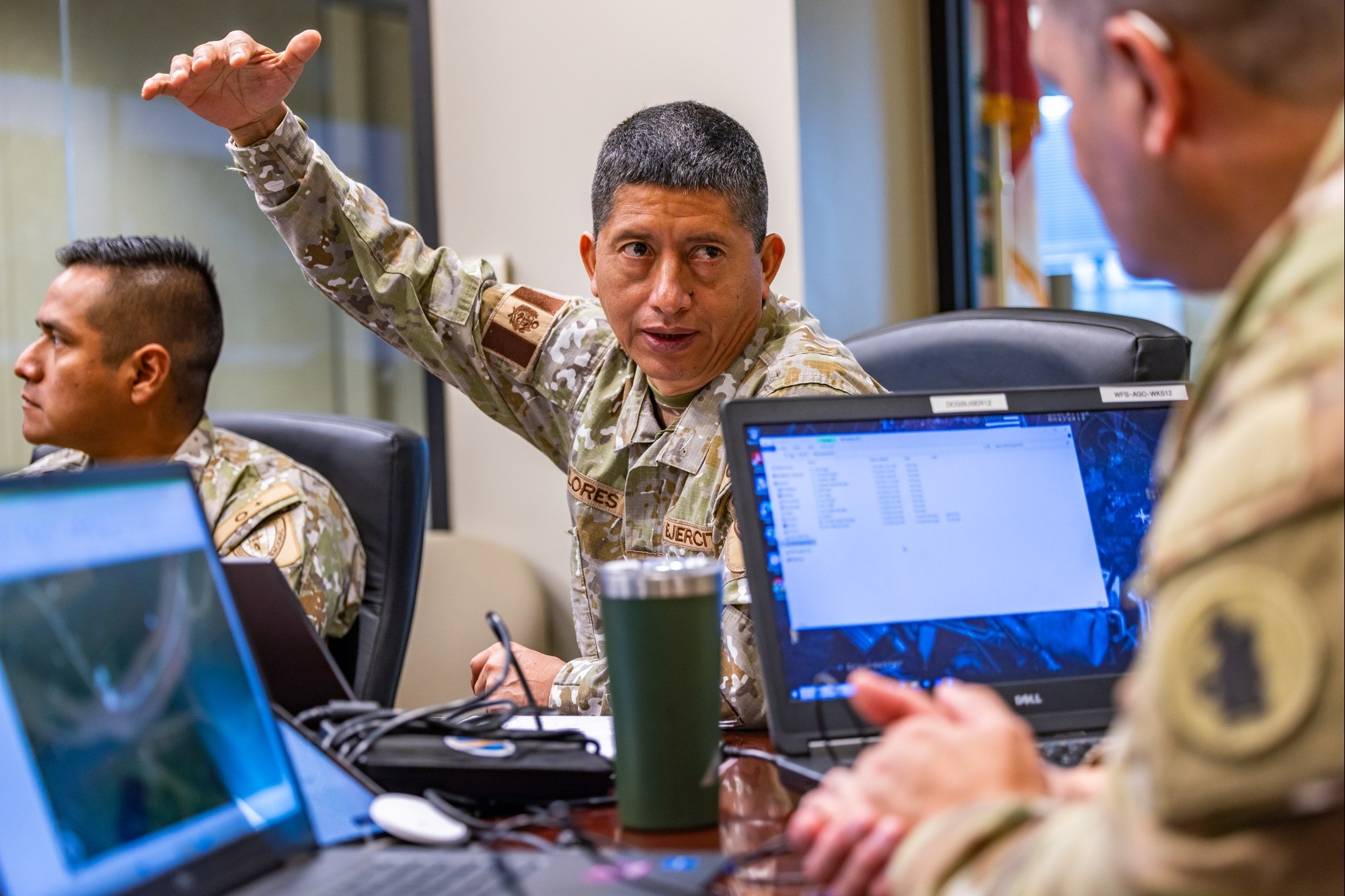
Peruvian army Lt. Col. Reynaldo Flores Rivero, director of the National School of Geomatics at the National Geographic Institute of Peru, emphasized the operational relevance of geospatial capabilities.
“The military decision-making process considers the geographical or terrain domain,” he said. “Therefore, terrain analysis is essential, and geospatial information is vital because it helps make better decisions for operations and risk management.”
Colombian army Maj. John Pulido Orduz, deputy director of the Military Engineering School, echoed those sentiments, highlighting the broader strategic value of regional collaboration.
“These partnerships significantly strengthen the readiness of the Colombian army by allowing it to adopt best practices, doctrines, and capabilities applicable to multinational operations,” Pulido said. “It also builds trust-based relationships with allied armies, which is fundamental for effectively addressing shared challenges in regional and international contexts.”
He added that the exchange has laid the foundation for lasting cooperation.
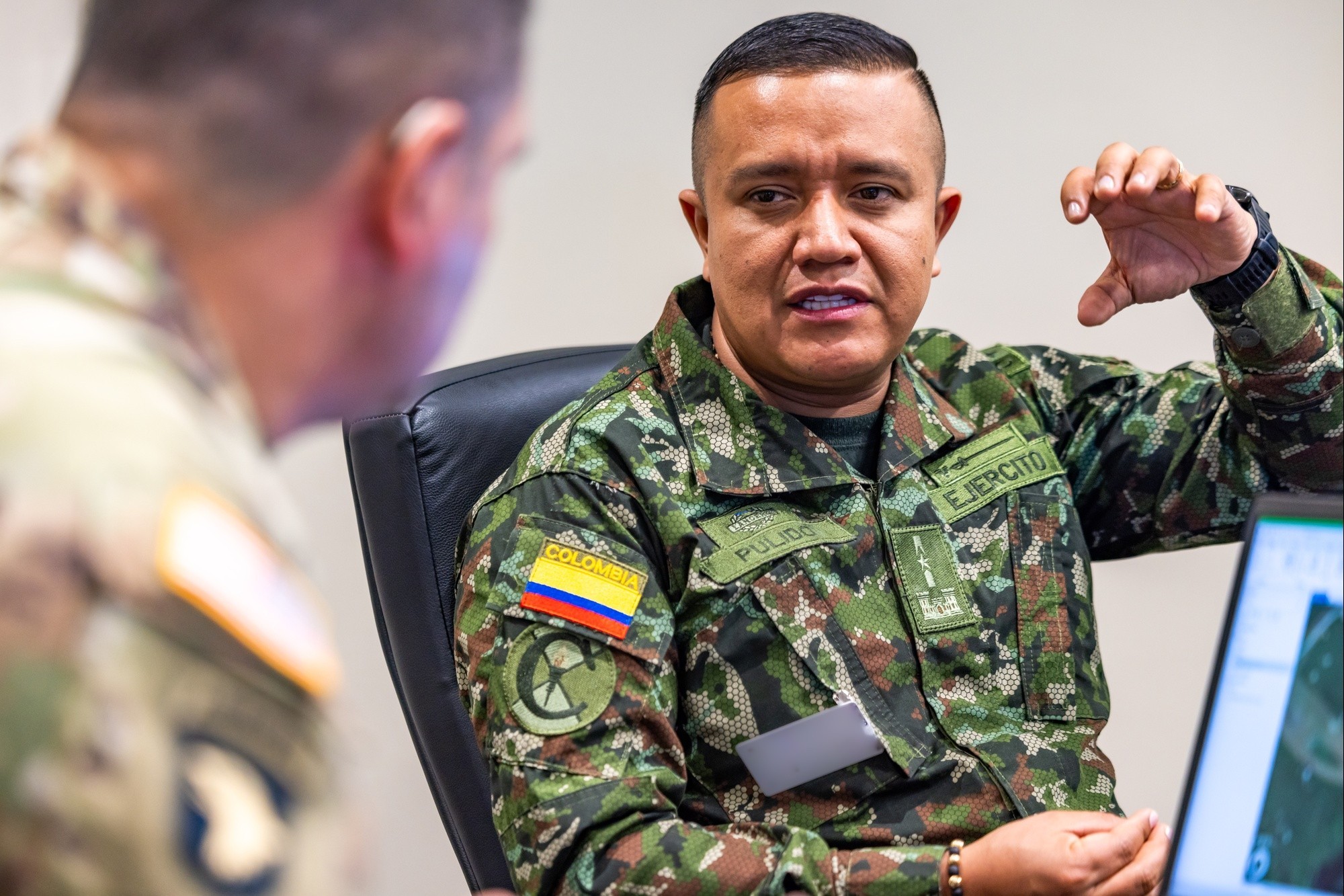
“Concrete opportunities are emerging, such as the development of combined exercises focused on data interoperability, creation of combined technical procedures for unmanned aircraft system operations, continuous personnel training through academic and operational exchanges, and the implementation of shared geospatial visualization tools to enable coordinated responses to common threats across the hemisphere,” Pulido said.
Flores, who attended a geospatial SMEE at the USARSOUTH headquarters in 2023, said this and previous exchanges have directly influenced institutional development, noting the recent opening of a Peruvian army geospatial operations cell.
“The experiences and capabilities of the U.S. 512th Engineer Detachment have helped us restructure our geospatial organization within the Peruvian army,” Flores said. “This is a major achievement for us and reflects the positive results of this exchange and the support provided by the U.S.”
Flores also underscored the long-term value of multinational learning.
“The exchange between countries is crucial, as it provides the opportunity to learn from the experiences of applying geospatial information in different contexts,” he said. “This, in turn, helps improve our internal processes to better support our military operations and disaster risk management efforts.”
Fraire reinforced the impact security cooperation activities like this have on regional security.
“This collaborative and transformative meeting enables our forces, along with our partners and allies, to respond to any crisis or contingency that may happen in the region,” Fraire added. “Exchanges like this not only increase the security of the region but the entire Western Hemisphere.”
Social Sharing