Geospatial engineers create a clear picture for Operation Southern Guard

By Staff Sgt. ShaTyra Reed-CoxFebruary 24, 2025

A geospatial engineer with Joint Task Force Southern Guard prints area maps at Naval Station Guantanamo Bay, Cuba, Feb. 22, 2025. Joint Task Force Southern Guard is supporting illegal aliens holding operations led by the Department of Homeland...
A geospatial engineer with Joint Task Force Southern Guard prints area maps at Naval Station Guantanamo Bay, Cuba, Feb. 22, 2025. Joint Task Force Southern Guard is supporting illegal aliens holding operations led by the Department of Homeland Security at Naval Station Guantanamo Bay, Cuba. This photo has been altered for security purposes. (Photo Credit: U.S. Army photo by Staff Sgt. ShaTyra Reed-Cox) VIEW ORIGINAL

NAVAL STATION GUANTANAMO BAY, Cuba — Clear, accurate and up-to-date intelligence, no matter the location, is important.

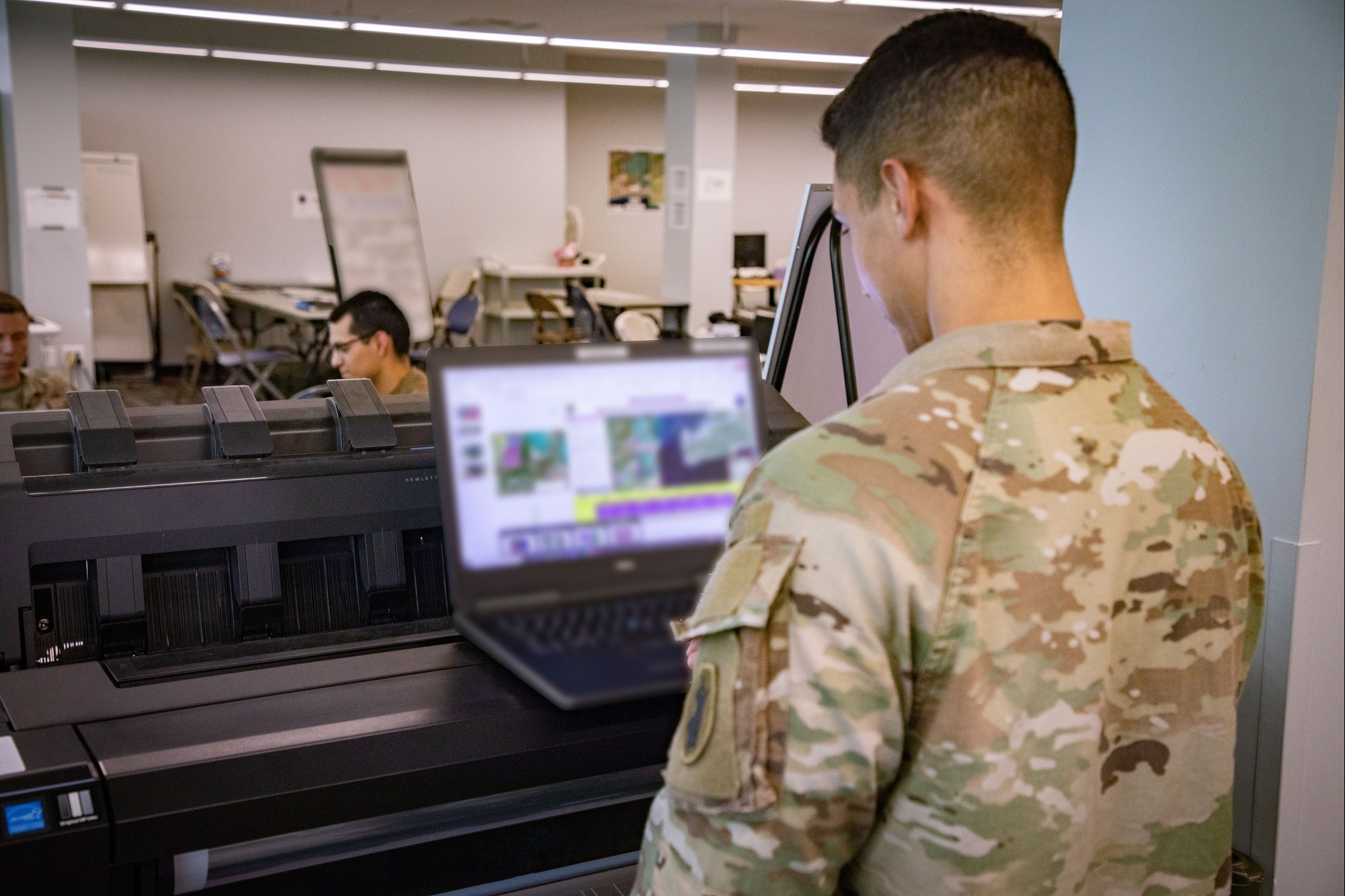
The easiest, most effective way to gain this intelligence is through visualization. That means having the right maps, imagery and geospatial data is the number one priority for the small but mighty team of three geospatial engineers who make up the geospatial intelligence cell at Joint Task Force Southern Guard, or JTF-SG.

Geospatial Engineers create a clear picture for Operation Southern Guard
The Joint Task Force Southern Guard geospatial intelligence cell noncommissioned officer in charge explains aerial data to the JTF J3 sergeant major at Naval Station Guantanamo Bay, Cuba, Feb. 20, 2025. Joint Task Force Southern Guard is supporting illegal aliens holding operations led by the Department of Homeland Security at Naval Station Guantanamo Bay, Cuba. This photo has been altered for security purposes. (Photo Credit: U.S. Army photo by Staff Sgt. ShaTyra Reed-Cox) VIEW ORIGINAL

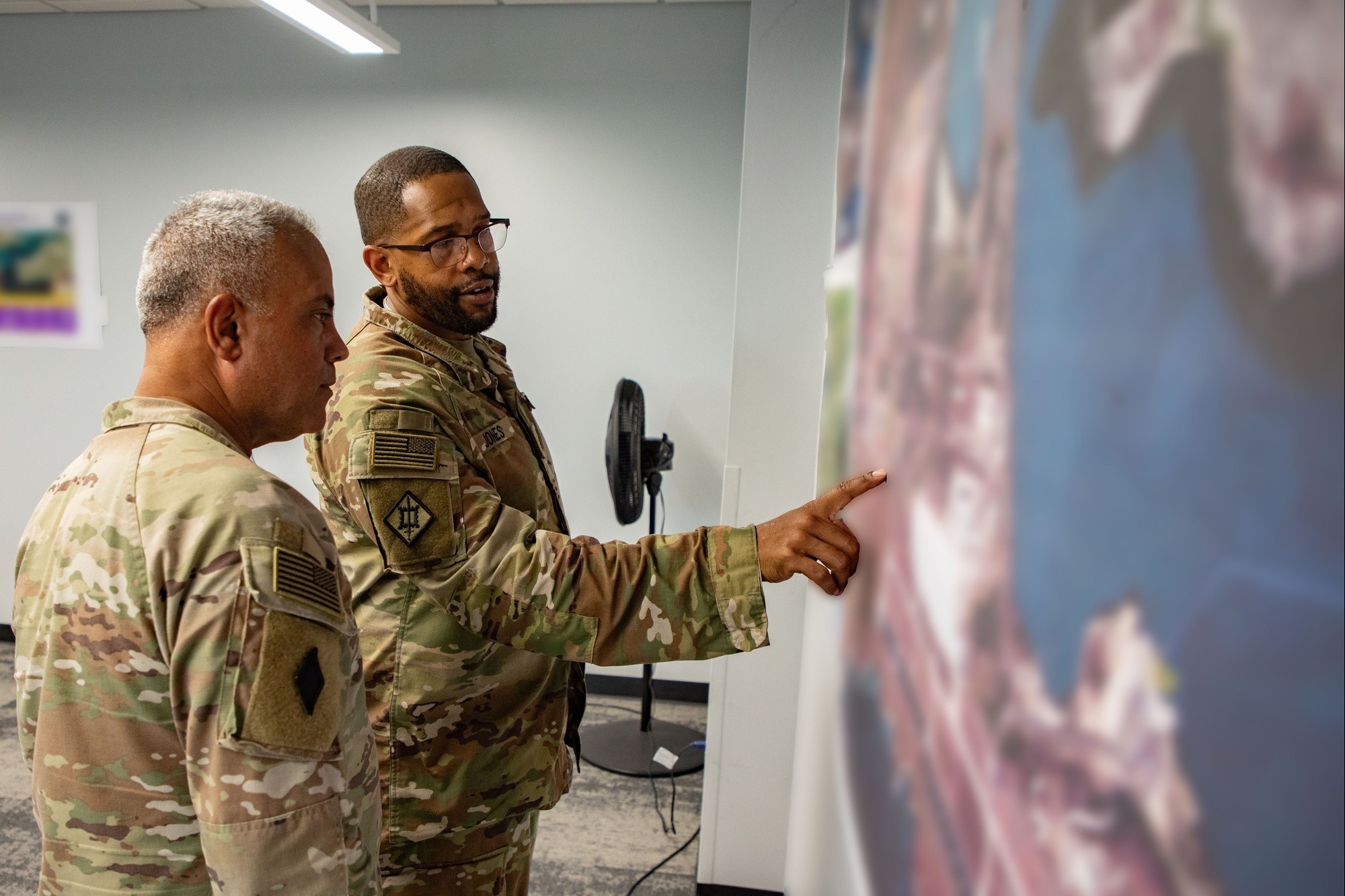
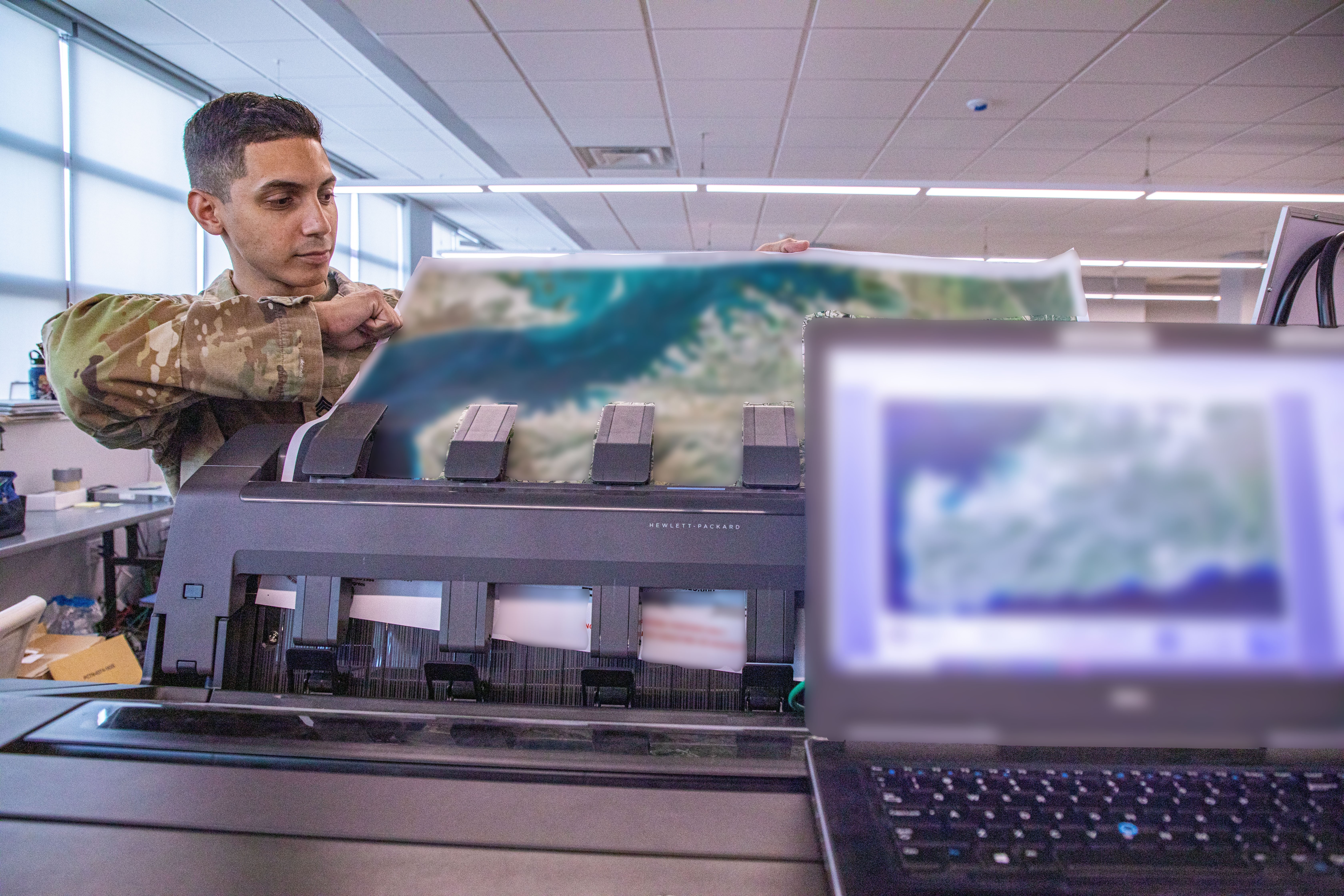
"Without precise maps and real-time visuals, planning and execution would be significantly harder," said Army Master Sgt. Maurice Jones, JTF-SG’s geospatial intelligence noncommissioned officer in charge. "We provide the digital and printed products that allow commanders to see the operational picture clearly and make informed decisions in real time."

The geospatial engineers ensure that leaders have the most precise and up-to-date spatial data to support the entire Operation Southern Guard.

"Every section relies on our products, whether it’s for logistics, security, or construction planning," Jones continued. "A single, inaccurate coordinate could impact an entire operation, so our job is to ensure that doesn’t happen."

From large-scale base layouts to detailed terrain analyses, the team ensures that every printed and digital map used within the Joint Operations Center and for briefings to higher echelons is accurate and up to date.

Geospatial Engineers create a clear picture for Operation Southern Guard
1 / 2 Show Caption + Hide Caption – Joint Task Force Southern Guard geospatial intelligence engineers discuss map layouts at Naval Station Guantanamo Bay, Cuba, Feb. 20, 2025. Joint Task Force Southern Guard is supporting illegal aliens holding operations led by the Department of Homeland Security at Naval Station Guantanamo Bay, Cuba. This photo has been altered for security purposes. (Photo Credit: U.S. Army photo by Staff Sgt. ShaTyra Reed-Cox) VIEW ORIGINAL
Geospatial Engineers create a clear picture for Operation Southern Guard
2 / 2 Show Caption + Hide Caption – A geospatial engineer with Joint Task Force Southern Guard creates maps from aerial drone photos at Naval Station Guantanamo Bay, Cuba, Feb. 20, 2025. Joint Task Force Southern Guard is supporting illegal aliens holding operations led by the Department of Homeland Security at Naval Station Guantanamo Bay, Cuba. This photo has been altered for security purposes. (Photo Credit: U.S. Army photo by Staff Sgt. ShaTyra Reed-Cox) VIEW ORIGINAL

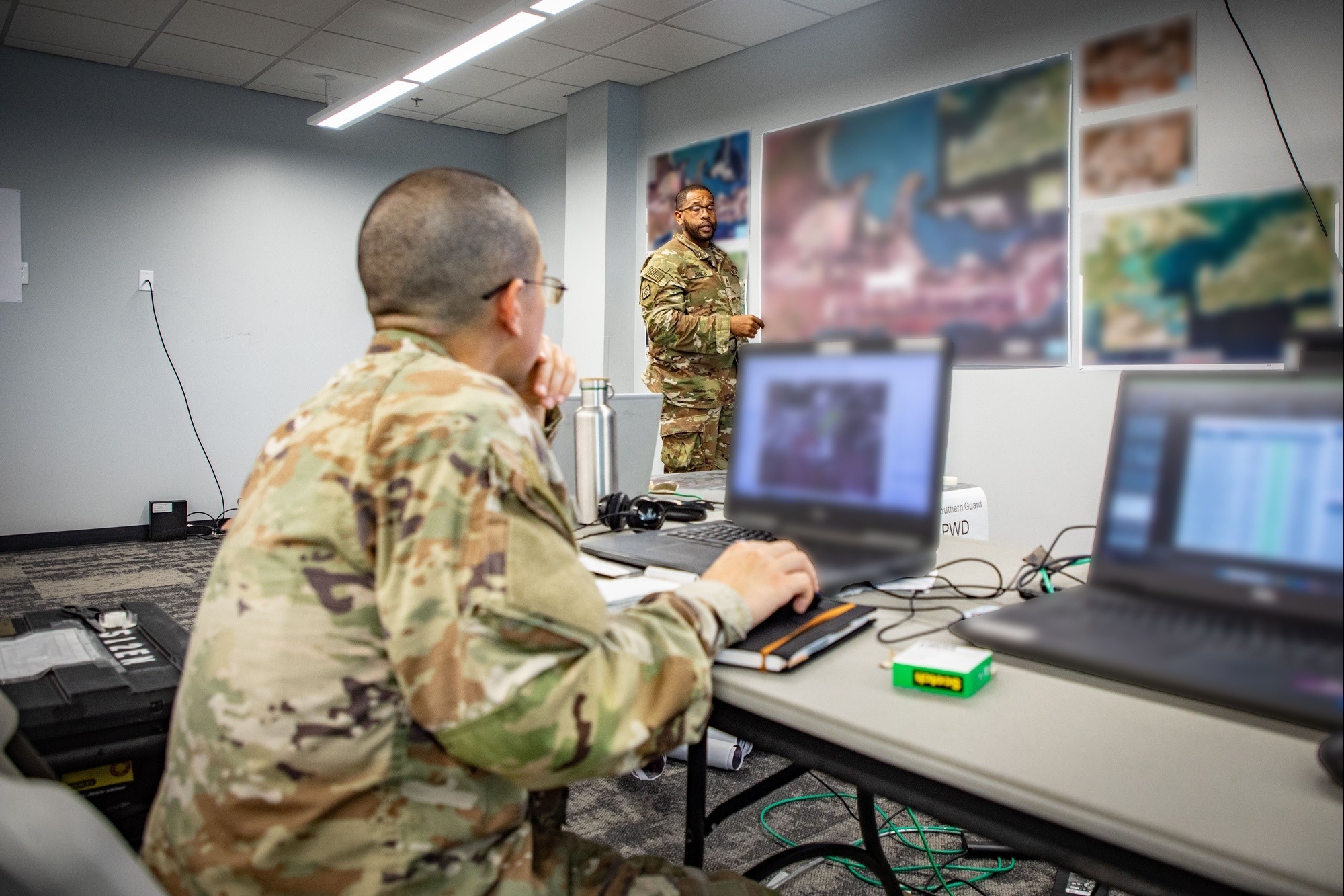
"We don’t just print maps, we create decision-making tools and comprehensive visualization assets for commanders," Sgt. Jack LeBlanc, a geospatial engineer with JTF-SG stated. "Our products give leaders the confidence to act decisively, knowing they have the most current and reliable data at their fingertips."

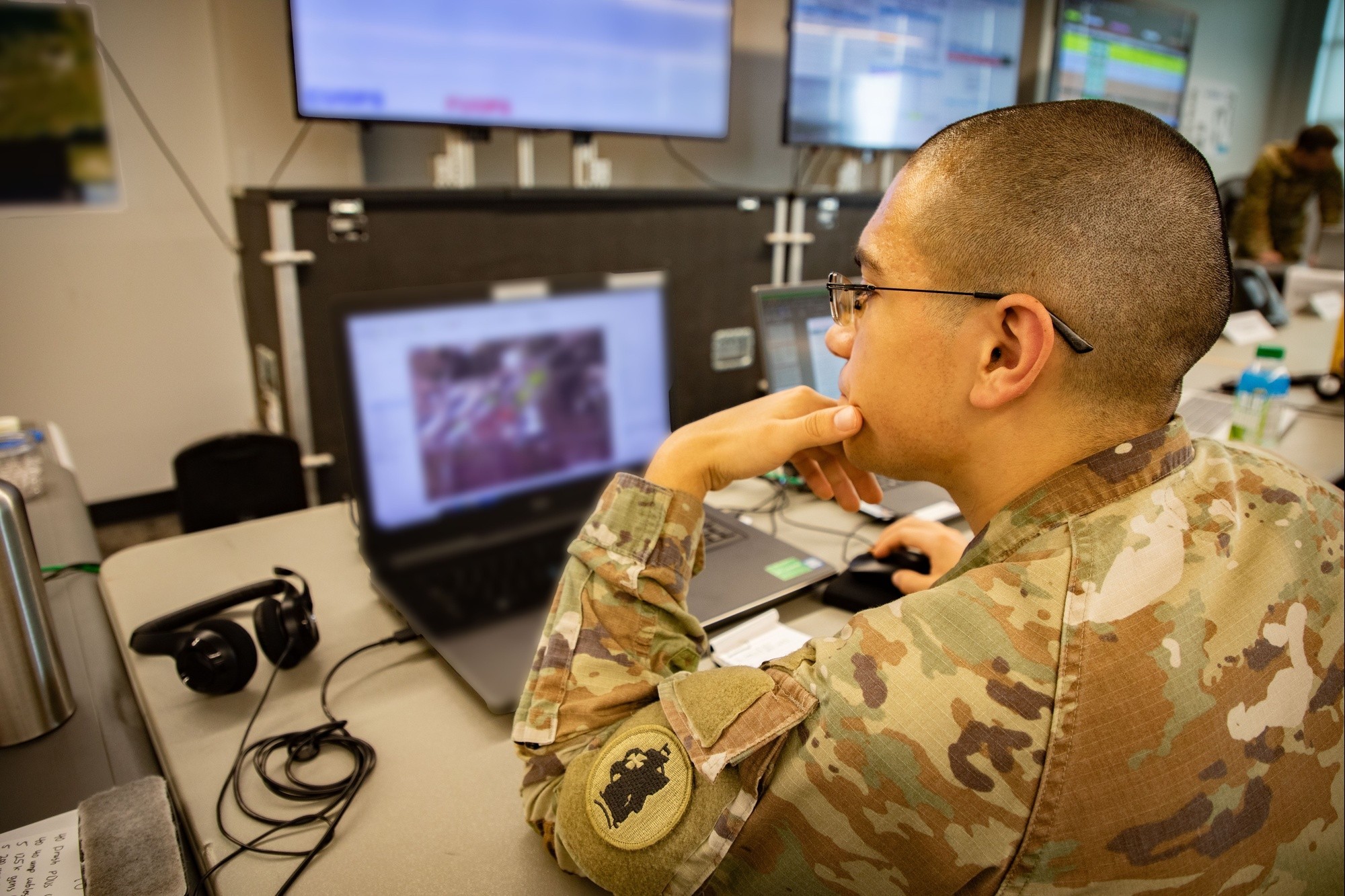
While geospatial engineers specialize in mapping, up-to-date aerial imagery is key to their success. The small, unmanned aircraft system operators from the Bravo Company, 1st Battalion, 6th Marine Regiment, 2nd Marine Division, provide real-time imagery, allowing geospatial engineers to integrate geo-tagged photos into their mapping products.

U.S. Marines provide support to Illegal Aliens Holding Operations at Guantanamo Bay
1 / 2 Show Caption + Hide Caption – A U.S. Marine conducts drone operations in support of interagency partners during Joint Operation Southern Guard at Naval Station Guantanamo Bay, Cuba Feb. 18, 2025. Joint Task Force Southern Guard is supporting illegal alien holding operations led by the Department of Homeland Security. (Photo Credit: U.S. Marine Corps photo by Cpl. Cassidy Shepherd) VIEW ORIGINAL
U.S. Marines provide support to Illegal Aliens Holding Operations at Guantanamo Bay
2 / 2 Show Caption + Hide Caption – A U.S. Marine conducts drone operations in support of interagency partners during Joint Operation Southern Guard at Naval Station Guantanamo Bay, Cuba Feb. 18, 2025. Joint Task Force Southern Guard is supporting illegal alien holding operations led by the Department of Homeland Security. (Photo Credit: U.S. Marine Corps photo by Lance Cpl. Brian Michalski) VIEW ORIGINAL

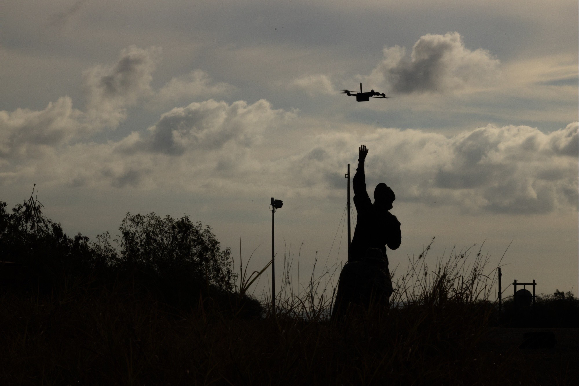
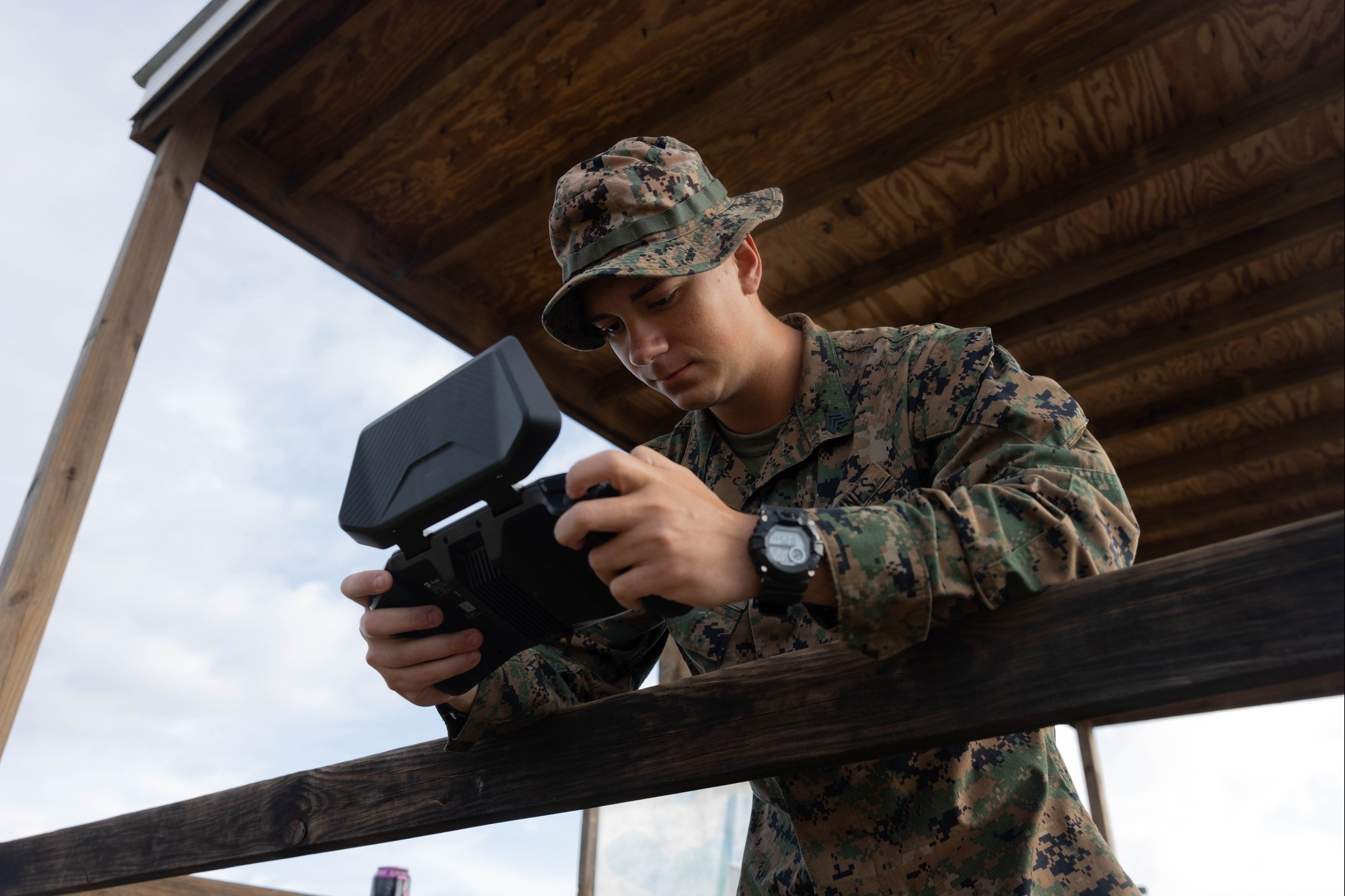
"Our sUAS have the capability to provide real-time intel surveillance and reconnaissance updates, enhancing operational effectiveness,” said a representative from the sUAS operator group. “We are committed to providing support to our sister services whenever opportunities arise, thereby strengthening joint operational capabilities and ensuring seamless interoperability.”

This aerial assist heightens the geospatial engineers' ability to deliver precision-driven intelligence.

"The drone imagery gives us a level of accuracy and detail that we wouldn’t have otherwise," said Staff Sgt. Rafael Rivera, JTF-SG geospatial engineer. "We can overlay the most current images onto our maps, ensuring that every section is working with the most relevant data."

Geospatial Engineers create a clear picture for Operation Southern Guard
A geospatial engineer with Joint Task Force Southern Guard creates aerial maps at Naval Station Guantanamo Bay, Cuba, Feb. 22, 2025. Joint Task Force Southern Guard is supporting illegal aliens holding operations led by the Department of Homeland Security at Naval Station Guantanamo Bay, Cuba. This photo has been altered for security purposes. (Photo Credit: U.S. Army photo by Staff Sgt. ShaTyra Reed-Cox) VIEW ORIGINAL

The collaboration between the two forces allows JTF-SG to seamlessly support the Department of Homeland Security-led migrant operations at Naval Station Guantanamo Bay, Cuba.

"We’re grateful for the support from the Marines," Rivera added. "Their capabilities have drastically improved our ability to fill such a big role with a small team. It’s a perfect example of how joint operations make the mission stronger."