

An optimal combination of teamwork and technology led to the success of Product Director Combat Terrain Information System’s (PD CTIS) participation at the recent Technical Concept Experiment (TCE 24.2) in Camp Pendleton, Calif.
Marines mapped terrain in a variety of conditions along Camp Pendleton’s beaches and routes inland by employing the U.S. Army’s suite of ENFIRE technologies. ENFIRE, formally referred to as AN/TKQ-5(v) Instrument Set, Reconnaissance and Surveying, is managed by PD CTIS, an office within Project Manager Terrestrial Sensors (PM TS).
Dr. Joong Kim, a program officer with Office of Naval Research’s Ocean Battlespace Sensing Department, said leveraging ENFIRE at TCEs is critical to the Army and Marine Corps.
"Early experimentation and demonstrations with developmental technologies and systems in realistic environments ensure seamless integration and future compatibility across both services,” Kim said.
By integrating digital tools in a single platform, ENFIRE enables maneuver forces to expedite route, area, and zone reconnaissance, route clearance, hazard identification, inventory, and construction management efforts. Measuring devices and other ENFIRE peripherals are integrated to a tablet computer that hosts a suite of software to support military engineer functions.
TCE 24.2’s objective was to integrate developmental technologies into a family of systems to address capability gaps in shore to sea undersea warfare (USW) and Mine Countermeasure (MCM) missions among three expeditionary advanced bases (EABs) using tactical vignettes.
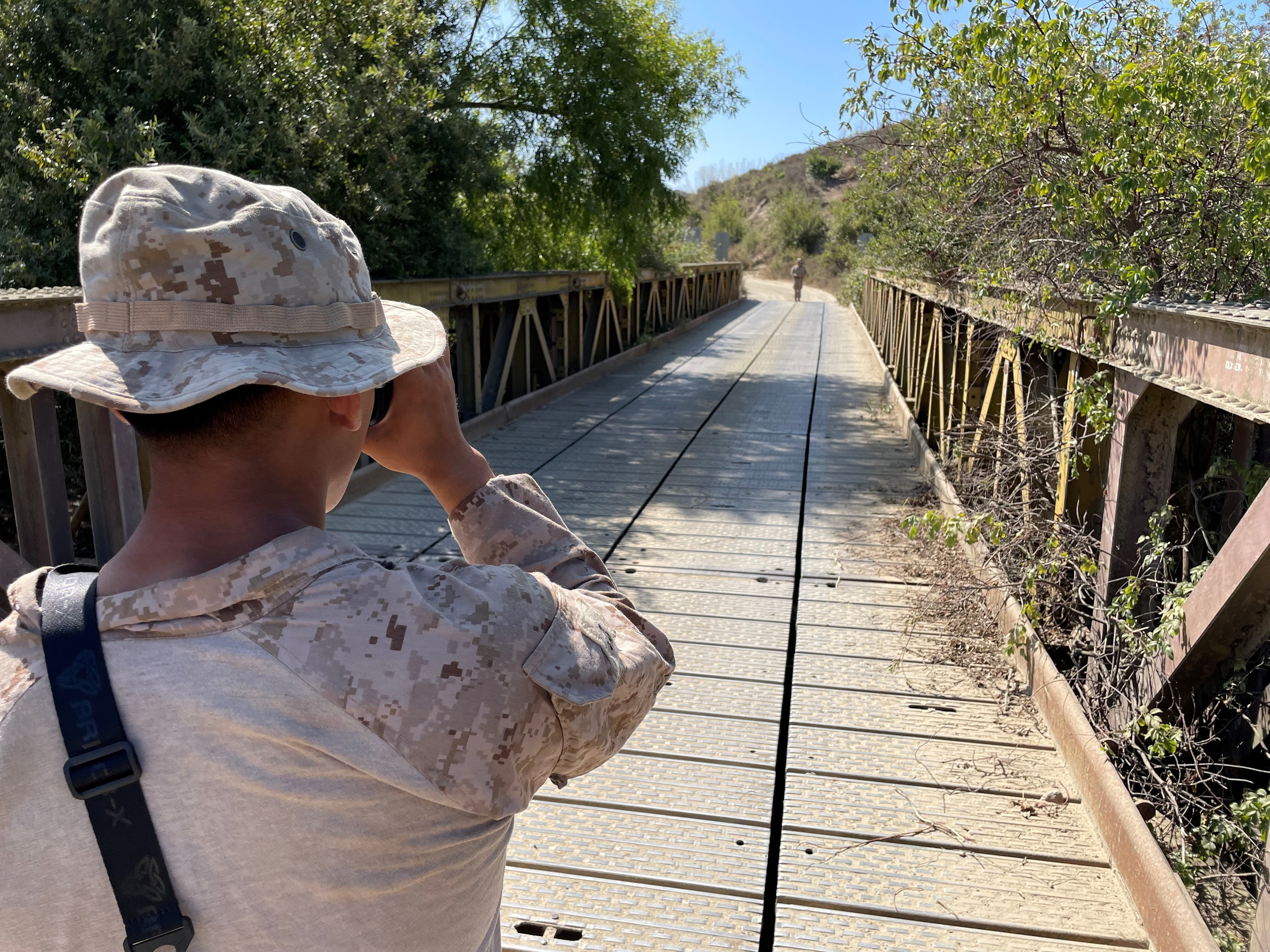
The PD CTIS ENFIRE team completed 11 objectives at TCE 24.2 by working closely with Marine combat engineers and other technologists. ENFIRE’s technologies assisted Marines in mapping helicopter and beach landing zones, roads, and bridges.
“The ENFIRE team's involvement in the TCE 24.2 is essential, as it not only trains current users but also paves the way for future capabilities across various integrated systems,” Kim said.
Colonel Kenneth J. Frey, Director, Maneuver Support Capability Development Integration Directorate, explained why the Army and Marines use ENFIRE in their operations.
“Since Army and Marines operate as land forces, they both get utility from the {ENFIRE] kit,” Frey said. “This is a great example where one service can develop a capability and another service adopts it, vice generating a separate development program.”
The benefits of two branches of the Armed Forces sharing a technology extend beyond the battlefield.
“Ultimately this saves the Department of Defense [and taxpayers] money,” Frey added.
Jerord Wilson, Deputy Project Manager, Terrestrial Sensors, said TCEs like the one at Camp Pendleton provide an opportunity to test and improve equipment that supports Soldiers and Marines.
“In my opinion, the importance of holding a TCE is the ability to showcase emerging technologies to counter current threats to our force,” Wilson said. “Tests and evaluations can prove out a concept that could save lives in the future.”
By employing ENFIRE in live action scenarios like the Camp Pendleton TCE, PD CTIS engineers can efficiently elicit feedback from the Marines to directly inform improvements to the technology for the Soldier.
Jeremy Wasson, PD CTIS ENFIRE Technical Lead, described the benefits of working with Marines as they integrate ENFIRE with different technologies.
“We want to go out there in an environment where we have other technologies that we can either bounce off of, or incorporate them or feed them, with engineer reconnaissance data,” Wasson said. “We are also armed with literally a platoon of Marines that come work with our technology, exploit it, and shoot holes in it.”
PD CTIS provided daily ENFIRE kit training to the Marines’ 1st Combat Engineer Battalion and 7th Engineer Support Battalion during the 10-day TCE. With the training, Marines employed the technology in different settings that elicited data for PD CTIS to process.
One such example concerned collecting and processing Light Detection and Ranging (LiDAR) readings that can be leveraged to create georeferenced point cloud datasets. This is essential to provide terrain maps to Marines and Soldiers. Results generated from this process help build out future iterations of ENFIRE LiDAR hardware configurations to establish a more secure payload.
Wasson explained TCEs offer opportunities for PD CTIS to collaborate not only with Marines, but with engineers representing other technologies leveraged at the event.
“Other technologies are exposed to us, and we are in a state of constant learning which I think helps people ask to see how we can share our data between the systems,” Wasson said. “Those relationships have grown over the years.”
Wasson noted PD CTIS strengthened ties with Georgia Institute of Technology engineers at TCE 24.2 for possible collaboration on LiDAR processing for ENFIRE.
Cory Baron, Product Director, CTIS, drove home the importance of TCEs for improving ENFIRE and other technologies.
“Across the board with any of these types of exercises, the ability to vet and get good data, to see how systems pass or fail, to see the modernization priorities, is priceless,” Baron said.
Social Sharing