
MAUI, Hawaii — When large-scale emergencies occur, a multitude of governmental and nongovernmental organizations at the local, state and federal level respond to assist victims.
Each entity collects and analyzes disaster-related information to plan and execute their emergency response efforts. For U.S. Army Corps of Engineers commanders and first responders, the value of information far exceeds the size of the petabytes of server space on which they’re stored.
USACE cartographers and geographers who work with geographic information systems meet information demand by compiling data and converting it into a visual product that provides insight for decision-making. Using a platform called USACE Common Operating Picture, or uCOP, they collect information from various sources and import or reference it to develop a visualization.
“uCOP is the delivery platform for GIS visualizations and reporting for FEMA response mission assignments including each [mission assignment] identified for Maui recovery,” said Nate Eskridge, a geographer and cartographer from the USACE Sacramento District who is serving as a GIS subject matter expert for the debris planning and response team assisting with the Hawai’i wildfires. “Whether it’s temporary power, infrastructure assessment or debris removal, GIS technology helps decision makers make better decisions more quickly. We’re able to distill large amounts of data into actionable information.”
For commanders, the value of actionable information is immense as they frequently receive requests for information from the Department of Defense, the Federal Emergency Management Agency, local governments, the public and Congressional delegations.
“It’s true that a picture is worth a thousand words, and when you have GIS specialists, like we do in the Corps helping us out, it’s very easy to communicate internally to the Corps of Engineers, externally to FEMA, DOD, the public and the Congressional delegations, and they make the job much easier,” said Lt. Col. Ryan Pevey, USACE Honolulu District commander. “Our GIS professionals in the corps are top notch. They have to learn almost every aspect of the mission. They are critical to the success of a mission because they can gather data from other agencies, build bridges and create that common operating picture so that commanders can make decisions for everything that’s happening on the ground.”
In grade school, children learn a noun is a person, place or thing. In GIS, professionals connect that person or thing to a place. GIS connects the who, what and sometimes when to the where, and the result may answer the why.

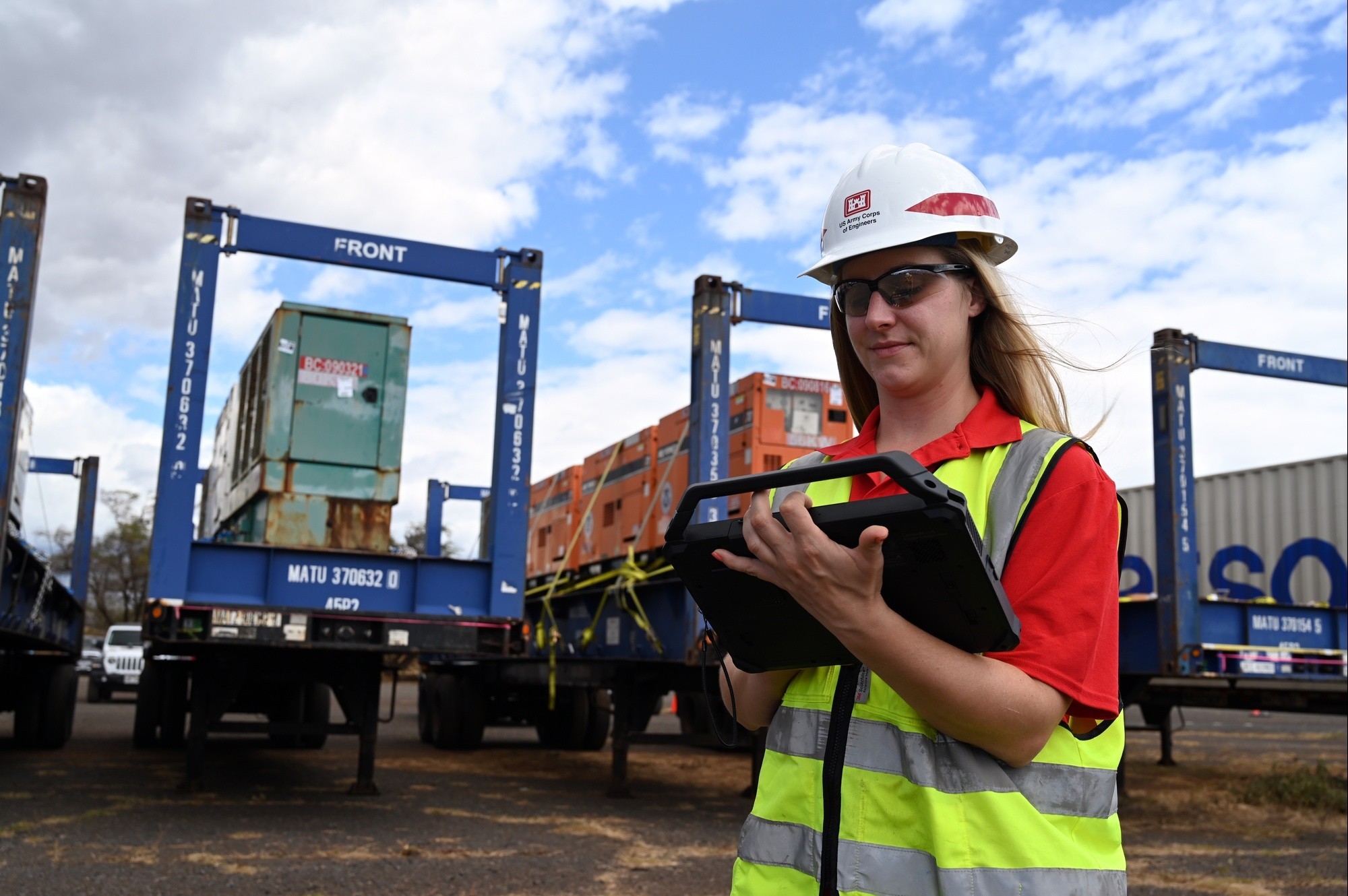
“GIS is taking non-spatially referenced information and making it spatial,” said Jennifer Kist, a GIS subject matter expert from the USACE Charleston District. Kist has been on Maui working with the Honolulu District’s temporary emergency power team and GIS professionals at the Honolulu District since Aug. 14. During that time, she has developed and refined products to gather data and track information about the FEMA generators the power team manages during temporary emergency power missions.
Honolulu District GIS Subject Matter Experts Sarah Falzarano and Elizabeth Ryan stood up the common operating picture for this event and Kist, Eskridge and others have added to it and improved upon it as the response has unfolded. The Honolulu District SMEs leveraged their knowledge of local data sources and relationships with providers such as Maui County and Kist leveraged her knowledge of working on other temporary power missions with FEMA. According to Eskridge, Kist’s initial and current efforts for the temporary power mission, which started first, facilitated future products for the debris mission.
In an information economy, USACE geographers and cartographers meet this information demand, not through buying or selling of goods, but through the sharing of information.
“Kind of the unofficial motto is ‘sharing is caring’ and really, sharing is not just caring to the individual, but sharing is caring to the mission and to the corps. Sharing is one of the things that makes us more efficient,” said Jacob Rothberger, a senior GIS analyst from the USACE Fort Worth District who is working with Eskridge in support of the debris mission.
When team members conduct data validation or monitor contractor activities, they can enter information about on-the-ground observations using mobile devices. Using an application called Survey123, they can instantly provide important safety and site-related information to the uCOP.
“The whole point of the Survey123 is its technological capability and its ease of use in comparison to the analog alternative,” said Eskridge. “Before Survey123, they’d have to print out forms or use scratch paper and write all this out then they go back to the office and transcribe it. This mitigates all that. It’s all digital and goes straight into the database, goes straight into a visualization.”

The USACE develops common operating pictures for commanders using information from the application as well as local, state and federal agencies and non-governmental organizations. Crockett and Rothberger came to Maui from the Fort Worth District, USACE to support the emergency response to the Aug. 8 wildfires on Maui. The Debris Planning and Response Team is working with partners to evaluate courses of action related to private property debris removal operations and community engagement planning. VIEW ORIGINAL

The USACE develops common operating pictures for commanders using information from the application as well as local, state and federal agencies and non-governmental organizations. Crockett and Rothberger came to Maui from the Fort Worth District, USACE to support the emergency response to the Aug. 8 wildfires on Maui. The Debris Planning and Response Team is working with partners to evaluate courses of action related to private property debris removal operations and community engagement planning. VIEW ORIGINAL
According to Rothberger, information sharing has become significantly easier because of platforms like uCOP and applications used to feed it data. Quality assurance representatives only need a mobile device with network connectivity to enter information into the application that is then available to commanders and other team members in real time.
“There’s two problems with the old way of transcribing information from a piece of paper. One, is it takes way more time, so it’s less efficient, and there’s potential for error when you’re transferring that paper into a spreadsheet or whatever was used to record it,” said Rothberger. “That’s why we say using Survey123 is a more efficient and more accurate way of sharing data because we’ve mitigated some of those things that were using up time and causing the potential errors.”
Although technological advances have reduced time and labor associated with data gathering and sharing, the practice of making non-spatially referenced information spatial to gain understanding and make decisions has been used by USACE engineers and epidemiologists for decades, if not centuries.
USACE employed geographers and cartographers to develop lithographs to identify sites for dams, levees and other civil works infrastructure in the 20th century.
In 1854, the London physician Jon Snow helped end a cholera epidemic in the London suburb of Soho by using a map with gridlines drawn on it and plotting victims’ residences. He interviewed community members and victims’ families to identify their drinking water source and created a visual representation of the outbreak. Using this geospatial data, he convinced the local council to remove the handle from the Broad Street water pump, which he suspected was the source of the outbreak. His work helped promote germ theory, which was not widely accepted at the time.
As technology advances, and information collaboration becomes more prevalent, the possibilities for employing GIS to provide insight are endless. Still, a place remains for the tactile products and tools.
In the case of the debris planning and response team, printed maps are still a valuable tool. Before sending a team out to conduct data validation, Rothberger provided the team with printed maps of the area. According to Eskridge, it was the “old school” thing to do, and it’s a practice that should never go away.
“They had a phone and we provided them a digital map, but we know, because we went out to Maui, that there’s spotty connectivity. So, we printed them so they can have analog maps on hand to navigate as well,” said Eskridge. “That’s part of a geographer, cartographer’s job is to make sure there’s a backup to digital. That applies to just about every scenario, whether you’re out in the field or you’re back in the recovery field office, there should be maps on the wall in case the electricity goes out.”
Social Sharing