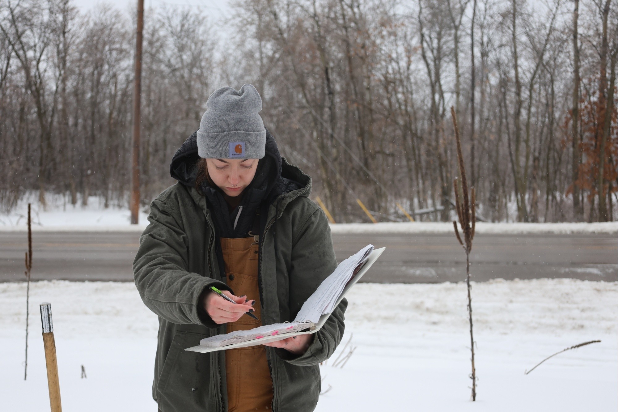
Despite freezing rain and bone-chilling temperatures, St. Paul District survey technicians forged ahead to complete their annual snow surveys. New survey technicians Cheyanne Carlin and William Long, drove an hour on slick roads from Hastings, Minnesota, to Forest Lake, Minnesota, to begin their week-long journey around the state, Feb. 27.
Carlin and Long are one of two teams snow surveying around the district’s area of responsibility. The two teams cover about 100 snow survey locations.
“This is vital information that we provide to our partners and the water management section, so we are prepared for the spring melt,” Long said.
Surveys are also completed by park rangers in the Mississippi River Headwaters region and western area reservoirs at about 200 additional locations. This information assists the district’s water management officials in determining how much water is contained within the snowpack. This information is shared with other agencies, such as the National Weather Service and the U.S. Geological Survey, and helps determine what steps to take to reduce flood risks across the region.
The snow survey process involves going to a predetermined location, collecting snow through a tube and weighing the collected snow sample to determine how much water is contained within the snowpack, using a mathematical formula.
Every year, floods sweep through communities across the United States, taking lives, destroying property, shutting down businesses and causing millions of dollars in damage. The Corps assists communities in building projects that reduce risk from floods while managing several reservoirs designed to reduce excess flooding. Additionally, the Corps assists states in reacting to floods when the response required exceeds a state’s capabilities.
-30-
Social Sharing