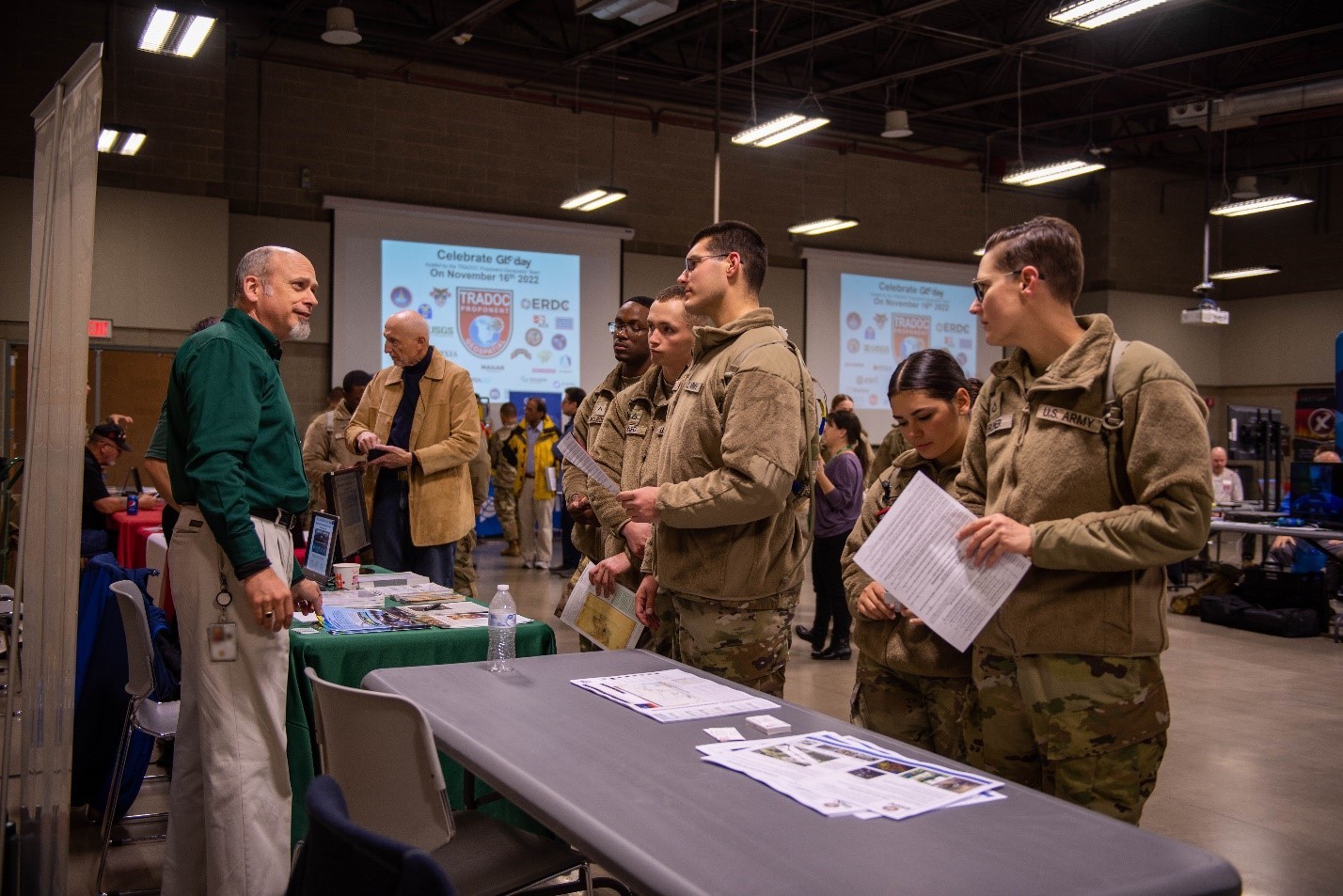
FORT LEONARD WOOD, Mo. — Hundreds of students, surveyors and geospatial engineers joined the U.S Army Training and Doctrine Command Proponent-Geospatial team and more than 25 academic and industry experts to highlight the worldwide impact of geographical information systems during a GIS Day celebration Wednesday at Danner Hall.
“Everything that happens on the earth is tied to a location, and we just can show that in really cool ways,” TPO-Geo Director Col. Chad Ramskugler said. “Whether it’s above the earth, or below the earth or underwater, it’s wherever you want to be. It’s this team that shows you how to get there.”
Every year, geospatial professionals across the globe rally around cutting-edge GIS technology, said Geospatial Development Officer 1st Lt. Zachary McBride, who helped organize the event.
“Our intent was to inspire engineer Soldiers, and instill greater comradery and pride in their profession, and encourage them to think big about the Army’s geospatial future,” he said.
Events like GIS Day provide a one-stop shop for organizations looking to reach a large variety of engineer Soldiers and network with the companies whose equipment they rely on in their day-to-day duties, said Spc. Warren Watkins, with the 75th Ranger Regiment’s Regimental Military Intelligence Battalion, whose group came here from Fort Benning, Georgia, to talk to engineer Soldiers about career paths available to them in military intelligence.
“Our primary mission here was to recruit geospatial engineer Soldiers, and we received a lot of interest,” he said. “It’s also great to network with some of the companies we work with as far as their software and get to meet them and explain our mission set and how they can help, and maybe reach out to further our capabilities using their software and systems.”
Networking was a key part of the event, according to Tony Buster, a geospatial program analyst with TPO-Geo.
“We brought in folks from across the industry to interact and learn new ways of broadcasting, capturing and sharing the data we collect from various sources to make it something that is coherent for the warfighter,” Buster said. “Some of the conversations that took place today helped people realize there’s a lot that goes on behind the scenes.”
Ramskugler said he hopes the Soldiers in attendance took away a sense of the power and technology behind their tradecraft.
“We’re specifically targeting surveyors and geospatial engineers, but also want to show the officers who could manage any one of those particular areas in the future that they’re tied into a global effort of mapping and charting the whole world and have access to that kind of information at their fingertips,” Ramskugler said.
Understanding the use of GIS in the Army is important because the way it supports the overall Army mission is great, and it won’t be going anywhere soon, Watkins said.
“Most people think about boots on the ground and going into combat, but there’s so much that has to be done before that,” he said. “Most of that is done with geospatial analysis. It’s very important, and it’s growing.”
Social Sharing