AUSTIN, Texas – Geospatial intelligence experts convened in Aurora, Colorado, last week for the annual GEOINT Symposium, hosted by the United States Geospatial Intelligence Foundation.
Multiple Army leaders, including representatives from Army Futures Command, attended the event to speak about the importance of GEOINT within an Army modernization context.
“We’ve got to be able to see farther, sense farther, target faster, process mission faster to deliver the kind of lethality at the scale and speed that the Army’s going to need in future conflict,” said Maj. Gen. John Rafferty, Director of Army Futures Command’s Long Range Precision Fires Cross-Functional Team.
According to Rafferty, “geospatial intelligence plays a huge role” in enabling these operational goals.
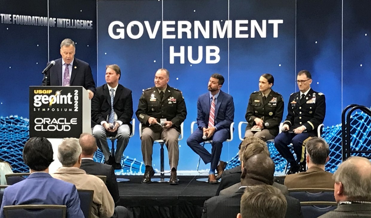
Rafferty and colleagues from Army Futures Command, the Office of the United States Assistant Secretary of the Army for Acquisition, Logistics and Technology, and the Army G-8 participated in a Monday panel – titled Army Modernization – that provided insight into what the Army anticipates future battlefields will look like, as well as what Soldiers will need to succeed in high-tech, high-stakes operating environments.
“The Army will clearly fight differently than we do presently,” said Ed Mornston, Director of Intelligence and Security at Army Futures Command, of the nature of future warfare, which will likely be defined by rapid advances in technology and more fast-paced, lethal and widely dispersed fighting.
In an operational environment rich with sensors, small robotics, drones and other next-generation apparatuses that require enhanced support for precision sensing and maneuver, “the applications from a GEOINT perspective are absolutely critical,” added Brig. Gen. Stephanie Ahern, Director of Concepts at Army Futures Command’s Futures and Concepts Center.
Panelists highlighted how GEOINT developments are informing warfighting preparations while also evolving the threat landscape. Finding ways to evade detection in a battlefield marked by increased visibility on the ground, in the air and in space is a significant challenge, for example, as is navigating a new era of machine warfare.
“We have to start planning now for how things will be different,” Ahern said. She explained that Army Futures Command is developing and testing concepts with many partners to ensure the Army has the best understanding possible of potential operational scenarios, specifically those involving Multi-Domain Operations.
GEOINT technologies used by the Army help operators and decision-makers navigate challenging terrain, locate and visualize distant threats, and communicate across long distances and in degraded environments. As GEOINT capabilities progress, so will the Army’s ability to detect and respond to adversarial actions.
One key GEOINT technology under development is the Tactical Intelligence Targeting Access Node (TITAN), a maneuverable platform that will use artificial intelligence and machine learning to draw and analyze data from sensors distributed across all layers, providing the Army with heightened situational awareness. Other areas of growth include automatic target recognition and deep sensing abilities.
The Army regularly conducts experimentation in Europe and the Pacific to assess the field utility of novel GEOINT technologies. The experimentation includes measures to ensure that the information infrastructure is highly adaptive, data can be transmitted across low-bandwidth areas effectively, and equipment prototypes meet end user needs as well as rigorous operational demands.
This year’s signature modernization experiment, Project Convergence 2022, will also test numerous GEOINT capabilities to determine their suitability for future warfighters.
These experiments and incremental advances in geospatial intelligence are critical to ensuring the Army maintains a strong competitive advantage over adversaries.
“Our modernization efforts are necessary to ensure that we achieve overmatch against strategic competitors, who continue to enhance their capabilities for challenging our Army, our Joint Force and our Allies,” Mornston said.
--
To view a full recording of the Army Modernization panel session, visit https://vimeo.com/703052961.
Social Sharing