TULSA, Okla. — First held on November 19, 1999 in conjunction with Geography Awareness Week, GIS day is a worldwide event that celebrates the technology of Geographic Information Systems. This year Geography awareness week is November 15-19, and National GIS day was celebrated on November 17
According to The United States Geological Survey, a Geographic Information System is a computer system that analyzes and displays geographically referenced information. It uses data that is attached to a unique location.
The U.S. Army Corps of Engineers Tulsa District Geospatial Management Section was established under the Engineering and Construction Division, Engineering Design Branch in 2018 with Dr. Dan Hernandez as supervisor. The section moved to the newly created Infrastructure Branch in 2019. Geospatial Management Chief, Tammy Piazza took the helm after Dr. Hernandez took a position at the USACE Southwestern Division Office in Dallas, Texas.
Headquarters USACE has recognized the most successful Enterprise Geospatial Information and Services programs have a geospatial section or branch to centralize the standardization and organization of geospatial data and the development of geospatial applications. According to Piazza, this can prevent duplication of efforts, redundant storage of shared datasets, unnecessary data acquisition, and risk of incorrect data being used to inform decisions. Benefits also include streamlined technical support, enhanced quality controls, efficiencies in data management, standardization, and releasability, as well as workload-leveling and cross-training amongst personnel.
Piazza says prior to the establishment of the Section, Tulsa District did not have a centralized model to manage the program,
The purpose of the GIS section is to leverage resources across business mission areas to maximize efficient use of infrastructure, technology, data, and personnel for the Tulsa District EGIS program. The group serves as the liaison between the district, the division, and HQUSACE for geospatial issues and manages district licenses and accounts for software products.
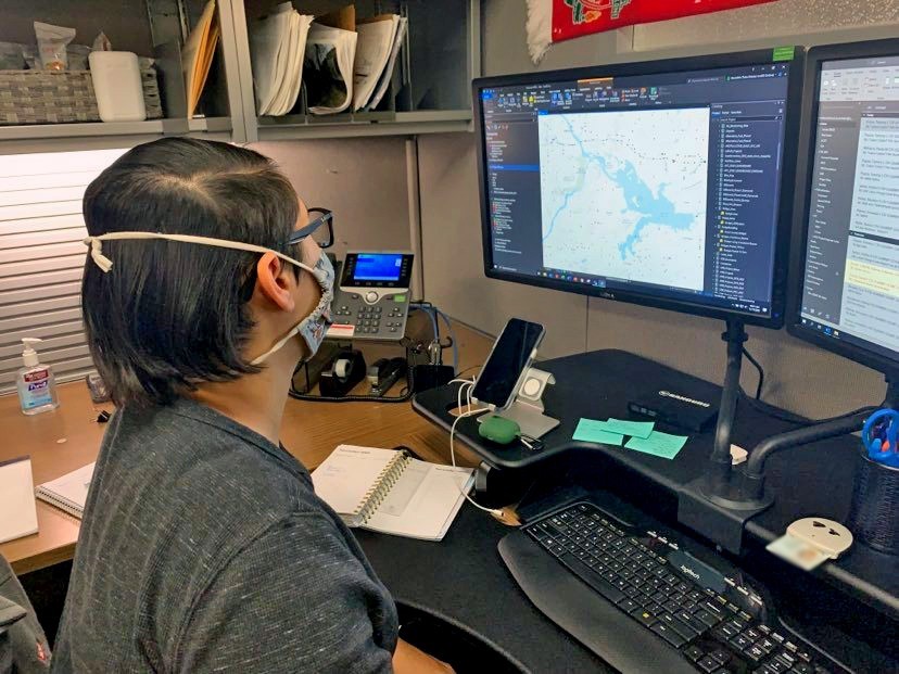
Real Estate cartographer Cory Bowlin worked as a park ranger for almost ten years before following his passion of GIS into his current position as real estate cartographer.
“GIS is at the core of my job, but with a heavy focus on real estate GIS” said Bowlin. “As a real estate Cartographer my job is to map the land. It is my responsibility to map USACE's land assets and assist with any other real estate related survey and mapping missions for civil works projects, military installations, and nationwide support for Air Force through the USACE Air Force Project Management Office.”
“The old adage a picture says a thousand words is definitely a good parallel to what we do” said Geospatial Analyst, Meredith Summers. “A map tends to focus on the where, but GIS takes data and explains the what behind the where.”
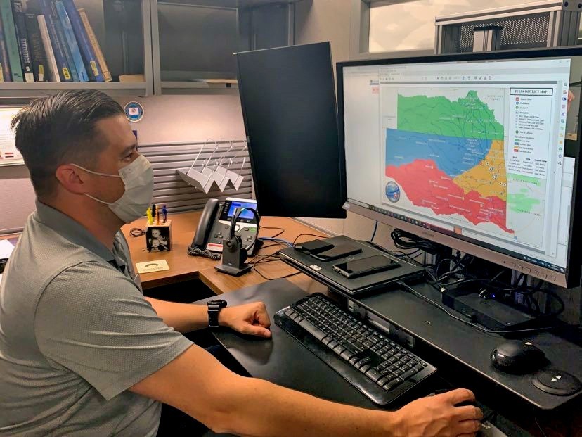
“GIS covers everything from creating beautiful cartographic maps for print to interactive, online maps” said SWT Geospatial Manager Wesley Street. “Data integrity and standards are becoming more and more important every year, so an understanding of databases is important as well as creating process documentation.”
Levi Wagoner, assistant lake manager from Eufaula lakes sees the importance of the technology from a lake office perspective. “At our lake offices, GIS allows us to view, understand, question, interpret, and visualize data within our public use areas and the government boundary,” said Wagoner. “This happens with maps, reports, and charts that become very useful when we are asked questions by a stakeholder. GIS helps us answer questions and solve problems by looking at our data in a way that is quickly understood and easily shared. GIS supports us in managing our shoreline program. We can easily view our data in GIS and tell a stakeholder if they can or cannot receive a permit to be able to install a private floating facility or mow government property. This availability of data at our fingertips is valuable, as it allows our workforce to be efficient and accurate from their desk.”
Social Sharing