FORT LEONARD WOOD, Mo. — Fort Leonard Wood’s U.S. Army Training and Doctrine Command Proponent Office – Geospatial, or TPO-GEO, is hosting a Geospatial Engineer Working Group this week, where Army geospatial experts from around the world are discussing the current geospatial climate and working to solve current issues.
According to Lt. Col. Brian Dodd, chief of geospatial engineering at the TPO-GEO office here, one of the main issues facing the geospatial community is figuring out how best to organize vast amounts of collected data in such a way that it is more accessible to the individuals and organizations requiring it.
“Geospatial data is notoriously large — they’re very large files,” he said. “When a Soldier in the field collects data, we need a central place at the national level where people can go and pull that data back down. It’s a problem we struggle with in the Army because we have so much data. How do we organize it? How do we ensure we’re not duplicating efforts? We’re bringing in the experts from all these geospatial units all over the world to sit down together and try to solve that problem.”
Dodd said the intent of the working group was to bring in a wide collection of attendees — from young Soldiers and seasoned noncommissioned officers to warrant officers and officers — to gather inputs from as many levels of the organization as possible. To support these complex discussions, members from National Geospatial-Intelligence Agency, Army Geospatial Center and the U.S. Army Corps of Engineers Engineer Research and Development Center are also in attendance.
“You have a wide gamut in the geospatial community, and each person brings their own expertise and background,” he said. “So, the warrant officers — our technical experts — might bring a solution, but then the NCOs might say that solution is too difficult or onerous to use, and then the officers might say, ‘How is that going to work in the larger, command and control of the Army?’ You hope the combined knowledge of everyone can help solve the issues.”
One of the attendees, Maj. Jessica Wayment, 64th Geospatial Planning Cell detachment commander at Fort Bragg, North Carolina, said the value of bringing experts together in-person cannot be overvalued.
“In an in-person group setting, the conversation just flows a lot more naturally,” she said. “A lot of us, we like to get up and write on a white board and that’s kind of difficult to do in a virtual setting.”
Wayment compared brainstorming to putting together a jigsaw puzzle.
“You have little pieces here, little pieces there, and when you bring it all together you can start to see the whole picture, the solution,” she said. “If one person has a problem and nobody else has that problem, it’s intrinsic to that organization, that unit. But if I have a problem, and other units have the same problem or a similar, adjacent problem, it may be systemic to the geospatial force overall, and that’s what coming here is identifying. There’s no such thing as too many cooks in the kitchen when you’re tackling a problem like this.”
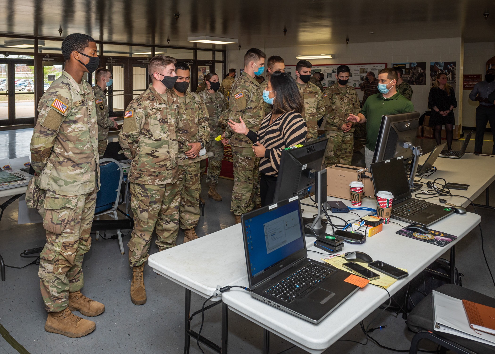
The group also took time Wednesday to celebrate GIS Day at Brown Hall. Short for Geographic Information System, GIS Day is celebrated by the worldwide geospatial community each year, and provides an opportunity for the geospatial community and some of its industry partners to demonstrate GIS capabilities and their military applications for the Fort Leonard Wood community.
One of the GIS Day event organizers, 1st Lt. John Fangmeyer, a geospatial development officer at the TPO-GEO office here, said the concept this year involved trying to widen the audience, including inviting more trainees and other professional military education students here.
“That’s a big audience that you want,” he said. “You don’t just want geospatial professionals who already know a lot of these people and know about a lot of this stuff already. I think we’re doing a lot to educate people who may not have had any exposure to geospatial before this.”
Getting the word out on what geospatial capabilities bring to the fight is important, Dodd added.
“A lot of the technology here — the virtual reality, the 3D — these are things that our newest Soldiers are going to experience in their career,” he said. “If they stay in, they are going to see this stuff, so we wanted to make this as open and accessible to them as possible.”
Social Sharing