Ken Bergman (left), Army Geospatial Center liaison, speaks with Soldiers Wednesday at a Geographic Information System Day event at the first floor atrium of the Maneuver Support Center of Excellence building. The U.S. Army Training and Doctrine Command Proponent - Geospatial team hosted the event, which provided an opportunity for the Fort Leonard Wood community to engage with Army geospatial Soldiers and industry partners to learn about GIS capabilities and their military applications.
(Photo Credit: Photo by Brian Hill)VIEW ORIGINAL
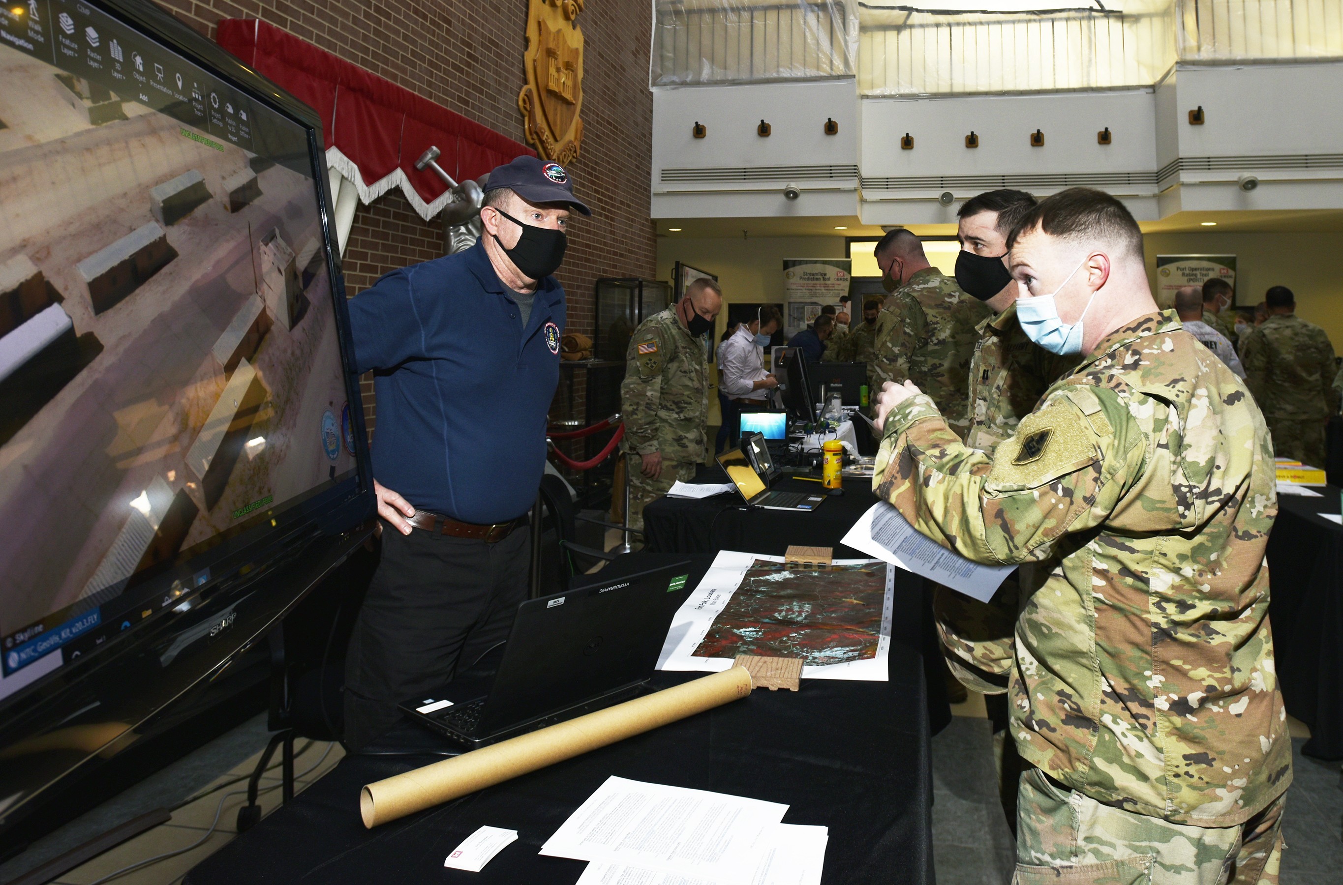
FORT LEONARD WOOD, Mo. — Ken Bergman (left), Army Geospatial Center liaison, speaks with Soldiers Wednesday at a Geographic Information System Day event at the first floor atrium of the Maneuver Support Center of Excellence building. The U.S. Army Training and Doctrine Command Proponent - Geospatial team hosted the event, which provided an opportunity for the Fort Leonard Wood community to engage with Army geospatial Soldiers and industry partners to learn about GIS capabilities and their military applications.
Social Sharing