
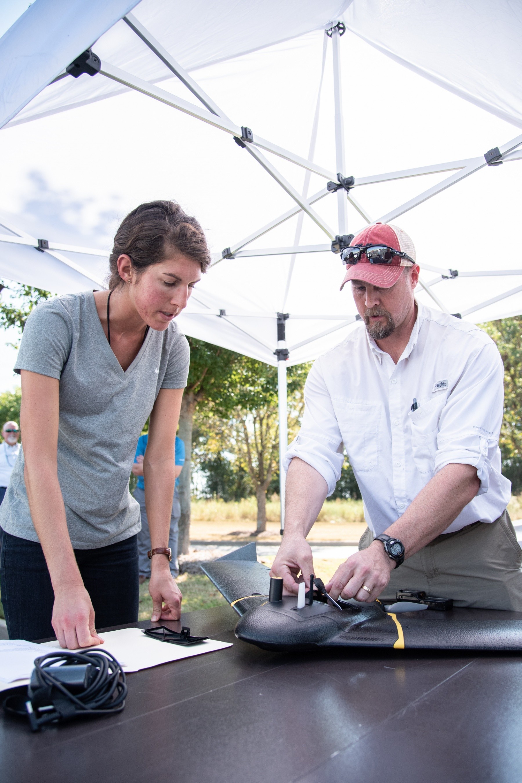


HUNTSVILLE, Ala. -- The U.S. Army Engineering and Support Center's newly acquired unmanned aircraft system took to the skies for its first formal set of survey flights Oct. 1.
The tests were a step toward creating a safer, more-efficient way for the Army to gather high-resolution photography and mapping data for potentially any of the center's 40-plus programs and the thousands of missions it executes around the globe.
"Our goal is to utilize it to make us more efficient in how we collect all types of engineering data, specifically surveying data and topographic data," said A. Wade Doss, chief of the Civil Structures Division in Huntsville Center's Engineering Directorate. "We'll be able to fly simple missions and produce 3D models."
The unmanned aircraft system, or UAS, can also serve as a stand-in when an area or situation poses too many hazards for humans to safely gather this data, said Ryan Strange, research physical scientist with the U.S. Army Corps of Engineers' Aviation and Remote Systems Program and Huntsville Center's Unmanned Aircraft Systems Site Development Branch.
"If somebody wanted to detect [unexploded ordnance] or look at something when the zone was red hot, we can't send a human in there because of safety issues," Strange said. "We can surely send a drone to look at something close up or monitor a specific project that's going on at that time.
"We don't have to put a human being somewhere where he or she shouldn't be," Strange added. "If we wanted to access specific areas without human interaction, we can do that with the UAS."
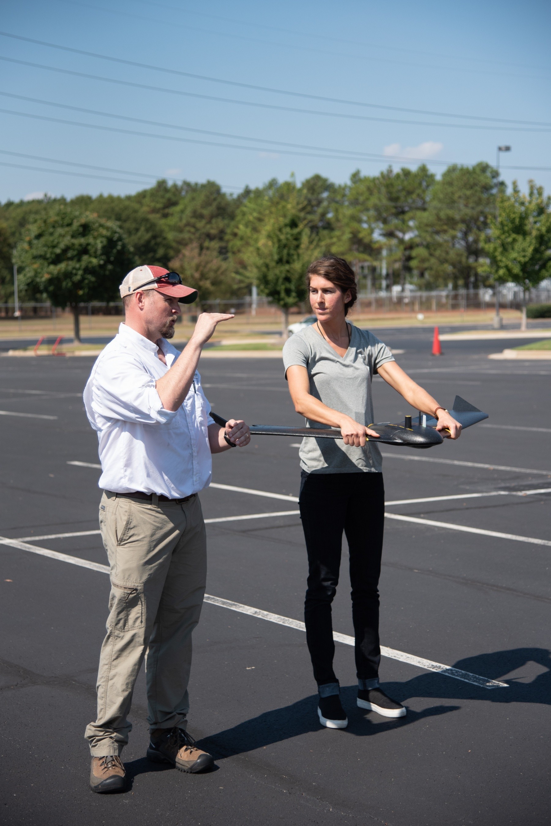
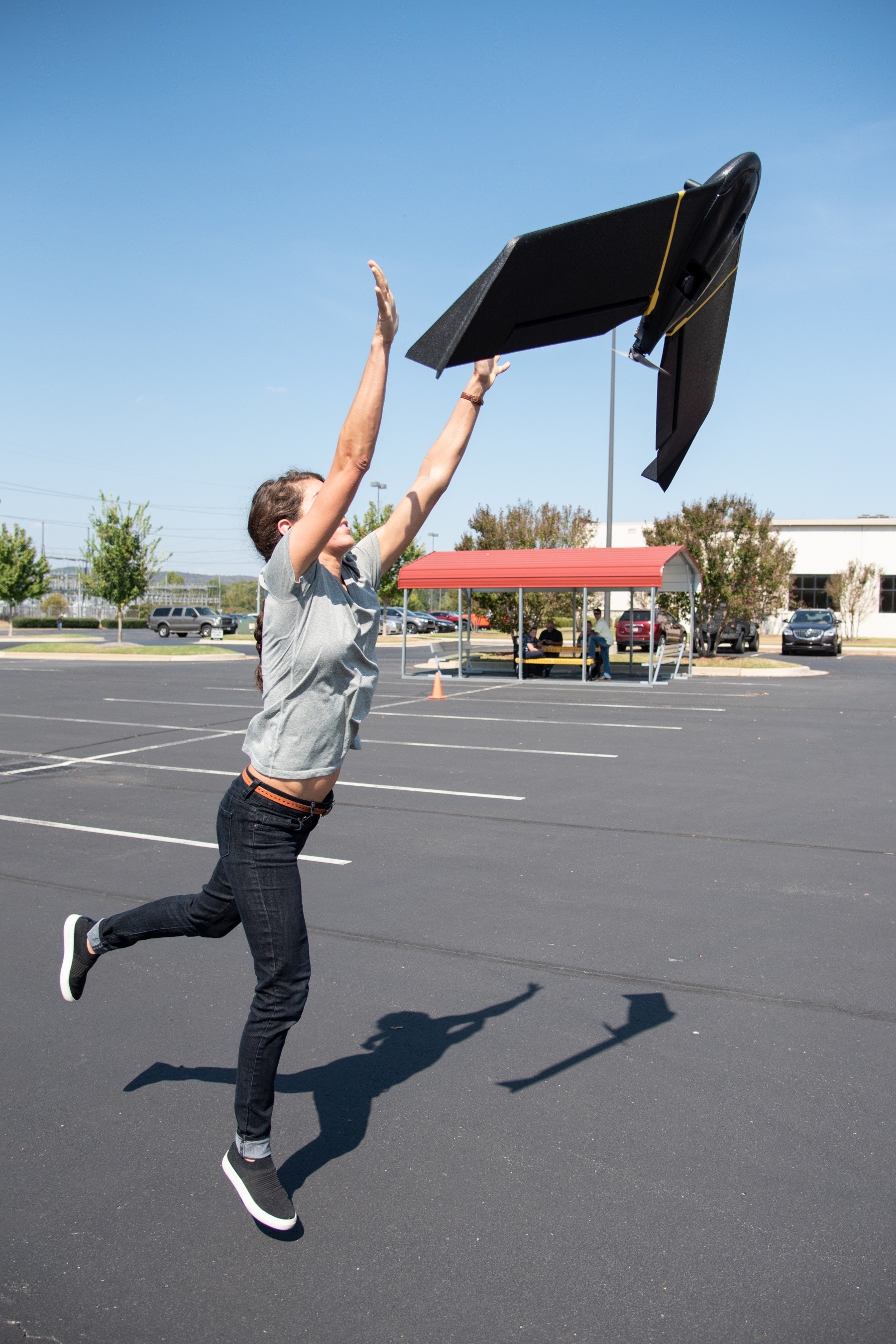
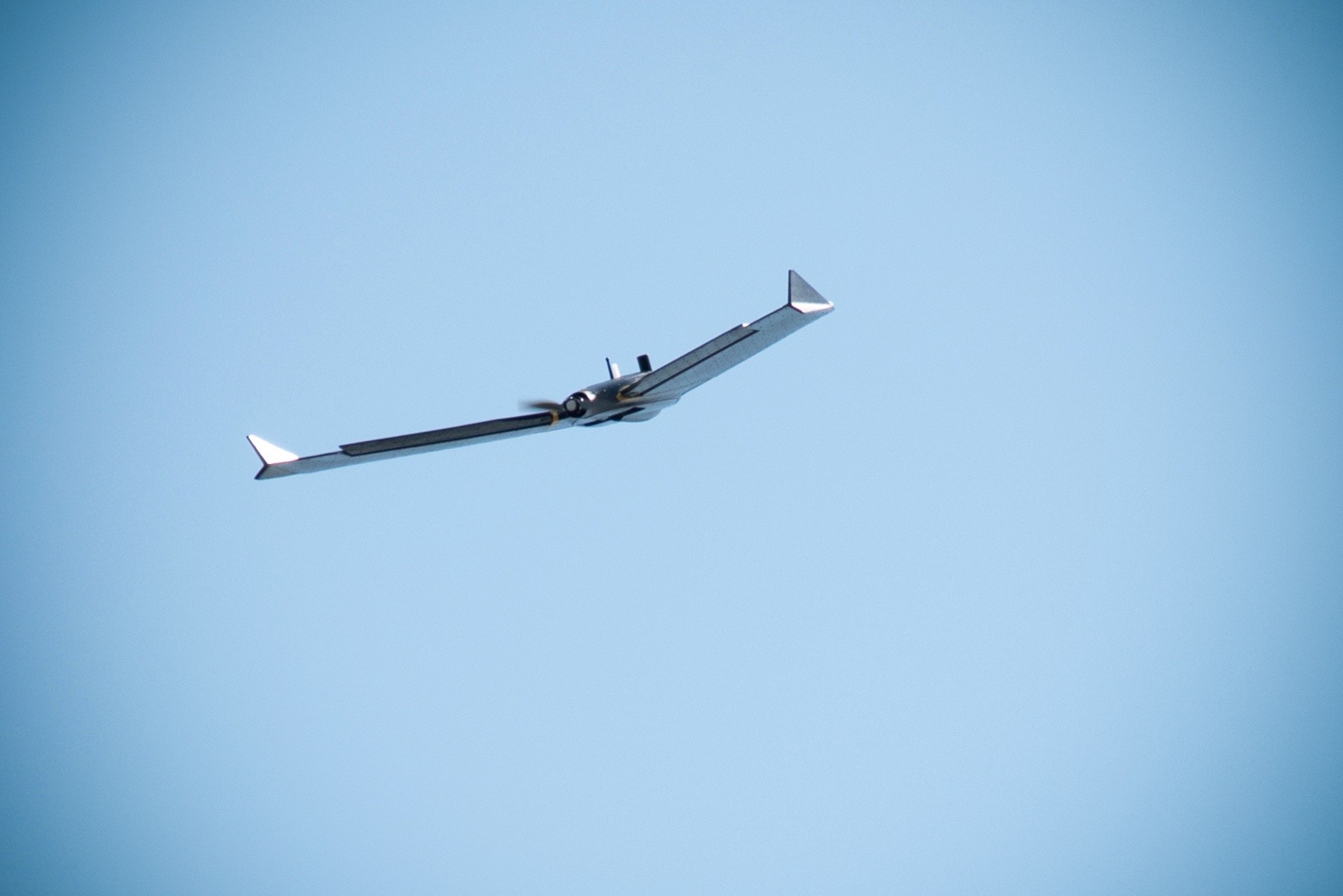
This particular system is a commercial off-the-shelf model called the senseFly eBee X. The fixed-wing configuration allows it to cover larger areas in a shorter amount of time than, say, a quadcopter.
"We'll be able to cover these 22 acres in about 10 minutes," Strange said before the initial Oct. 1 survey flight.
"This is just like flying a real airplane, almost," Strange said. "You've got to have a pilot's license, [Federal Aviation Administration] approval, you've got to know your airspace and do's and don'ts. We're working on getting all that put in place, and then hopefully we want to transition quickly into providing engineering products and services using these unmanned aircraft systems."
Strange said that although the process of drawing up a mission plan and taking off is still complex, it's become markedly easier in the last several years.
"Today, with the USACE Aviation and Remote Headquarters Program, we can fly in as [little] as 24 hours," Strange added. "And, if we're doing an ESF - Emergency Support Function - we have abbreviated mission plans where, based on the pilot's maturity and experience, he or she can fly almost immediately."
In the meantime, Strange said he and the other members of the site development branch team are working to ensure they have all of the correct processes and approvals locked down before officially incorporating the system into any of the Center's projects.
"In my opinion, all of them," Strange said. "A lot can be done in energy, site development, construction, change detection and ranges. If we do work out on the levees, we can do linear corridor mapping. The ability to use these UASs and have them in our toolkit is just outstanding."
Social Sharing