WASHINGTON -- The updated National Levee Database, maintained and published by the U.S. Army Corps of Engineers (USACE), is now available for public access. The NLD is a congressionally-authorized database that documents levees in the United States. It recently underwent a refresh making more tools available to data managers to keep information updated and provides an improved dashboard that makes finding and understanding levee information easier than ever. NLD information includes the location, general condition, and risks associated with the levees.
"The National Levee Database is a public view into the information that builds understanding of the benefits and potential risks levees pose for the communities in which they exist," said Eric C. Halpin, P.E., USACE deputy dam and levee safety officer. "The database now contains levee information within the USACE program, FEMA, and other states and federal agencies. We continue to work closely with additional federal, state, and local agencies and tribes to include the information about other levees on a voluntary basis."
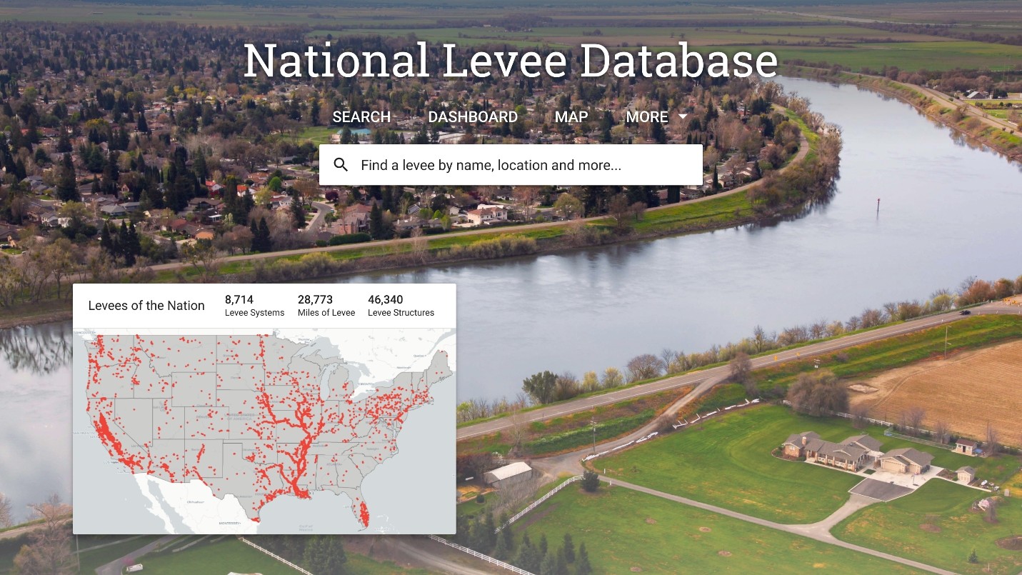
The NLD contains information about the condition and risk information for approximately 2,000 levee systems (approximately 15,000 miles/mostly levees affiliated with USACE programs. An additional 6,000 levee systems--approximately 15,000 miles--have location information, but little to no information about condition and risk. One of the goals for the NLD is to include data about levees owned and operated by all other federal agencies, tribes, states, municipalities, levee boards, and private entities. This information will be added as it becomes available.
The database includes attributes of levees and floodwalls relevant to flood fighting, design, construction, operation, maintenance, repair and inspection. Because the location and characteristics of levee systems can be viewed on a map with real-time data from other sources, such as stream gauges and weather radar, it is a useful tool for a variety of public agencies and individuals including flood plain managers, emergency management agencies, levee system sponsors and citizens who live or work behind a levee.
The NLD information is presented in a convenient dashboard and includes the ability to search on specific areas of interest or geographically.
Social Sharing