

DUGWAY PROVING GROUND, Utah -- By necessity, Dugway measures and records the weather within and around its 800,000 acres more than most places on the planet. Wind, temperature, precipitation, humidity and even lightning strikes are meticulously monitored and recorded by an array of instruments.
"We have a very unique meteorological system here," said John Pace, chief of the Meteorology Division at Dugway Proving Ground. "It's a combination of all of our systems, unlike any other place in the world."
Lead Meteorologist Erik Vernon concurs. "We've probably got the most densely meteorologically instrumented place in the world. The only other place that comes close is Kennedy (Space Flight Center, Florida)."
Dugway's primary mission is to test defenses against chemical or biological agents, a mission that requires very accurate weather forecasting on a small scale. To assist with this task Dugway recently installed four refurbished wind profilers. Previously, it had one. The combined network of five profilers provides detailed knowledge all across Dugway.
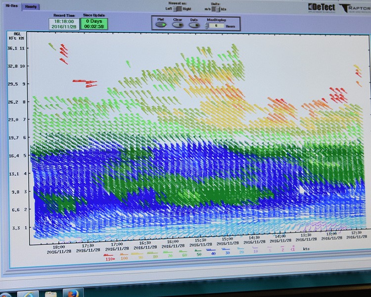
The added wind profilers look upward in a narrow, cone-shaped radar scan, revealing wind currents from near the ground to the upper boundary layer, generally less than 2 miles during the day to a few hundred feet at night. The older profiler scans higher, up to 5 or 6 miles.
"Understanding the boundary layer helps to provide better weather support," Pace said. "We can go back after the test and calculate what happened, then compare and more accurately interpret the results."
The same boundary layer is where simulants -- benign substances with characteristics that mimic actual agent -- are released to challenge detectors. Simulant releases are over small areas, sometimes only a few hundred meters.
"A lot of the tests here are more meteorology than anything else," Pace said. "It's so important to get the meteorology right."
Accurate weather forecasts are important anywhere, but even more so at Dugway. An accurate forecast can help a test officer avoid a bad time for simulant release, conserving resources and money.
Forecasting is also complicated by Dugway's geography -- wide, flat brush-covered or bare earth flats 4,300 feet above sea level, interrupted by north/south mountain ranges jutting as much as 3,000 feet above the flats. Winds encountering either area can quickly, and subtly, change direction, speed and altitude.
Simulants must be released under narrow meteorological conditions to obtain the best data from each test. Most dissemination is done at night, when the lower boundary layer keeps the simulant cloud close to the ground at optimum concentration. Daytime's rising warm air may quickly carry simulant 2 to 3 km above the ground, diffusing the desired concentration.
Instruments of many types, including weather balloons, may be used depending upon the type of test or activity. Data from instruments within and outside Dugway's border converges at Dugway's Meteorological Division, where it is often combined to reveal not only Dugway's weather, but approaching systems that may interfere or postpone operations.
The five wind profilers at Dugway, scrutinizing the boundary layer, join other meteorological instruments to scan the skies with greater accuracy to promote better-used resources.
Social Sharing