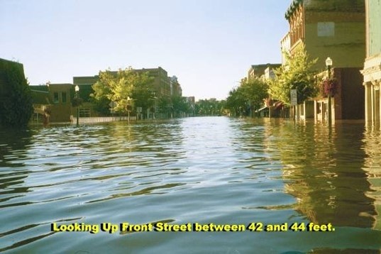
As an active member of the Ohio Silver Jackets team, U.S. Geological Survey (USGS) proposed the development of a flood inundation warning system for the Ohio River and Lower Muskingum Rivers in the vicinity of Marietta, Ohio. This proposal was selected as one of the eighteen original Silver Jackets pilot project in 2011. Interest in pursuing this project is based on the extent that flood-prone communities benefit from advanced predictions of flood stage.
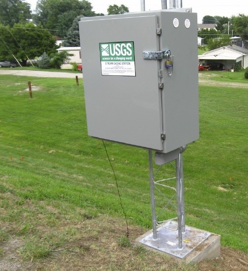
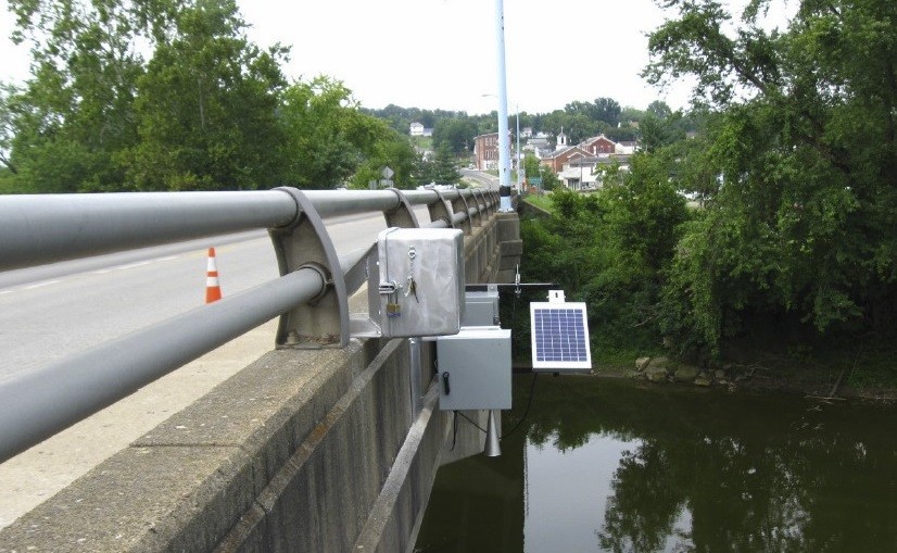
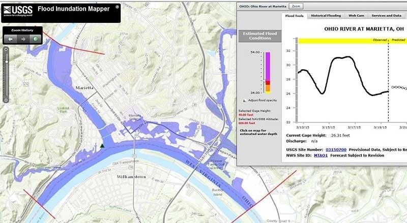
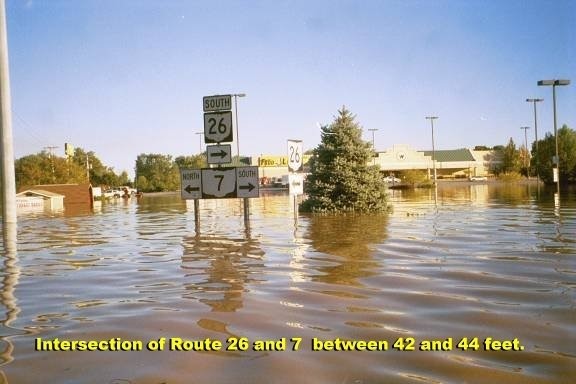
The scope of the pilot project consisted of installing two stream gages to enhance flood-forecast capabilities, augmenting existing network of gages in the region, leveraging the installation of gages, and publishing a USGS Scientific Investigation Report. Now completed, the project aids in forecasting flood stages in advance of the occurrence of the peak-flood stage, improving emergency response actions, communicating risks associated with flooding, and enhancing public awareness. The flood inundation warning system reduces flood risk by providing flood inundation maps and early flood warning in addition to allowing communities to accurately predict where flooding will occur. The National Weather Service (NWS) and the USGS flood-inundation mapping website provides information to the general public, which allows for public and community officials to better plan and respond to flood events.
The project was a collaborative effort -- leveraging resources and expertise among several agencies and local communities including USGS, NWS, USACE, Muskingum Watershed Conservancy District (MWCD), Ohio Division Natural Resources (ODNR), Ohio Emergency Management Agency (OEMA), Housing and Urban Development (HUD), City of Marietta, Washington and Morgan County Commissioners, a local flood mitigation committee, and RFG Associates, Inc. USGS and NWS worked closely to design and implement the flood warning network to enhance forecast capabilities. USGS was the project lead for this effort and collaborated with other Federal, State, regional, and local partners to ensure successful development of the warning system. As a partner, USACE contributed funds toward the purchase and installation of stream gages and continues to support the project through Operation and Maintenance activities on the gages by providing funding through the National Cooperative Stream Gage Program.
One barrier the team encountered during the implementation of the project revolved around finding a solution to reflect possible backwater conditions. High stages on the Ohio River can create backwater conditions on the Muskingum River that extend approximately 25 miles upstream. These backwater conditions cause surface elevations to increase. Given the impact of the backwater conditions on the developed model, USGS identified the need to complete additional, unplanned hydraulic modeling on the Muskingum River to better account for these effects.
Collaboration and communication are key elements in working together to foster relationships and gain an understanding of the need for a strategic flood warning system in the region. A press conference was held to finalize the project, which recognized partner support. This project displays the success of a multiagency collaboration effort and has the potential to serve as a model for Silver Jackets initiatives for years to come. The success of the initial Silver Jacket "pilot projects", such as the Marietta Flood Inundation Warning System has subsequently paved the way for the Silver Jacket Interagency Flood Risk Management projects we have today.
Social Sharing