Imagine you're driving to a vacation beach house, when suddenly your Global Positioning System (GPS) tells you that you're veering off into the ocean. It's obvious to you that you're still on the road, a good mile or two away from the sea. Without warning, you're navigating in the blind, unsure of your exact location or where you are in reference to your destination. Depending on how quickly you get your signal back, you could be drastically off-course, meaning you'll need to re-route and your vacation will be delayed. In a world where we utilize GPS technology on a daily basis, scenarios such as these can be frustrating.
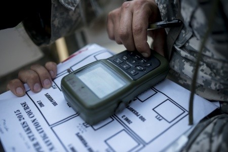
Now imagine you're a soldier navigating a valley in Afghanistan. The same situation strikes -- you lose your GPS signal and are now traveling in the blind -- only you're on a mission and veering off-course can result in dangerous consequences. When GPS satellite signals are impeded or denied in a combat environment, whether by terrain conditions or enemy interference, it inhibits troops' ability to complete the mission. At best, the signal returns quickly. If not, it could leave soldiers vulnerable in hostile territory.
Read more: http://science.dodlive.mil/2016/02/27/staying-on-course-positioning-navigation-and-timing-pnt-and-what-it-means-for-the-soldier/
Social Sharing