Environmental researchers from the Army Corps of Engineers slogged through the wilds of Fort Jackson last week, looking for unmapped wetlands.
The post is one of three the researchers will examine -- Fort Stewart, Georgia, and Fort Carson, Colorado, are the other two -- to determine the accuracy of maps and data that Army installations use for planning. Most maps use aerial photography, which doesn't always depict wetlands accurately -- or at all.
"Wetlands can be standing water and be really, really wet," explained Elizabeth Murray, a scientist with the Corps' Engineer Research and Development Center. Those wetlands are easy to photograph and map.
Others -- such as those in the sand hills of Fort Jackson -- can be groundwater wetlands, welling up and subsiding depending on geography that either impedes or facilitates the flow of water.
What current maps miss "most systemically is groundwater-fed wetlands," Murray said. "They're just not wet enough to be picked up by aerial photography."
Fort Jackson comprises more than 51,000 acres, about 10 percent of it wetlands.
By comparison, Fort Carson is arid and Fort Stewart, swampy. Researchers on the ground found that maps of Fort Carson missed lush marshes at the bottoms of canyons but captured standing water unsuitable for supporting ecosystems.
Mapping wetlands accurately is especially important because though they cannot be used for building, they often support distinctive species of plants and animals.
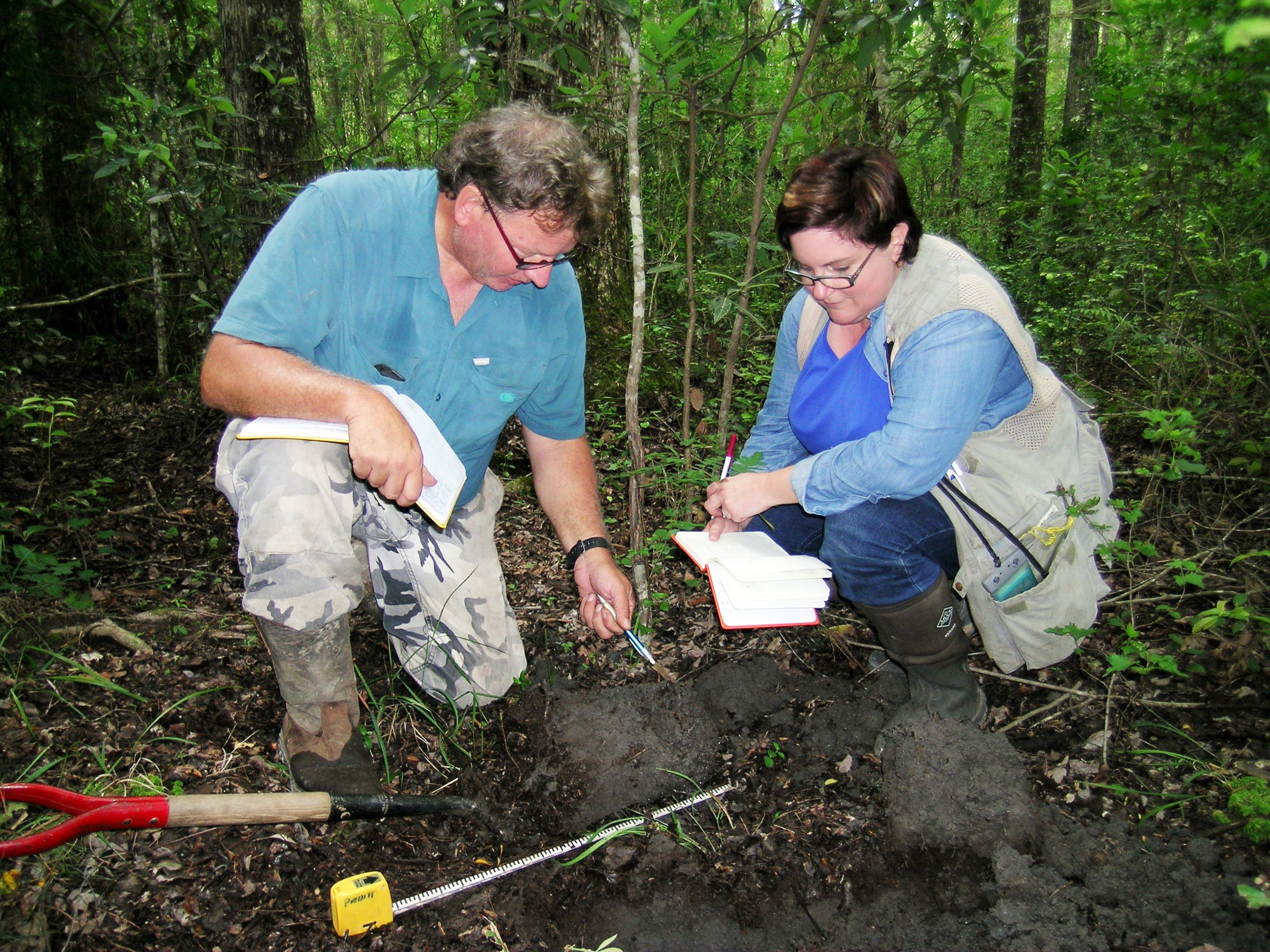
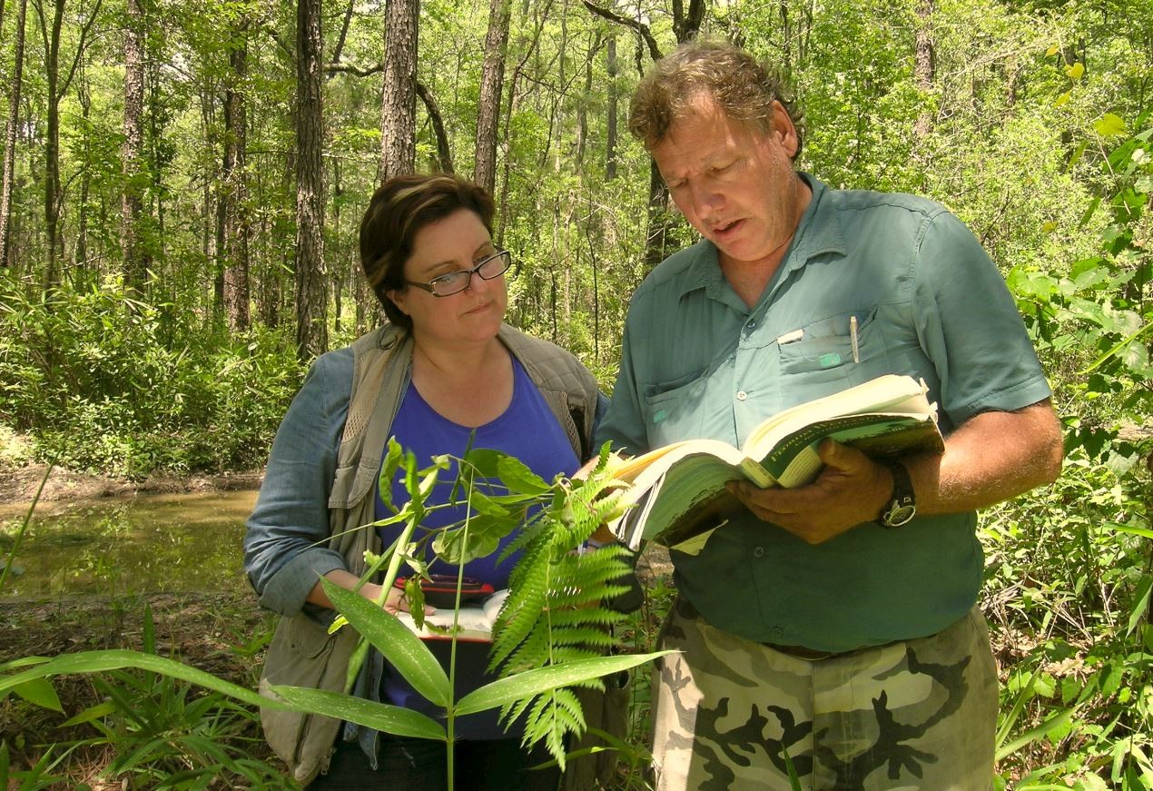
So when they were at Fort Jackson, Murray and Corps colleague Bruce Pruitt took soil samples, inventoried plants and sought standing water with the aid of wildlife biologist Stanley Rikard of Fort Jackson's Directorate of Public Works. Because Rikard knows the grounds, Murray said, he was able to take researchers to uncharted wetlands -- "he started leading us to places that weren't on any maps."
For his part, Rikard said post wildlife biologists were "finding in a lot of cases, the maps are getting it wrong," showing the need for what he called "ground truthing."
Fort Jackson, like other posts, uses maps by the National Wetlands Inventory of the U.S. Fish and Wildlife Service -- maps Murray and Pruitt are finding to be inaccurate in some cases. Luckily,
Murray said, the post commissioned its own wetlands map in the 1990s, one that picked up wetlands that the NWI had missed.
The Defense Department's Legacy Project finances Murray and Pruitt's research.
Social Sharing