
LINCOLN, Neb. - Flooding, with record flood stages in the Salt Creek basin struck Lincoln, Nebraska, on Thursday, May 7.
Heavy, unpredicted rain fell overnight on May 6, with rainfall totals at nearly seven inches in Lincoln and up to nearly 10.5 inches in Fairbury, Nebraska, near the Little Blue River nearly 70 miles southwest of Lincoln.
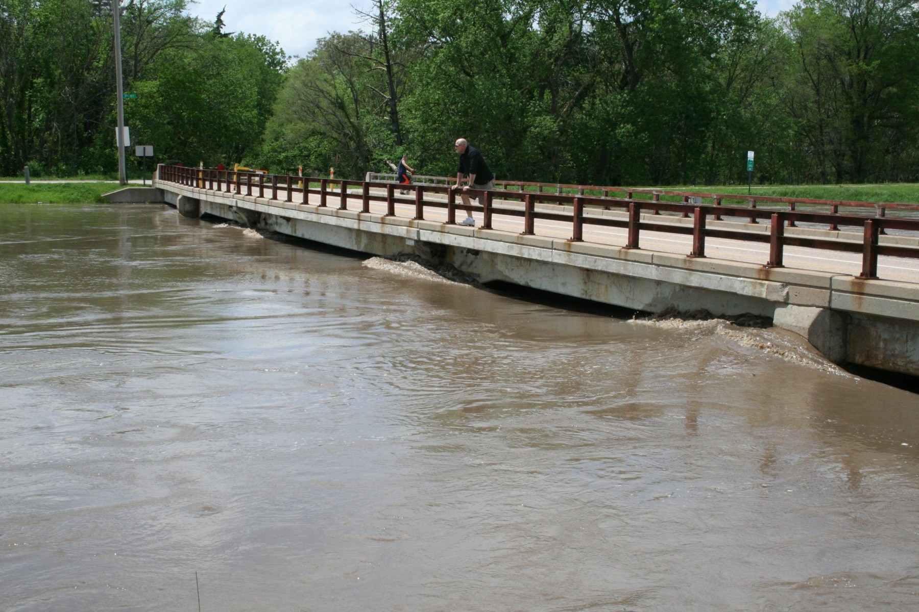
Runoff from the torrential storms set modern stage records along the Salt Creek as well as at several of the Salt Creek Dams constructed by the U.S. Army Corps of Engineers. The high stages also reached the top of levees at three locations in and around Lincoln.
The historic record crest for Salt Creek where it crosses 27th Street was July, 6, 1908 at 33.6 feet. At its peak on Thursday, Salt Creek reached 28.67 feet around 2:15 p.m. However, with all the runoff and broken water level records, reported damages were significantly lower than similar previous events in the area.
"The Antelope Valley and Salt Creek projects, constructed in cooperation with the U.S. Army Corps of Engineers, Omaha District and Lower Platte South Natural Resources District, helped keep central Lincoln from experiencing significant flooding damages," said Kim Thomas, Chief of Emergency Management for the Omaha District.
Although roads were closed and driving around Lincoln became difficult, the Salt Creek Levee System and Antelope Valley Projects performed as designed.
"In some places, the water came very close to the top of the levee," said Lowell Blankers, a USACE engineer who assisted with levee surveillance.
The City of Lincoln encouraged residents in the North and South Bottoms neighborhoods to consider a voluntary evacuation as water levels rose along the nearby levee.
These neighborhoods, constructed primarily in the late 1800s and early 1900s, have a history of flooding with some of the homes' foundations elevated following previous floods. While many residents evacuated, most had returned to their homes by the evening.
The series of Salt Creek dams, upstream from Lincoln, saw record or near-record elevations from the runoff performing as designed with no significant issues. The water captured at these dams would otherwise have entered Salt Creek resulting in even higher crests in downtown Lincoln. As levels decline along Salt Creek, the captured flood waters in the Salt Creek Dams will be gradually released to prevent contributing to downstream flooding.
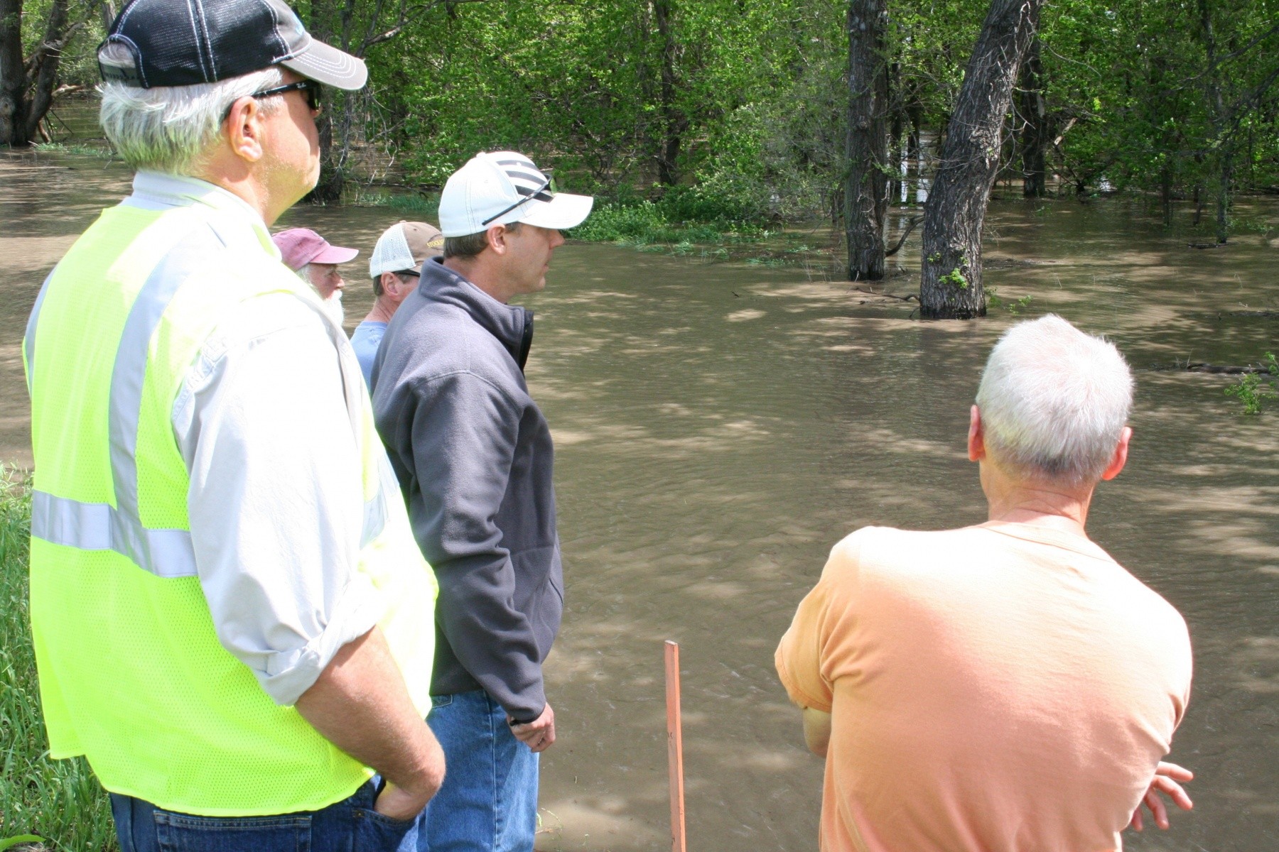
As the Salt Creek and nearby tributaries reached flood stage, the state of Nebraska and LPSNRD requested technical assistance from the U.S. Army Corps of Engineers under Public Law 84-99, which authorizes USACE to provide assistance when waterways are in or forecast to be in or above flood stage.
Eleven teams were dispatched to Lincoln to conduct surveillance of the levee system, along with the Lower Platte South Natural Resources District, and the dams around Lincoln.
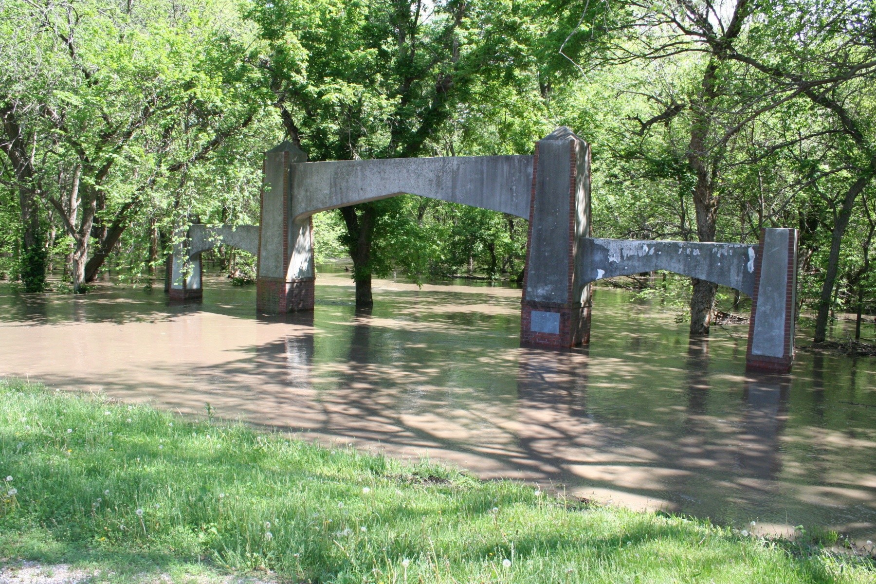
The flooding closed walking and biking paths, and trees and recreation areas were under water, but this was by design. Nearby structures experienced few issues, which prior to the Antelope Valley Project, would have been at significant risk from a similar event.
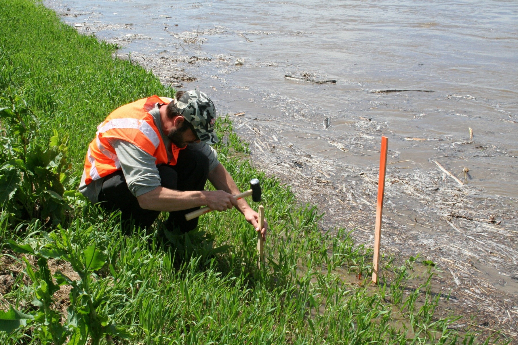
"There were no concerns with any of the Salt Creek levees and any issues we investigated were not significant and promptly addressed," said Bryan Flere, a USACE engineer who assisted with levee surveillance.
Contractors working for the LPSNRD ringed a cluster of boils along the Salt Creek left bank and Oak Creek left bank levee in Lincoln and another near Haymarket Park.
On Friday, water through the ringed boil was flowing clearly indicating there were no significant issues with erosion.
As water levels recede, the City of Lincoln, LPSNRD and USACE are watching weather forecasts and are prepared to respond if another significant rain event impacts an already saturated system.
The next steps are to assess the post-flood conditions of the flood control structures and repair any damages to ensure the system is to pre-flood conditions.
Social Sharing