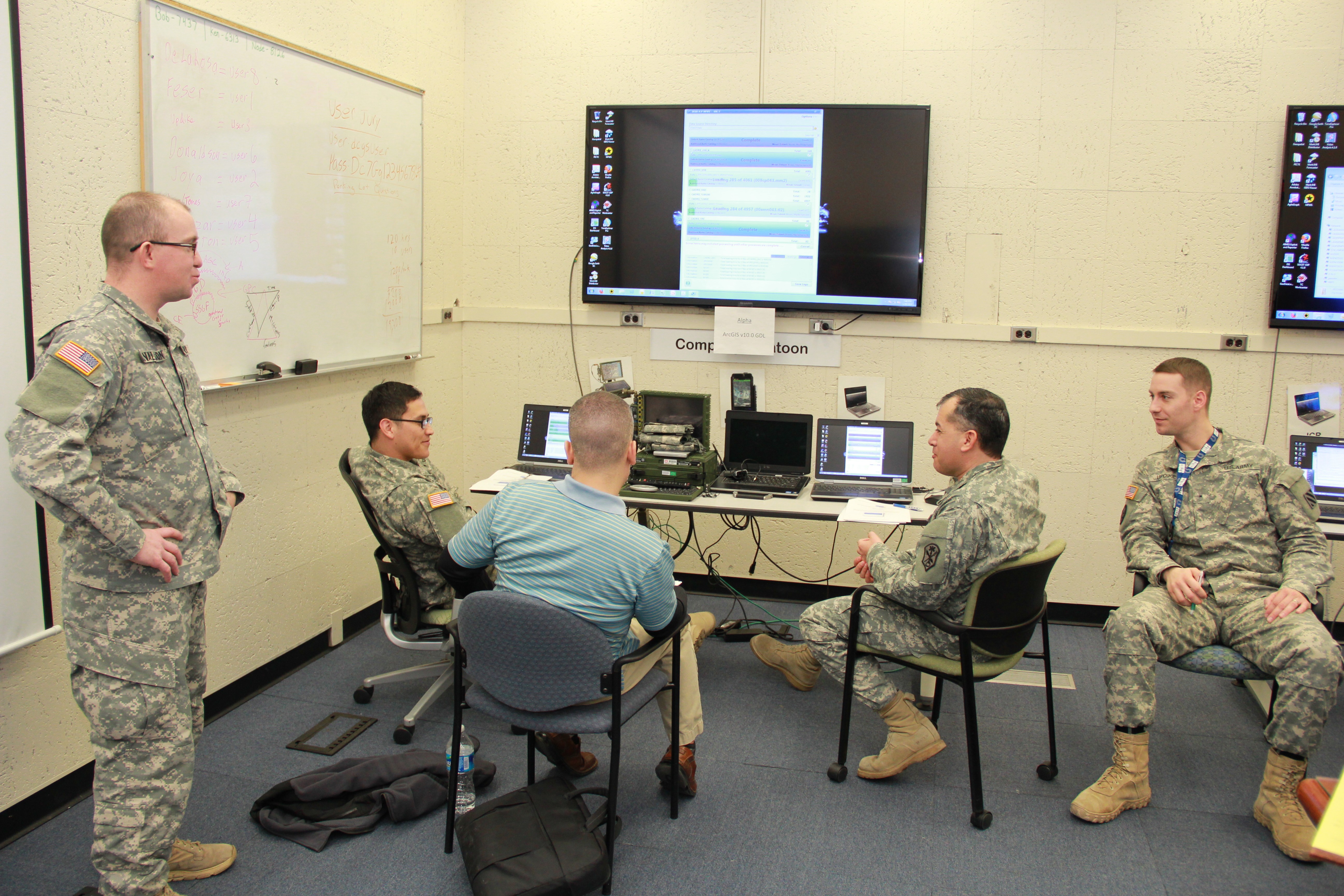
Ft. Belvoir, VA (March 30, 2015) -- Project Manager Distributed Common Ground System-Army (PM DCGS-A), Geospatial Intelligence (GEOINT) Division, in support of DCGS-A Increment 2, conducted a User Jury evaluating the most efficient way to load, manage, and disseminate geospatial data.
DCGS-A is the Army's premier intelligence gathering system that spans all echelons of command. The system enables decision makers to save lives by gathering, analyzing and sharing vital intelligence information into a common system. The future release of Increment 2 will provide the next generation with significant refinement, upgrades and enhancements to the DCGS-A intelligence system for our Soldiers and leaders. These improvements will include compliance with the intelligence community's infrastructure and utilizing the best of available commercial tools.
The user jury evaluated the effectiveness, ease of use, and time efficient variances between Government off the Shelf (GOTS), Commercial off the Shelf (COTS), and hybrid GOTS/COTS applications and tools for loading geospatial data into the DCGS-A system.
The user jury took place in the Army Geospatial Center (AGC), Army Geospatial Enterprise (AGE) Node in Alexandria, Va. The AGE Node provides experimentation, integration and engineering of research and development efforts to ensure interoperability within the Common Operating Environment. The Node also allows for collaboration with industry and academia to enhance geospatial information services technology and permits for demonstrations and evaluations of current and emerging geospatial standards and standards implementations.
"Soldier feedback is critical to the Army acquisition process in providing the best possible tools and equipment. Thanks to the success of the user jury, DCGS-A will continue to empower commanders, decision makers, and analysts with vital geospatial intelligence, surveillance, and reconnaissance information at all echelons critical to mission execution and success," LTC Raymond Litzinger, Chief of Geospatial Engineering at the TRADOC's Capability Manager for Geospatial (TCM-Geo) stated during the February 2015 event.
The results of the user jury will assist the DCGS-A GEOINT Division in defining the future software suite used by Army Geospatial Engineers in the upcoming release of Increment 2 for DCGS-A. This future software suite will provide more robust out of the box capabilities while limiting the amount of customization, development and testing required there by speeding the delivery of capability to the field.
The user jury will assist the Army Materiel System Analysis Activity (AMSAA) in producing and finalizing their DCGS-A Trade Space Analysis (TSA) Study designed to understand the most efficient way to deliver the Standard Sharable Geospatial Foundation (SSGF). AMSAA received feedback from participants on ease-of-use and functionality for each software solution. The evaluation included eight 125Ds (Geospatial Engineer Technicians (Warrant Officers) and 12Ys (Geospatial Engineers) (NCO and Enlisted Soldiers) from the 512th Engineering Detachment, Army GeoINT Battalion, and 100th Engineering Company, divided into teams of two. Soldiers provided input on a variety of tools (GOTS, COTS, and hybrid solutions) in the DCGS-A environment.
Army Human Systems Integration captured critical data and feedback from the Soldiers to support the evaluation. Feedback from the user jury will be incorporated into AMSAA's DCGS-A TSA.
The DCGS-A GEOINT Division continues to improve the current GEOINT capabilities of DCGS-A. Future user jury events will look to streamline vector editing, database synchronization, and model creation/hosting. These improvements will maintain DCGS-A as the Army's premier intelligence system for our Soldiers and Army leaders.
Social Sharing