

Japanese soldiers invaded Attu Island June 7, 1942, claiming it in hopes of setting up a base of operations during World War II. U.S. Soldiers landed on Attu May 11, 1943, for what they thought would be a three-day campaign to regain control of the Aleutian island, but severely cold temperatures, dense fog and hurricane-force winds caused the battle to last for more than two weeks. Although the United States was victorious, 549 Americans died, 1,148 were wounded and 1,200 suffered severe cold weather injuries. Of the approximately 2,600 to 3,000 Japanese invaders, only 28 survived to be taken prisoner, the rest were either killed in battle or committed suicide to avoid capture. The fallen Japanese soldiers remain buried on the island.
Sixty-six years later, Japan is America's ally in returning those fallen soldiers to their homeland, and six Soldiers with Fort Richardson's 6th Engineer Battalion traveled to the island Aug. 5-19 to help make that a reality.
According to HHC, 6th Eng. reconnaissance officer 2nd Lt. Aaron Anderson, the Soldiers used information acquired from two previous missions to help plot the several burial sites of the Japanese soldiers, to establish a more precise idea as to what would be required to recover the remains and to select a site for building a potential monument.
"We conducted a route reconnaissance, and we also put out grid references and took pictures of the potential burial sites that were out there that were investigated last year," Anderson said. "No digging was done. We were simply out there to set the conditions so that a larger mission could go out and do those operations in, maybe, 2010."
The assessment had to take into account what would be required to access four burial sites, he said, and the serviceability of the island's bridges, road conditions and access points.
"The key aspect of the next step will be: how accessible are the sites' Can the roads sustain and carry the traffic, the vehicle traffic that will allow the historians and the folks who will do the actual excavation to get to the sites'" said Lt. Col. Roosevelt Samuel, 6th Eng. commander. "That will go back and figure into all of the planning in terms of how realistic it is that we can get to the sites and, if we really want to go for this, how much engineering has to be done prior to getting the historians out to the sites."
According to 6th Eng. Operations Sergeant Master Sgt. David Crandall, one of the biggest obstacles to be overcome in the recovery effort is the more than 10 miles of deteriorating roadway that must be used to access the burial sites.
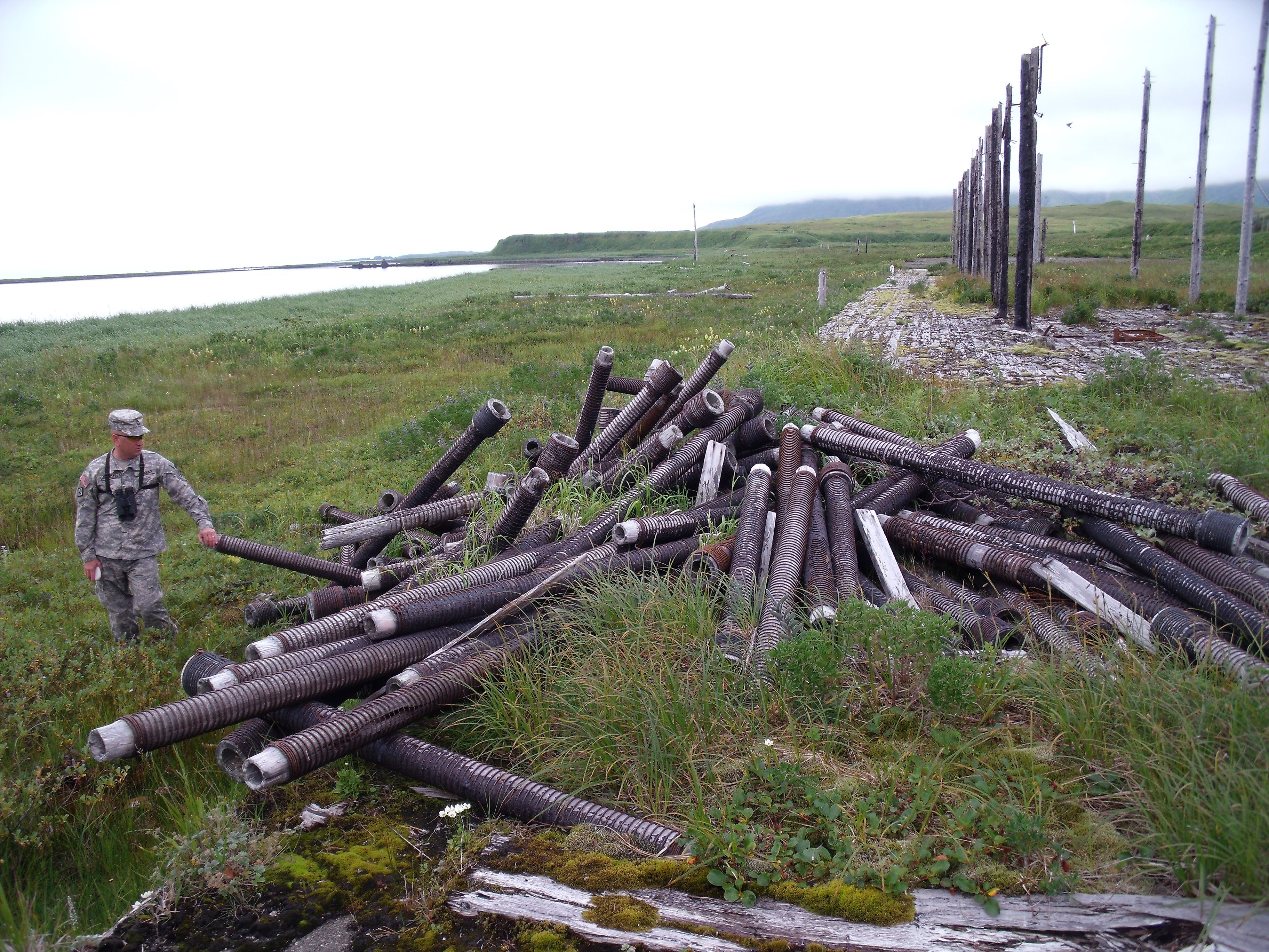
"Because the area's a historical landmark, we were restricted to the established road only for the vehicular traffic. Any time we went off the road, it was foot traffic only," Anderson said, explaining the Soldiers used a Small Unit Support Vehicle to navigate the road. "The SUSV that we brought worked very well, and we were able to get around without much problem at all. That being said, the vehicle that we brought was designed to go out on terrain such as that."
Future operations will have to rely on much heavier equipment to recover the remains, he said, which will not be able to navigate the road's curves, culverts, varying grades and washed out areas as easily.
Even the SUSV was pushed to its limits, Anderson said, forcing the Soldiers to use an all-terrain, amphibious Argo they borrowed from the Coast Guard members stationed on the island to go beyond a severely washed out area.
By mounting an Automated Route Reconnaissance Kit to the Argo, Crandall said the Soldiers were able to literally get the lay of the land, as the setup includes a camera similar to those used in police vehicles.
"It videotapes everything, but it has a brain box that tells you your radius, it tells you your slopes," he said, adding the ARRK allowed Soldiers to get precise grid coordinates of the burial sites and the conditions of the route that must be used to access them.
"We investigated some of the potential sites that missions in 2007 and 2008 had already marked off and investigated, but nobody had actually gone out and put a grid coordinate to them or actually had good quality digital photography to show where they are in reference to other landmarks on the island," Anderson said. "We would spend a day doing nothing but walking around off the road along ridges and down in the valleys trying to find a site that may be no more than 20-yards-by-10-yards wide."
Such endeavors allowed the Solders to gain a greater appreciation for what those who lived and fought on the island during World War II experienced.
"I think there're two trees on the entire island planted in one small spot. So when you walk out there...the battle plays out itself," Anderson said. "Being out there for two weeks and seeing the weather and seeing the conditions and knowing what those soldiers on both sides went through in order to fight out there for 19 days and for the Japanese who lived out there for a year-and-a-half at least, you have nothing but the utmost respect for those soldiers."
Telltale signs of the conflict between the allied and axis forces still remain on the island.
"The trenches are still there. The fighting positions are still there. There're places that there're pickets that still have the barbed wire," Anderson said. "You can stand on top of a hill and look down into a valley knowing the significance and just picture the soldiers walking up the valley and the fighting and the positions on top of certain mountains."
Although the engineers explored the island in August, he said the conditions of the island made it easy to relate to what it must have been like to fight there during more extreme weather.
"Whenever we would dismount the vehicles and search these objective sites or we would do a little bit of hiking on the side to get better vantage points, you'd go for a few hours, and you'd be smoked," Anderson said, explaining the island exploration was being done under favorable conditions.
"I can only imagine the hell that it must have been like in May," Crandall said. "It's beautiful, but I can see where it would definitely have a very bitter edge to it."
Now that a more comprehensive reconnaissance mission has been completed, Samuel said it's important to keep moving forward while keeping in mind the importance of helping the Japanese recover the remains of their soldiers.
"I put it into the context of, 'Hey look at what we've done and how difficult it's been for us to get the remains of our Soldiers back from Vietnam and the lack of closure that our fellow families have had for decades because we haven't been able to get those remains back," he said. "We took the mission, and still do, very seriously just because of that significance."
Although the engineers will continue to plan accordingly in the event the excavation of the burial sites moves forward, Maj. Christopher Klein, 6th Eng. S-3, said there is still much to take into account prior to making the excavation a reality.
"Attu Island is a national historic landmark, so basically the way the lawyers put it to me is, 'Think about it as if you were going to Gettysburg and digging up Soldiers,'" he said. "So it's very sensitive as to what we can do."
In addition to determining who will fund the excavation, Klein said coordination has to be made between the Department of Defense and state environmental, historical and Native organizations, all of which have an interest in preserving and protecting the island.
"Now you have two different aspects of what could be coming next: either a follow-up and the beginning of excavation or just a symbolic placing of a monument to pay homage to the soldiers that fought there," Samuel said.
In the end, Crandall said the Japanese government will have to decide how significant recovering the remains is for the people of Japan.
"I think this is more of an offering to the government of Japan," he said, explaining the engineers have provided the country with what is required to get the recovery accomplished, and now Japan officials will have to decide if it's feasible. "This is maybe step three of a 12-step process."
Social Sharing