
FLORENCE -- United States Army Garrison Italy command teams from Vicenza and Darby, along with experts from U.S. Army Africa G2 GeoINT, conducted a professional development visit and partner nation engagement at the Istituto Geografico Militare (Military Geographic Institute) in Florence March 23.
The visit came about because of one company commander who wanted to know more about the organization.
"I learned about the IGM from two impressive maps that had been given to the garrison at Camp Darby. No one knew where they had come from, but I found the Institute's contact information in the bottom corner and decided I had to know more about them," said Capt. Brennan Roorda, company commander, Headquarters and Headquarters Company, USAG Italy.
"I had two objectives for the visit. First, to gain exposure to modern military mapmaking methods. Second, to learn about historical maps and mapmaking methods here in Italy," he added.
Roorda came to learn that IGM is the national mapping agency for Italy and is managed directly by the Italian Defense General Staff in Rome. The institute was established in 1872 to consolidate the topographical and cartographical data existing prior to the unification of Italy in 1861. Following a general topographical survey of the recently established kingdom, the agency's first mission was to produce the map of Italy on the scale of 1:100,000, which was quite an accomplishment for those years.
The visit offered the U.S. Army team an opportunity to learn more about the tools and technologies used through the years by Italian Army experts, both military and civilian, to analyze, manage and display geographic information and data from printed maps up to current live web interfaces.
"The tour started with an overview brief of the IGM describing their efforts in producing Multi-National Geospatial Co-Production (MGCP) map data as a lead nation, and their focus is in the Horn of Africa," said Chief Warrant Officer 4 Scott Hashagen, one of four USARAF geospatial service members who joined the garrison team for the field trip.
The introductory session outlined the IGM's main activities. These include acquisition, updating and dissemination of geospatial data; aerophotographic survey of the national territory of Italy; maintenance of state borders; and preservation of the National Archive of Historical Maps.
"The briefing also included an overview of the IGM's organizational structure, the tasks they perform, and the various activities they manage including their Army geospatial production from generating new data to the international standard, applying the data to a standard finished product, and creating and maintaining web-map services within an enterprise environment," said Hashagen, who has nearly 20 years of experience serving the U.S. Army in the geospatial engineering field.
"I learned a lot from the visit. From the modern area, I learned about the geospatial information sharing databases that multiple partner countries, including the U.S. and Italy, have built to better support each other," said Roorda.
"I also learned about some of the difficulties modern mapmakers face and some of the tools they are developing to surmount those difficulties, such as open source data collection."
Capt. Marco Specchia, Italian Army liaison officer who coordinated the exchange, noted how, in its 145 years of activity, the IGM has brought together Italy's most capable imagery and geospatial assets, meeting the mapping needs of the Italian Armed Forces and other public entities such as the Italian Civil Protection Agency and the regional cadastral offices.
"For this reason, the IGM has become our national lead institution with a key role in providing the comprehensive platform of geographical intelligence needed for emergency management, military deployments and urban planning," Specchia said.
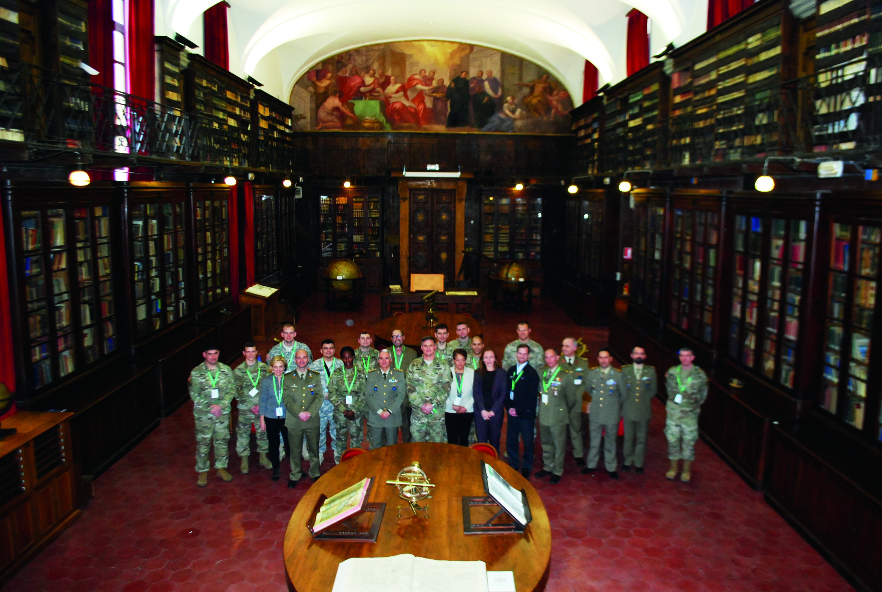
The Institute is housed downtown Florence in former 13th century monastic buildings adjacent the neighboring Cloister of the Santissima Annunziata. Also offered to participants was a tour of its museum, which boasts various collections of fine maps, prints, globes, aero-photograms and instruments for measuring altitude or distance, for calculating surface areas and for surveying.
"The historical tour, which included visiting their map library, seeing historical wall paintings, maps, and mapping artifacts dating back to the Roman times, was an extraordinary experience, especially learning that the Italians mapped the world similarly to those from the U.S. back in its early days," said Hashagen.
"From the historical side, I learned about tools and tricks cartographers and surveyors used to produce maps hundreds of years ago. I also learned about the method of printing maps, much like a printing press, but on copper sheets that were then pressed into the paper or canvas," Roorda said.
As for the overall value of this visit, Roorda said: "The ultimate benefit is a stronger security relationship. The better our understanding and the closer our ties with this beautiful nation of Italy, the better security partners we can be together."
Social Sharing