
ALEXANDRIA, Va. (Dec. 22, 2014) -- As the threat of the Ebola virus raises fear across the globe, U.S. Army Soldiers are using their technical skills in geospatial mapping to support relief efforts at the epicenter of the outbreak in Liberia.
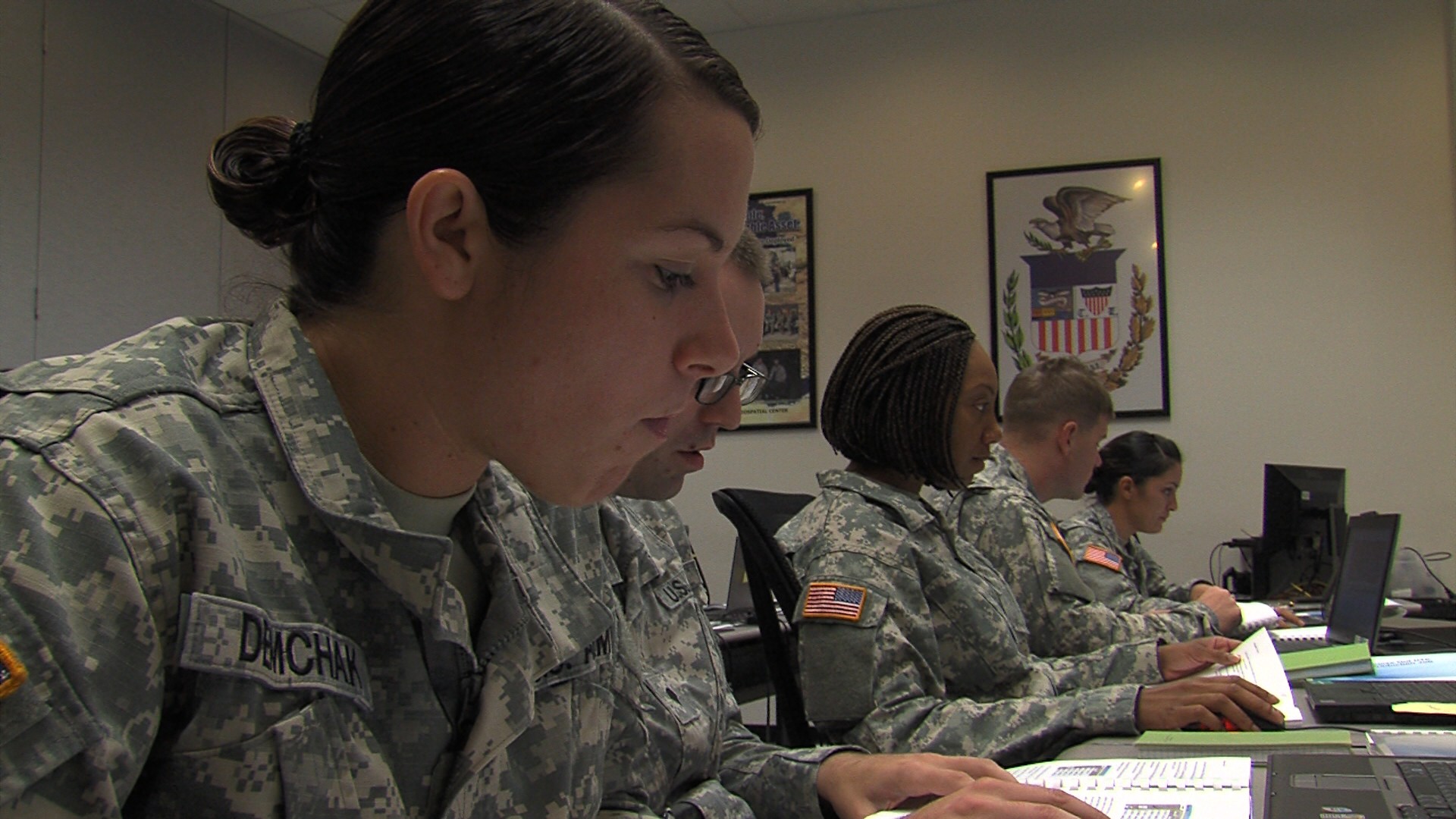
"We're about to deploy to Italy and we'll be working with the Ebola situation that's going on, helping to find locations to set up medical areas and to help find water that's potable," said Spc. Jennifer Atis. "I'm honored to be selected to be part of this mission. It makes me feel like I'm really doing something for my country."
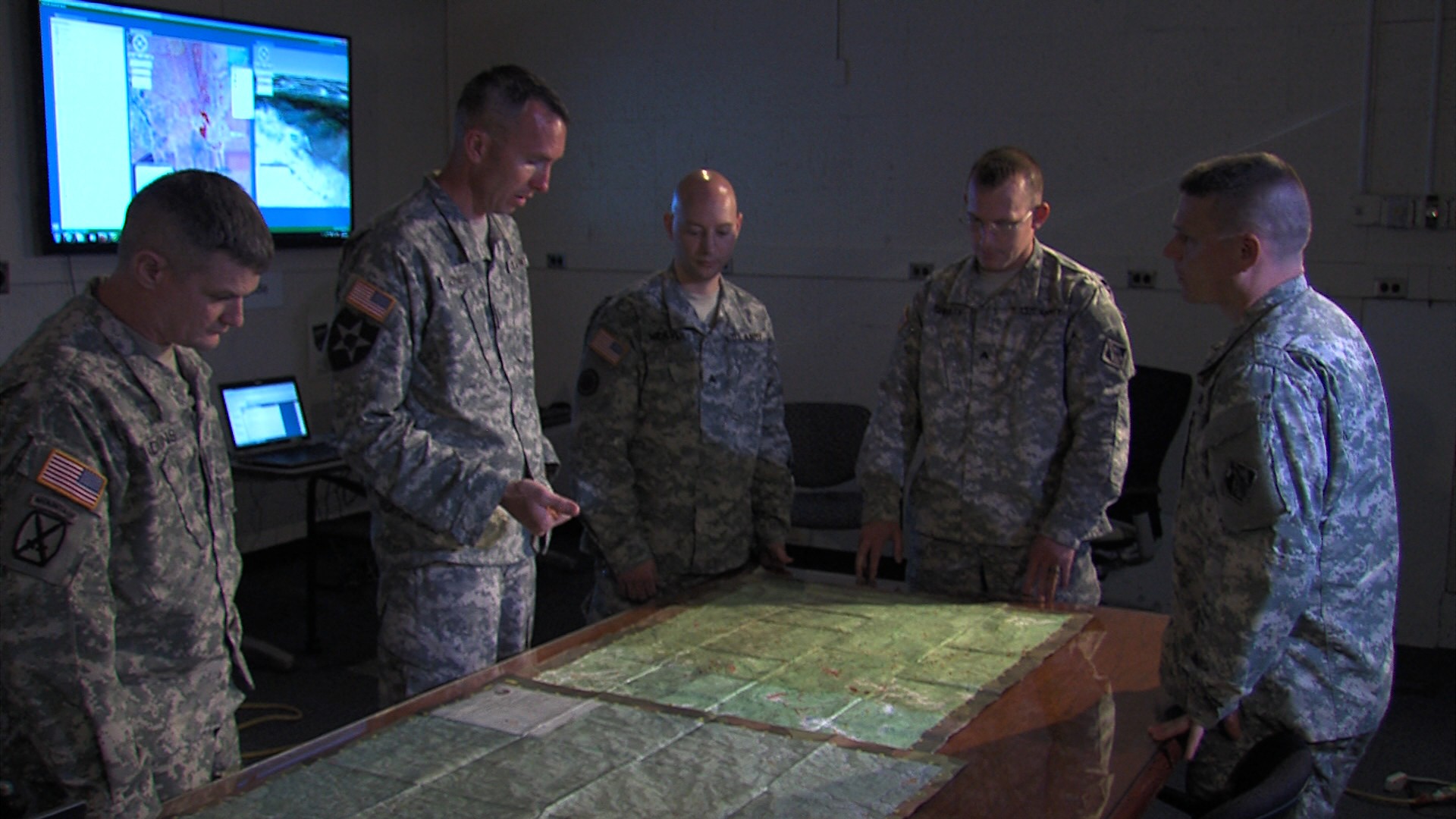
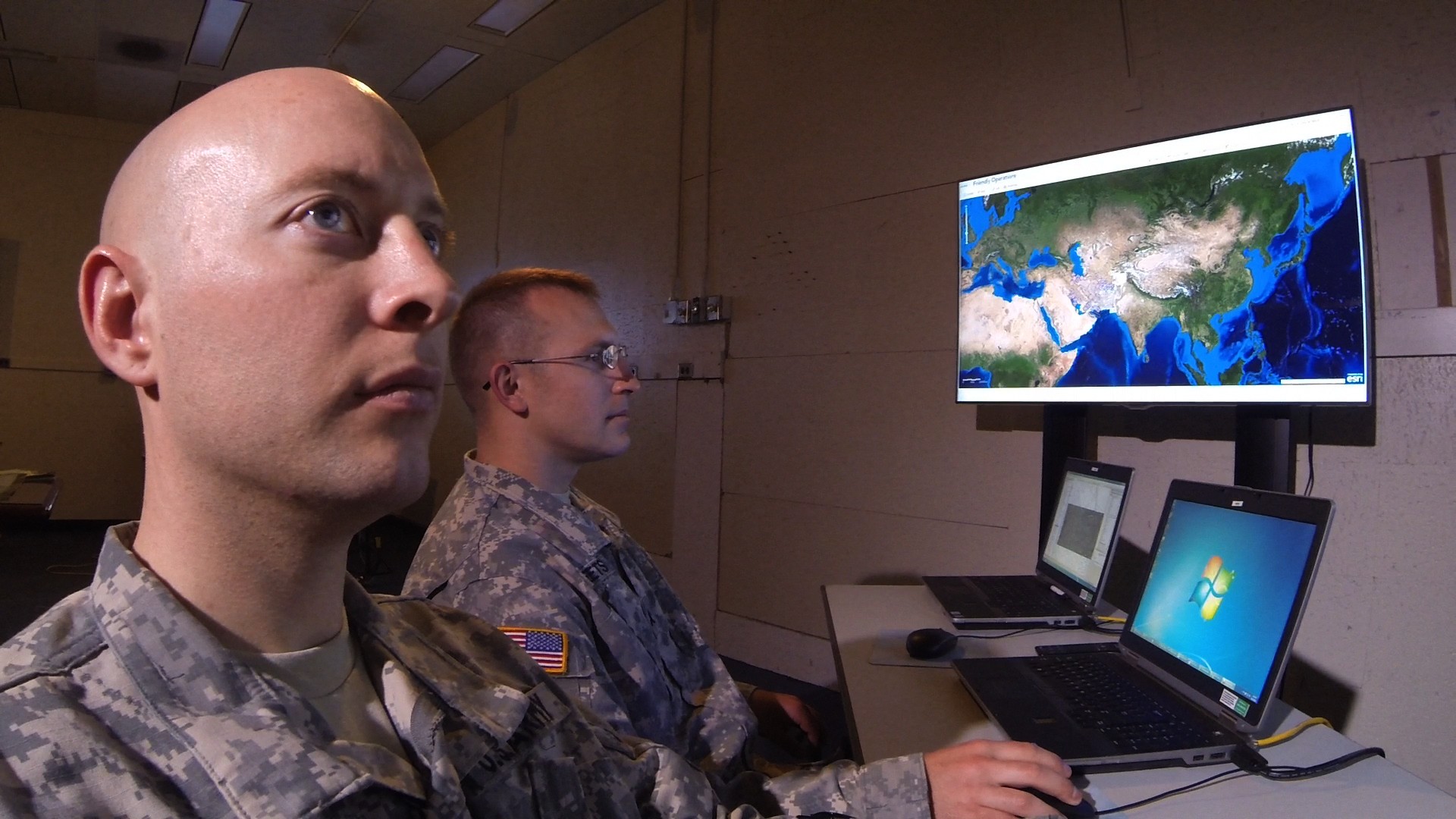
Soldiers at the Army Geospatial Center here, use their training as geospatial engineers to analyze data from satellite imagery, aerial photography and field reconnaissance to create detailed, high-tech maps that represent the terrain and its effects on Army missions.
"We received a request from United States Army Africa for geospatial engineering support for Operation Unified Assistance in regards to the Ebola relief effort in Liberia," said Chief Warrant Officer 4 William Jones. "They are really interested in lines of communication, or how we move troops and equipment around in Liberia in support of the relief effort."
Their mission isn't without challenges, including undeveloped roads and rainy weather conditions.
"There's some science behind it. There's a lot of math behind it, but there's also a lot of art behind making a map or making a geospatial engineer product in a three-dimensional computer-generated environment," Jones said. "So, [what's created is] almost like a gaming system type of environment."
According to Jones, the work of geospatial engineers is an integral part of every mission. The expertise of geospatial engineers informs decisions not only for commanders on the battlefield, but for Army humanitarian missions as well.
"I would say within the military services, we are taking the lead on this," said Dr. Joe Fontanella, director of the U.S. Army Geospatial Center. "In fact the director of the National Geospatial-Intelligence Agency has called our approach a best practice that should be emulated by other services."
Geospatial mapping analyzes many factors and the Army is using the latest technology that has come out of industry and Department of Defense laboratories, according to Fontanella. There is a fast growing need for geospatial engineers in the Army with less than 2,000 Soldiers working in the career field, he added.
"This skill set is just unbelievably marketable," said Jones. "It's very valuable to the Army, and it's just as highly sought after in the civilian sector."
"It takes you to places in the world you've never been," said Staff Sgt. Christopher Knight, geospatial engineer. "I've supported Department of Defense agencies like the Air force, Navy and Marine Corps, and some civilian organizations like the DEA."
Despite the challenges, which include keeping up with highly technical, ever-changing technology, geospatial engineers rise to the occasion and understand the important impact of their work.
"Being a geospatial engineer is very challenging, but the inner reward when it's complete is feeling very satisfied that you got something done that at first seemed impossible," said Atis.
Related Links:
U.S. Army news, information about Army's response to Ebola threat
<b>Army.mil: Humanitarian Relief -- Medical</b>
STAND-TO!: Ebola epidemic response efforts
Learn more aroubt U.S. Army Geospatial Engineers
VIDEO: U.S. Army Geospatial Engineers Support Ebola Relief Effort
Social Sharing